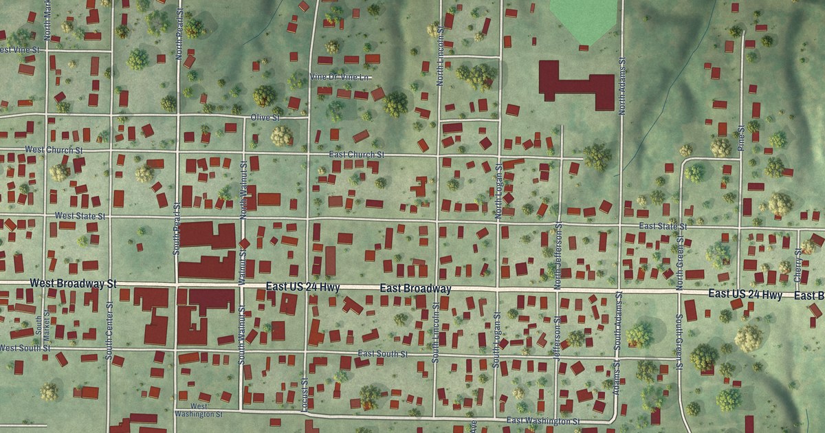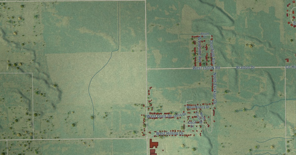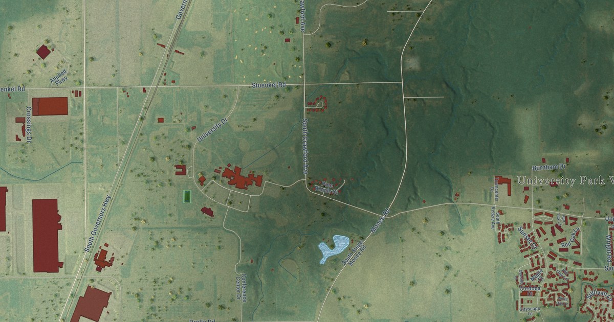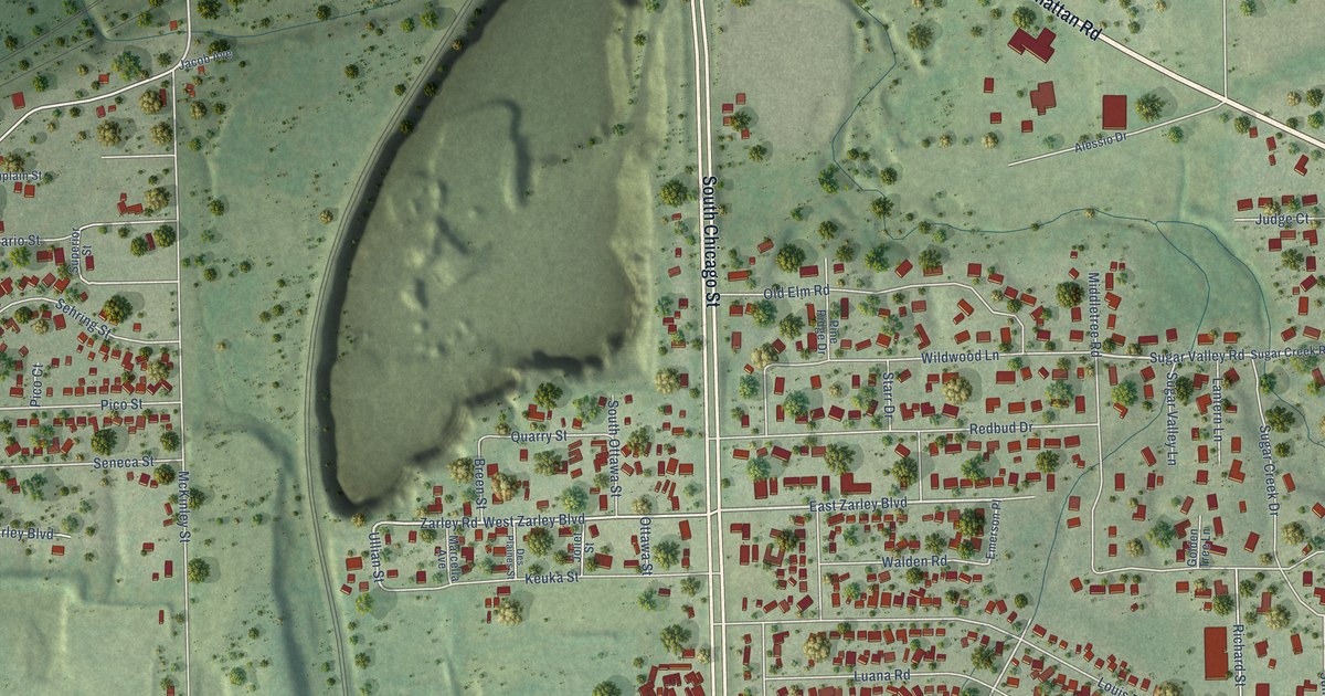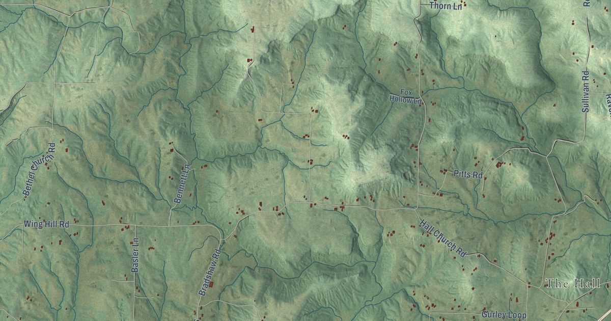
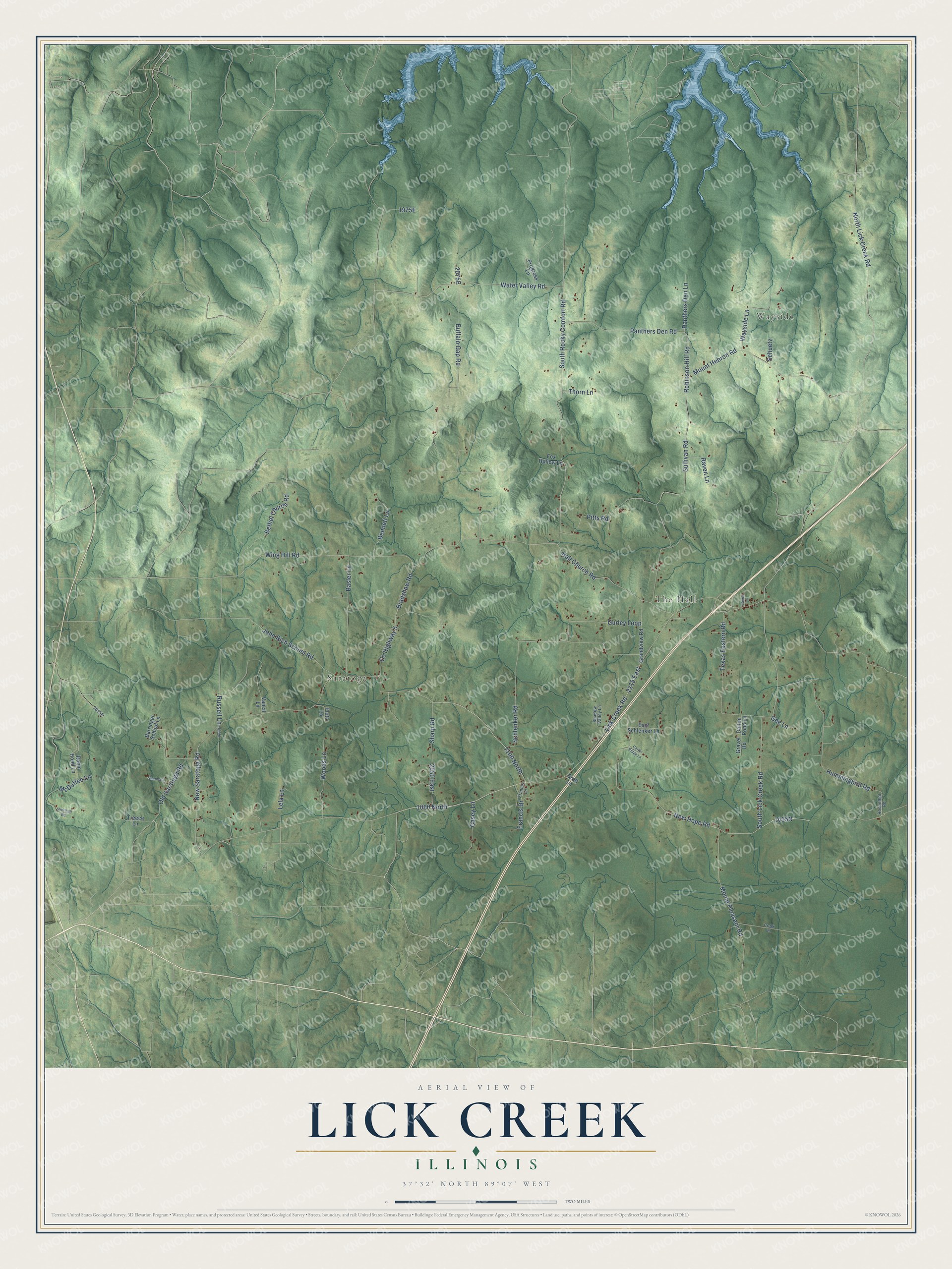
This beautifully detailed map of Lick Creek, Illinois was created in 2026 using aerial imagery combined with modern topographical, census, street and landmark data. It’s a one-of-a-kind view of Lick Creek that combines accurate data with a vintage aesthetic. The map shows every building in its true location, many of the roads carry their names, and the shaded topographic relief shows the shape of the land.
Explore an aerial view of Lick Creek, Illinois
On the map you’ll find Wayside, Saratoga, The Hall, 1060 North, 1100 North, 1015N, and 2075E, along with South Lick Creek Road, North Lick Creek Road, Water Valley Road, South Rocky Comfort Road, New Hope Road, and more. If you look closely you can even find your house accurately drawn in its correct location. Zoom in on the preview to look for yours.
Did You Know?
From the 1881 Combined History of Shelby and Moultrie Counties, Illinois: "In the spring of 1819, soon after their marriage, they moved to what is now Sangamon county, and settled on Lick Creek."
Lick Creek is a community in Union County.
Take a closer look at the Lick Creek map
Names on this map
These names are printed on this map.
Places: Wayside, Saratoga and The Hall.
Streets and roads: 1060 North, 1100 North, South Lick Creek Road, North Lick Creek Road, Water Valley Road, South Rocky Comfort Road, New Hope Road, 2215 East, Robinson Hill Road, Lick Creek Road, New Saratoga Road, Buffalo Gap Road.
More street names, A to Z
2050 East, Barringer School Lane, Basler Lane, Bennett Lane, Bethel Church Road, Bradshaw Road, Carter Ridge Lane, Casey Lane, Cook Lane, County Highway 5, Craft Lane, Dalton Pond Lane, East Schlenker Lane, Eaves Lane, Fox Hollow Lane, Francis Drive, Francis Lane, Gee Lane, Grandview Road, Gravel Road, Gurley Loop, Hall Church Road, Hummingbird Road, John Rich School Road, Lela Lane, McDuffee Lane, Mount Hebron Road, Mount Pleasant Road, Old Saratoga Road, Panthers Den Lane, Panthers Den Road, Pitts Road, Plott Lane, Progress Lane, Raven Lane, Robin Hood Lane, Rosenthal Road, Russell Lane, Schlenker Road, Schuetz, Shadow Valley Lane, Sharp Road, Shephard, Sherman Road, Sullivan Road, Texas Eastern Road, Thorn Lane, Treece Lane, Vancil Lane, Wayside Lane, Wing Hill Road, Woods Lane.
See it on a wall
The Lick Creek map as a framed print. Swipe for more.


This beautifully detailed map of Lick Creek makes an attractive addition to your office, library, or den, and it can even be used to teach children the geography and history of the area. It also makes a great gift for anyone with Lick Creek roots. When you’re done exploring, click here to get your copy of the Lick Creek map.