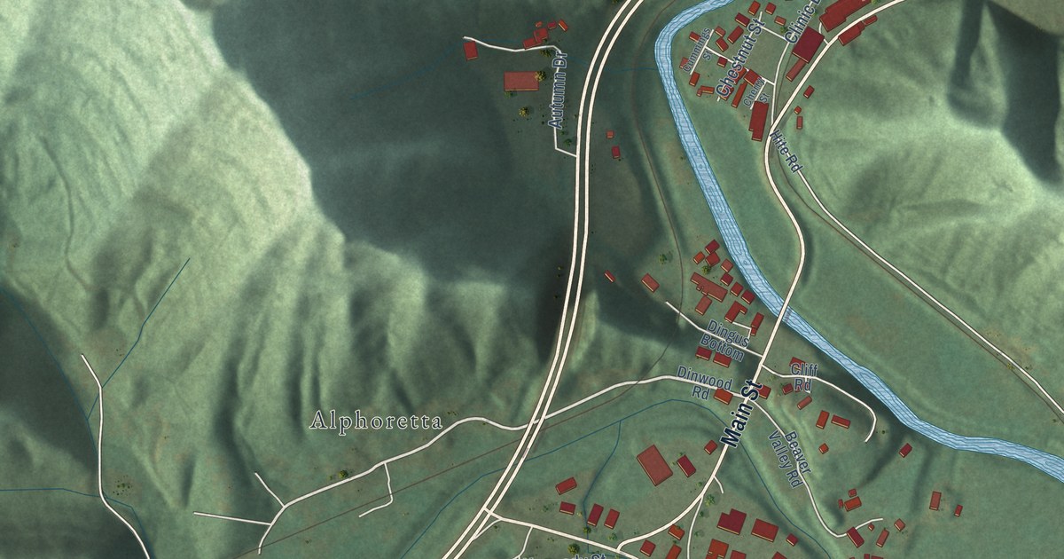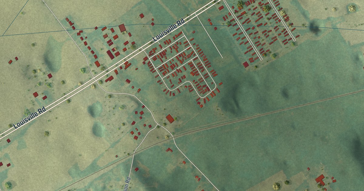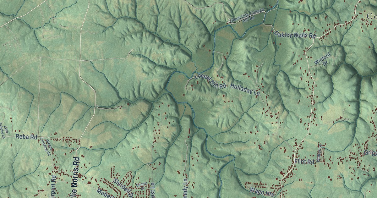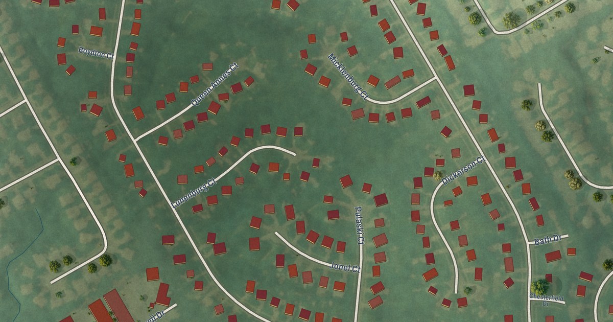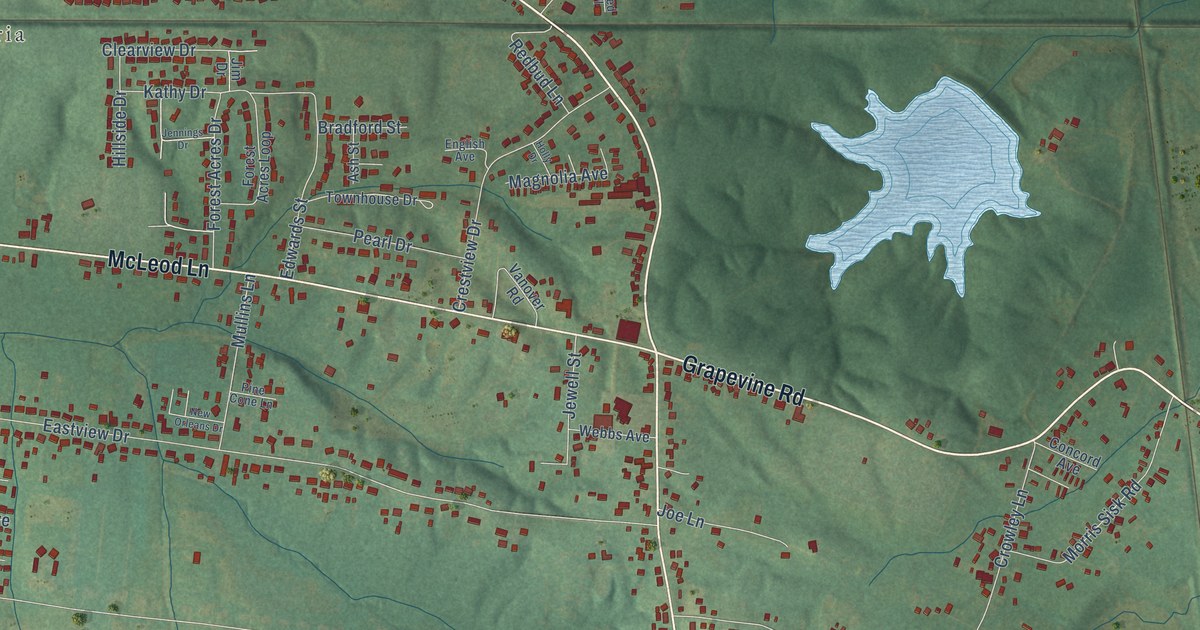
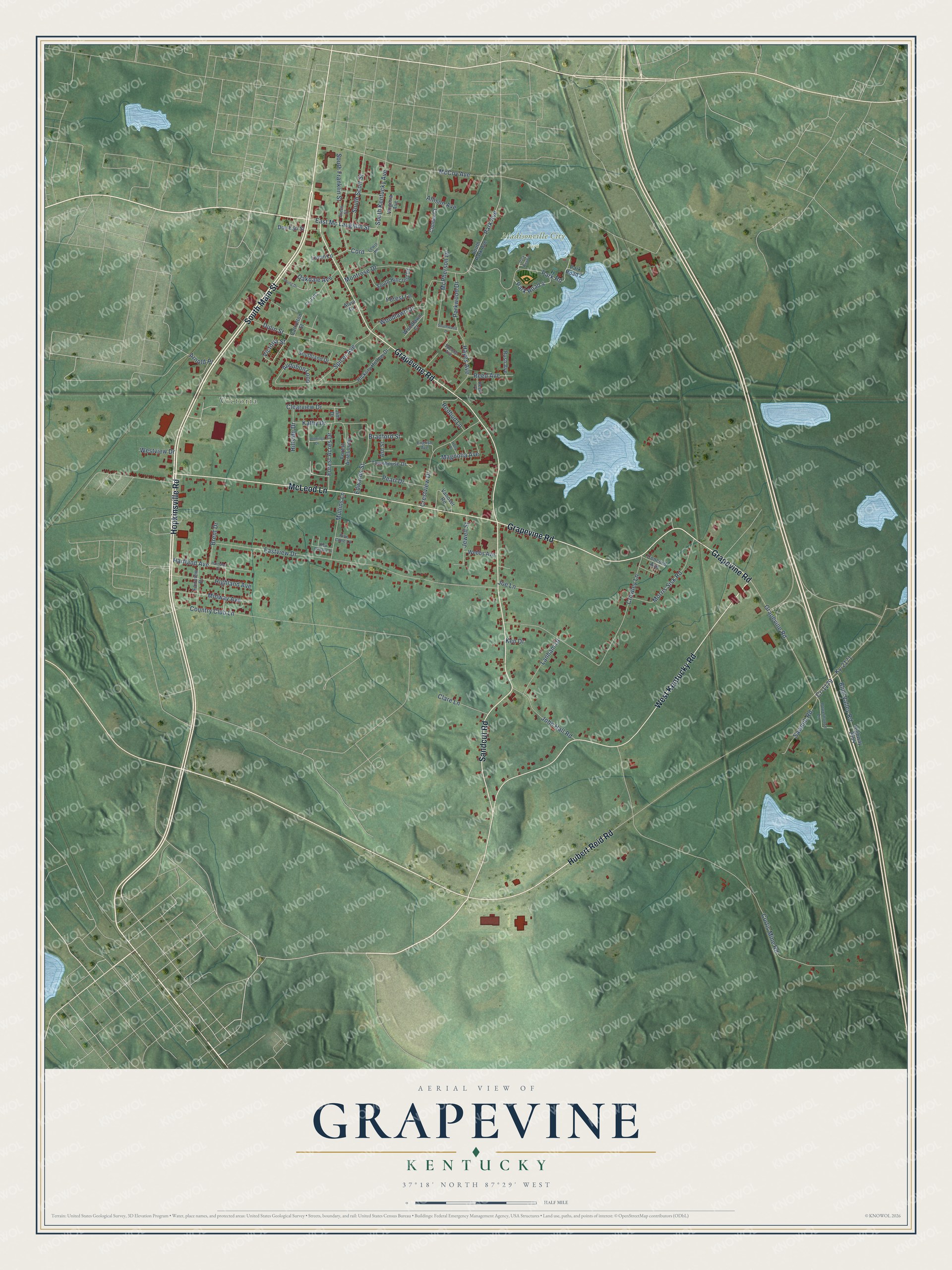
This beautifully detailed map of Grapevine, Kentucky was created in 2026 using aerial imagery combined with modern topographical, census, street and landmark data. It’s a one-of-a-kind view of Grapevine that combines accurate data with a vintage aesthetic. The map shows every building in its true location, many of the roads carry their names, and the shaded topographic relief shows the shape of the land.
Explore an aerial view of Grapevine, Kentucky
On the map you’ll find Victoria and Madisonville City Park, along with Hopkinsville Road, South Main Street, Hubert Reid Road, Grapevine Road, Sandcut Road, West Kentucky Road, McLeod Lane, South Franklin Street, Park Avenue, Spicer Avenue, and more. If you look closely you can even find your house accurately drawn in its correct location. Zoom in on the preview to look for yours.
Did You Know?
From Internet Archive: "Thirteen railroad employer* engaged in repairing a bridge at Grapevine were hemmed In by the rising water Sunday morning."
Grapevine is a community in Hopkins County.
Take a closer look at the Grapevine map
Names on this map
These names are printed on this map.
Places: Victoria and Madisonville City Park.
Streets and roads: Hopkinsville Road, South Main Street, Hubert Reid Road, Grapevine Road, Sandcut Road, West Kentucky Road, McLeod Lane, South Franklin Street, Park Avenue, Spicer Avenue, Park Road, South Kentucky Avenue.
More street names, A to Z
Allison Avenue, Alvin Drive, Arnold Place, Ash Street, Audubon Loop, Blue Valley Road, Bradford Street, Brent Drive, Carrolton Street, Clare Lane, Clearview Drive, Concord Avenue, Conner Court, Cord, Country Club Lane, Cr-1179, Crestview Drive, Crowley Lane, Cs-1193, Curtis Mine Road, Don Earl Street, Dulin Street, East Mc Laughlin Street, Eastview Drive, Edwards Street, English Avenue, Fairview Drive, Forest Acres Drive, Forest Acres Loop, Forest Lane, Hartland Avenue, Hartland Drive, Hayes Avenue, Hickory Hollow Drive, Highland Avenue, Highway 2654, Hillside Drive, Holly Drive, Jennings Drive, Jewell Street, Jim Drive, Joe Lane, John Hall Road, Jones Street, Kathy Drive, Ken Drive, Ky-2171, Lanham Drive, Lewis Lane, Lovan Lane, Magnolia Avenue, McCoy Avenue, McPherson Drive, Midway Avenue, Montrose Drive, Morris Sisk Road, Mullins Lane, New Orleans Drive, Oakdale Avenue, Park Road 2, Park Road 3, Park Road 4, Parkwood Drive, Pearl Drive, Pine Cone Lane, Powerhouse Lane, Redbud Lane, Reed Avenue, Reed Place, Rush Avenue, Sawmill Road, South Hillcrest Drive, Southland Drive, South Park Avenue, South Scott Street, Southwood Drive, Spence Avenue, Townhouse Drive, Vanover Road, Victoria Street, Virginia Avenue, Webbs Avenue, Westview Drive, Woodlawn Court, Woodlawn Drive, Young Drive.
See it on a wall
The Grapevine map as a framed print. Swipe for more.


This beautifully detailed map of Grapevine makes an attractive addition to your office, library, or den, and it can even be used to teach children the geography and history of the area. It also makes a great gift for someone who left Grapevine and still calls it home. When you’re done exploring, click here to get your copy of the Grapevine map.