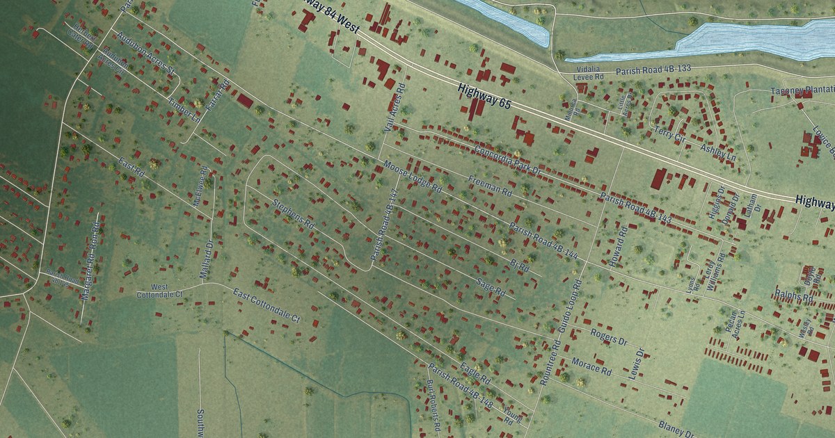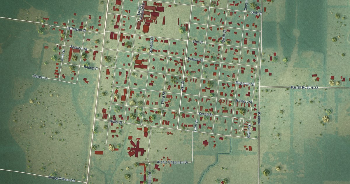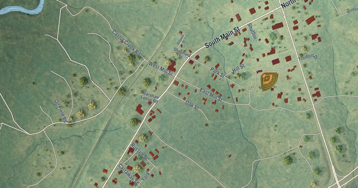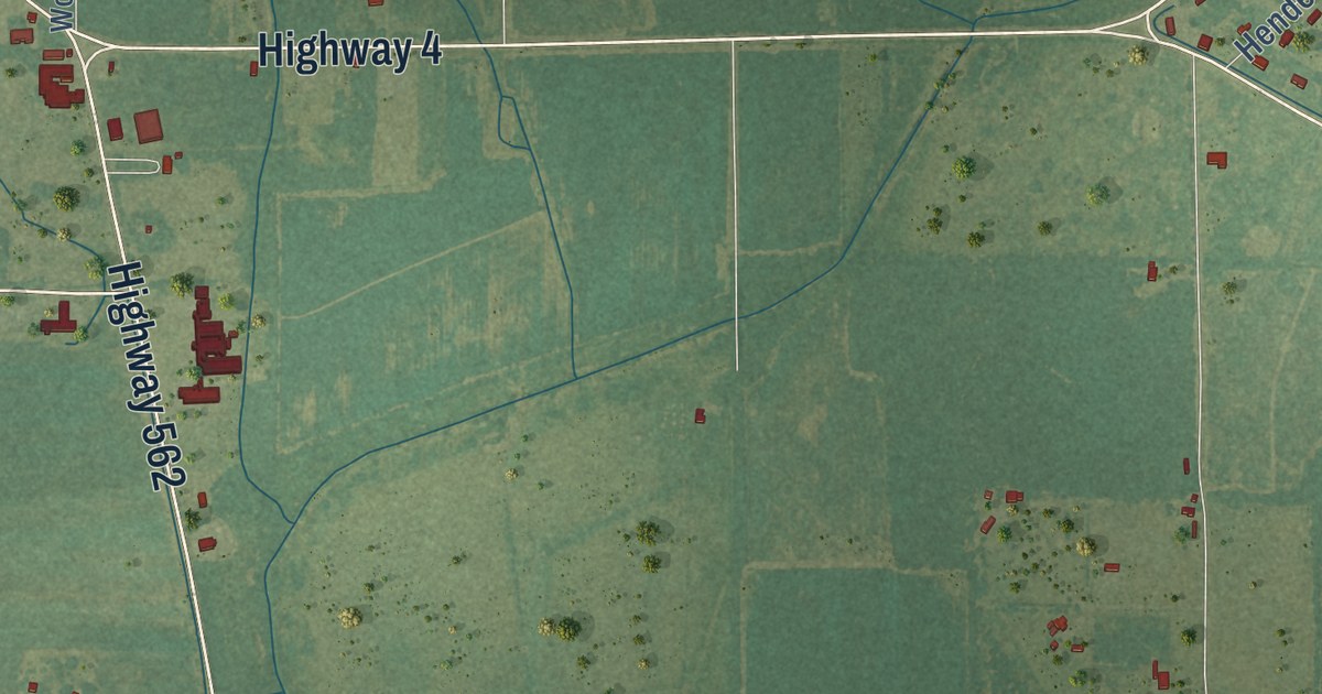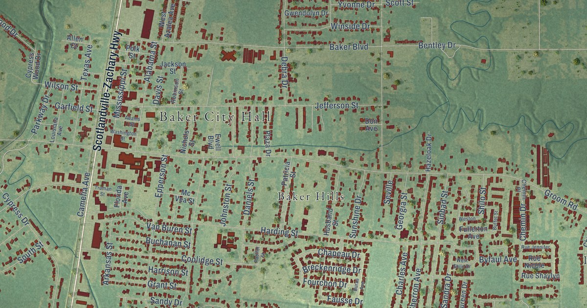
This beautifully detailed map of Baker, Louisiana was created in 2026 using aerial imagery combined with modern topographical, census, street and landmark data. It’s a one-of-a-kind view of Baker that combines accurate data with a vintage aesthetic. The map shows every building in its true location, many of the roads carry their names, and the shaded topographic relief shows the shape of the land.
Explore an aerial view of Baker, Louisiana
On the map you’ll find Baker City Hall, Baker Estates, Baker Hills, Bakerfield, Bethany Cooperative Community, Buffwood, Feliciana, North Baker Park, Parkridge, and Tristian Village, along with Harding Terrace, Parkwood Terrace, and more. If you look closely you can even find your house accurately drawn in its correct location. Zoom in on the preview to look for yours.
Did you know this piece of Baker, Louisiana history?
From the National Park Service: "Baker was established as a town in the 1880s. It began as a railroad stop deriving its name from a plantation in the area and in 1888, the post office of a nearby plantation was relocated to the new village."
Take a closer look at the Baker map
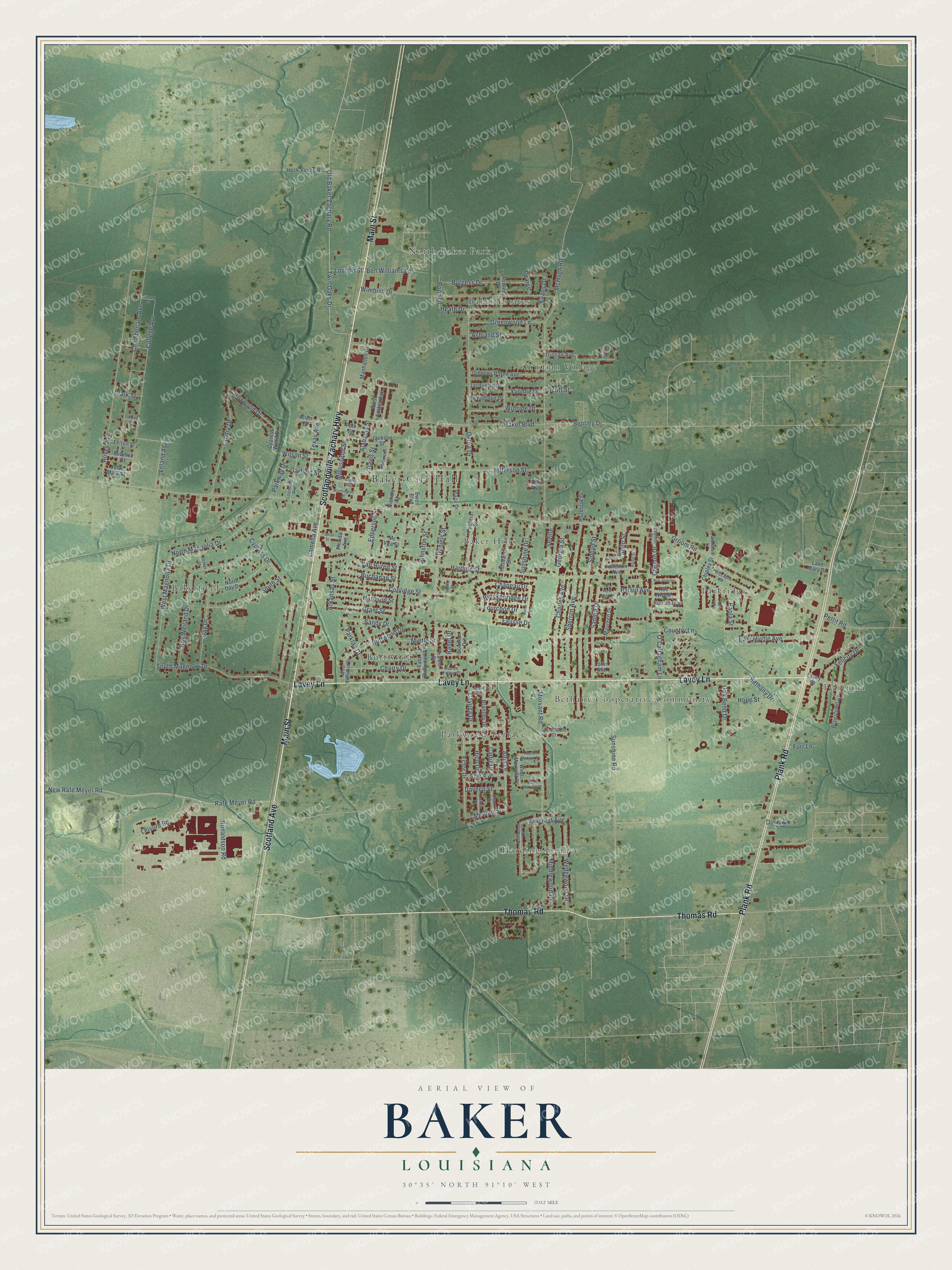
Street and place names on the Baker, Louisiana map
These names are printed on the map of Baker, Louisiana.
Places: Baker City Hall, Baker Estates, Baker Hills, Bakerfield, Bethany Cooperative Community, Buffwood, Feliciana, Harding Terrace, North Baker Park, Parkridge, Parkwood Terrace and Tristian Village.
Streets and roads: Main Street, Scotlandville-Zachary Highway, Lavey Lane, Thomas Road, Plank Road, Scotland Avenue, Chapeau Drive, Coolidge Street, North Magnolia Drive, Ector Drive, Amerest Avenue, Groom Road.
More street names, A to Z
Adair Avenue, Adams Street, Alabama Street, Alba Drive, Allen Court, Arkansas Street, Ashland Street, Azie Avenue, Baker Boulevard, Balm Street, Bentley Drive, Ben Williams Lane, Bethany Drive, Biscayne Street, Blairstown Drive, Bodo Drive, Boxwood Drive, Brant Drive, Brantley Drive, Breckenridge Drive, Buchanan Street, Buffet Street, Buffwood Drive, Buras Avenue, Burgess Drive, Byfaul Avenue, Cadiz Drive, Camelia Avenue, Cayuga Drive, Center Street, Chaleur Drive, Chamberlain Avenue, Charles Avenue, Charry Drive, Chemin Drive, Chemin Place, Chipley Street, Clark Street, College Avenue, Country Lane, Cypress Drive, Cypress Wood Drive, Daniels Street, Daveco Street, Davis Drive, Davis Street, Day Drive, Debra Drive, Don Avenue, Douceur Drive, Driftwood Drive, East Buffwood Drive, East Myrtle Avenue, Epperson Street, Evans Drive, Ewell Boulevard, Fausse Drive, Felicity Drive, Felton Street, Florida Avenue, Fourchon Drive, Fullerton Avenue, Furr Lane, Garfield Street, Georgia Street, Gibbens Payne Avenue, Grant Street, Greenwood Lane, Gwendolyn Drive, Harding Street, Harrison Street, Hazeloak Drive, Heath Drive, Heck Young Road, Hico Drive, Hope Street, Hovey Avenue, Husband Street, Jackson Street, Jacquelyn Drive, Jefferson Street, John Mark Street, Johnston Street, Lake Mary Drive, Landry Drive, Leisure Road, Leland Avenue, Loflin Avenue, London Drive, Loudon Street, Louisiana Avenue, Manhatten Drive, Maureen Drive, McHugh Road, Mc Vea Street, Melban Street, Middlewood Drive, Mississippi Street, Mitchell Street, Morvant Road, Myrtle Street, New Rafe Meyer Road, Nichols Street, North Day Drive, North Morvant Place, O'Callagham Lane, Oak Bend Drive, Old Baker Zachary Road, Paola Street, Parklan Drive, Parkway Drive, Patricia Street, Paulfor Street, Pearce, Perkins Street, Pettit Road, Plaza Drive, Polk Street, Priestly Street, Rabel Drive, Rafe Meyer Road, Ray Weiland Drive, Robinson Street, Ronaldson Road, Rue de Valeur Place, Rue Jennifer, Rue Nicole, Rue Shaylyn, Sandra Drive, Sandy Drive, Scott Street, Seville, Shere Drive, Sherron Avenue, Shilo Street, Sinbad Street, South Magnolia Drive, South Morvant Place, South Street, Sprucewood Court, Sunshine Drive, Sunshine Road, Texas Avenue, Tristian Avenue, Trotter Drive, Truman Street, Twin Oaks Drive, Van Buren Street, Washington Street, Wedgewood Drive, West Azalea Avenue, West Buffwood Drive, West Magnolia Drive, West Morvant Place, Weston, West Shilo Drive, Wilson Street, Wimbish Drive, Winside Drive, Woodward Drive, Yvonne Drive.
See the Baker, Louisiana map on a wall
The Baker map as an 18 x 24 inch print in a black frame.

This beautifully detailed map of Baker makes an attractive addition to your office, library, or den, and it can even be used to teach children the geography and history of the area. It also makes a great gift for anyone with Baker roots. When you’re done exploring, click here to get your copy of the Baker map.