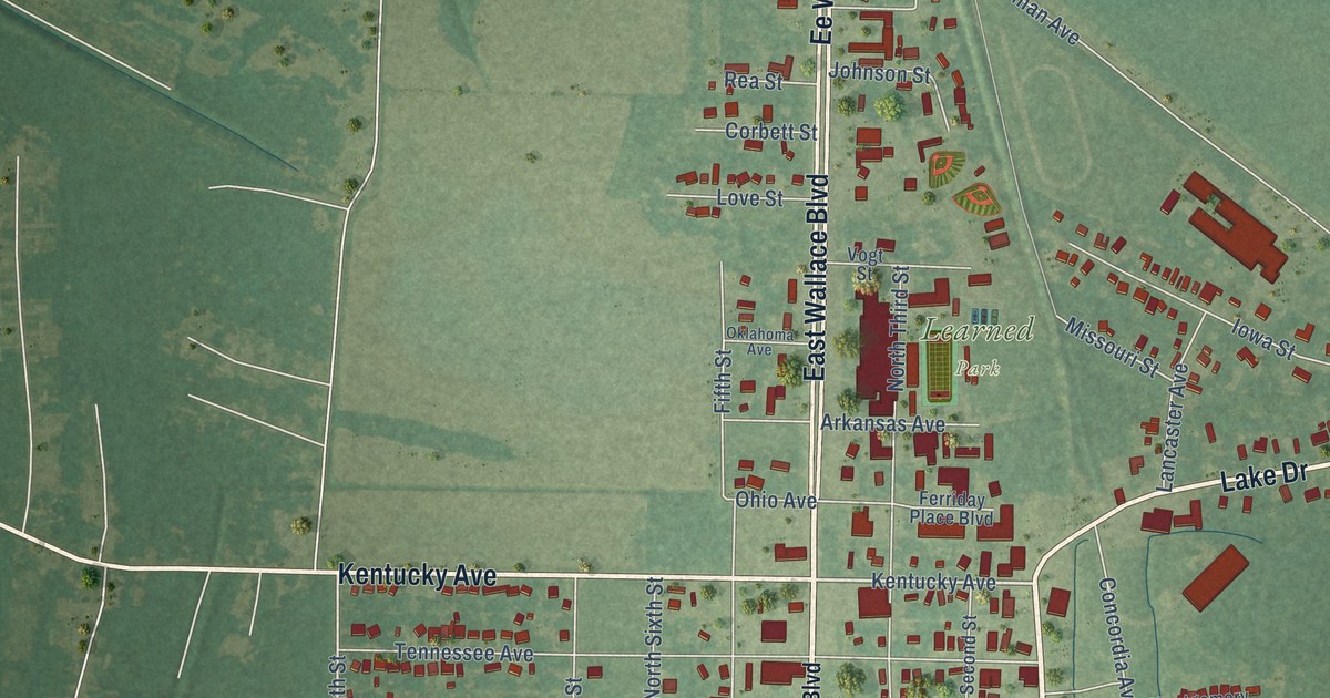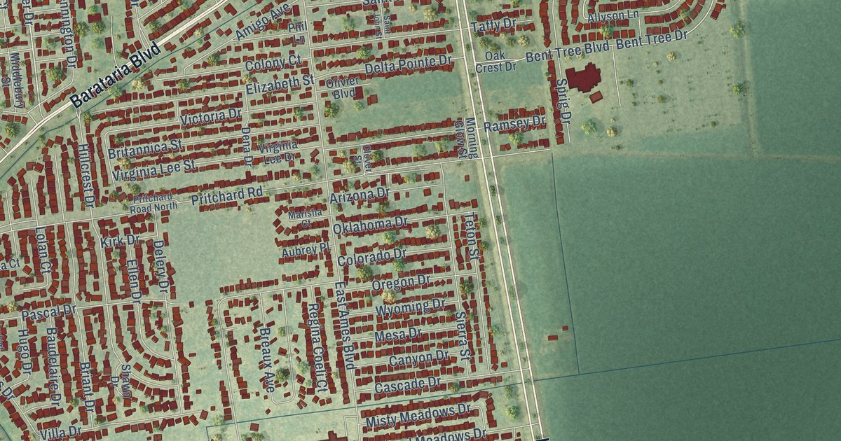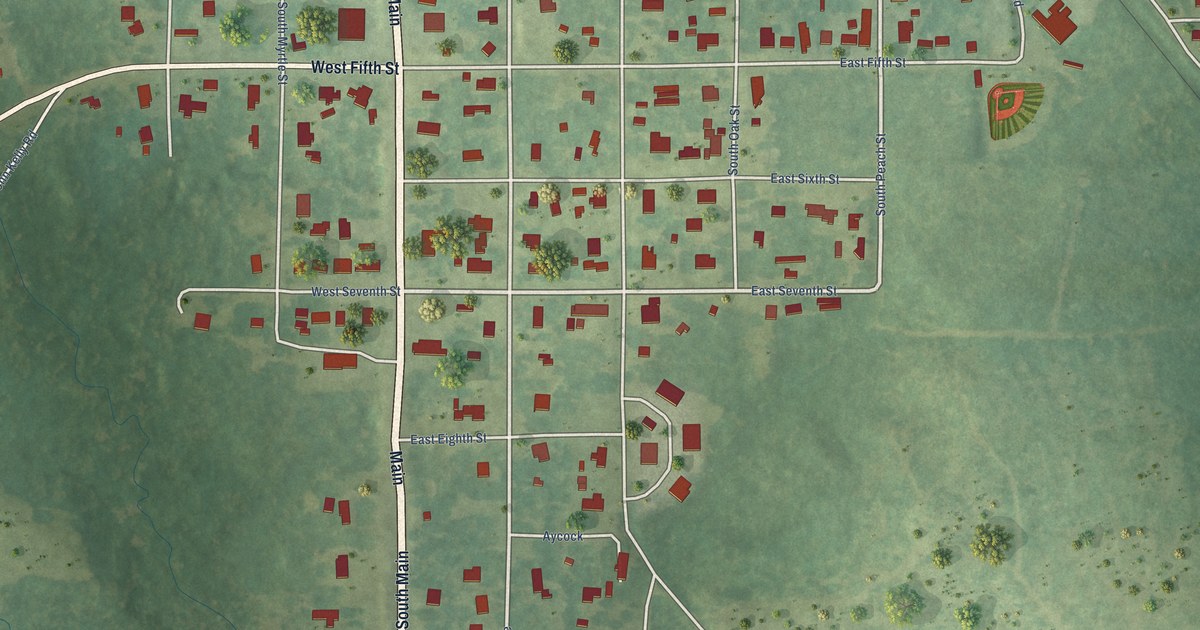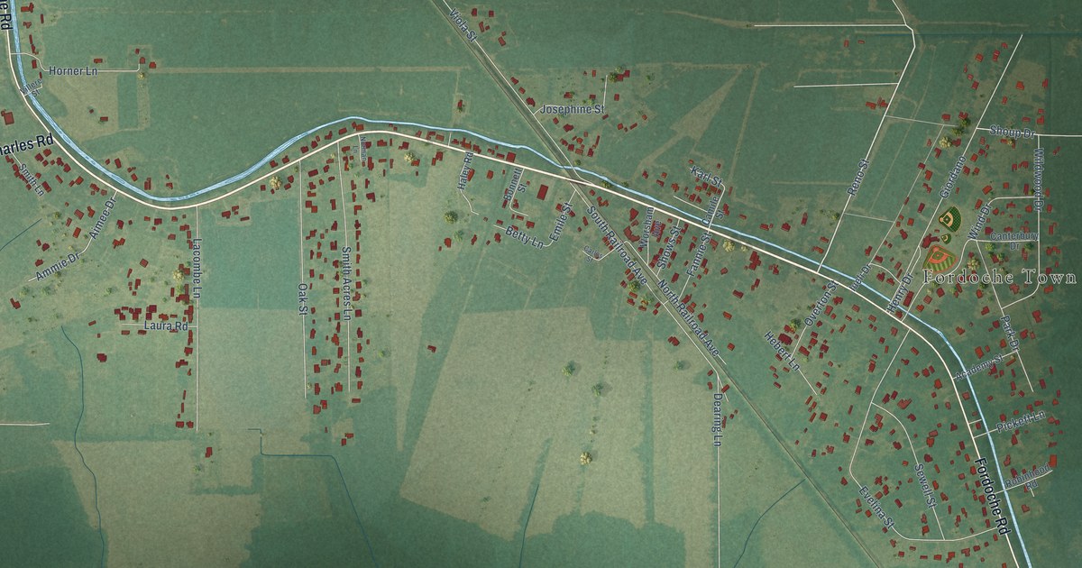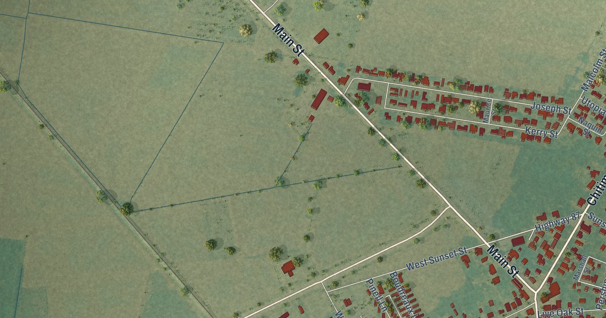
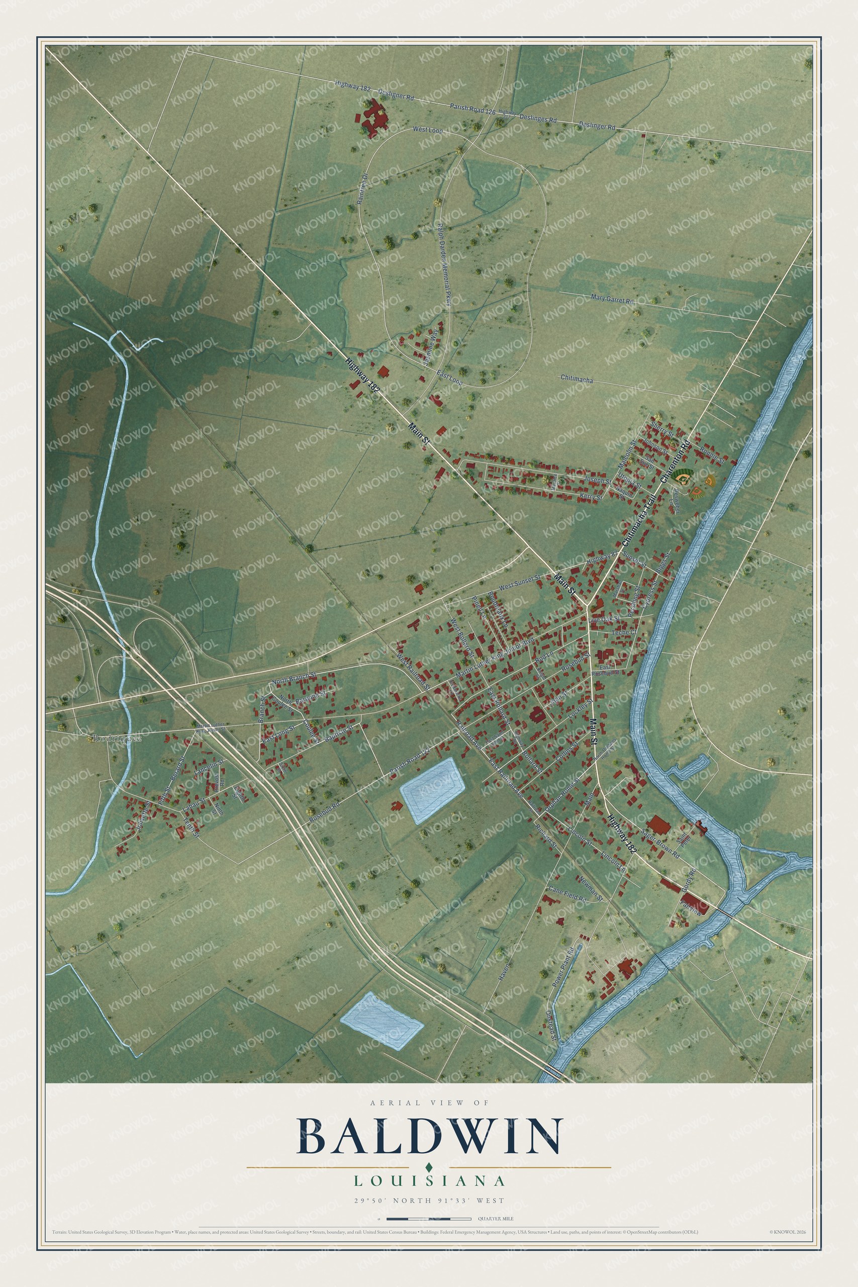
This beautifully detailed map of Baldwin, Louisiana was created in 2026 using aerial imagery combined with modern topographical, census, street and landmark data. It's a modern aerial view of Baldwin in St. Mary Parish, Louisiana, that combines modern data with a vintage aesthetic. The roads feature printed names, and if you look closely you can find your exact house accurately shown in its correct location.
Explore an aerial view of Baldwin, Louisiana
On this map you'll find Rodriquez, Highway 182, Chitimacha Trail, Charenton Road, Main Street, North Branch Street, Coulee Street, Rosebud Road, Sager-Brown Road, East Long Street, Highway 87, Orphan Home Street, and more. Each red shape is a building, so zoom in on the preview and look for yours.
Baldwin has a story worth telling. The Century Historical Association puts it this way: "Baldwin, a village in the western part of St. Mary parish, is at the junction of the main and a branch line of the Southern Pacific R. R., about 6 miles northwest of Franklin, the parish seat and nearest banking town."
Baldwin is a town in St. Mary Parish. The Census Bureau counted 1,762 people here in 2020.
Take a closer look at the Baldwin map
Names on this map
These names are printed on this map.
Places: Rodriquez.
Streets and roads: Highway 182, Chitimacha Trail, Charenton Road, Main Street, North Branch Street, Coulee Street, Rosebud Road, Sager-Brown Road, East Long Street, Highway 87, Orphan Home Street, Martin Luther King Junior Boulevard.
More street names, A to Z
Baptiste Street, Baronne Street, Berard Street, Biggs Street, Bollard Street, Boudreaux Lane, Branch Street, Cane Field Road, Chitimacha, Collins Street, Cypress Street, Desligner Road, Deslinger Road, Deslinges Road, East Bollard Street, East Loop, East Railroad Avenue, East Rosebud Street, East Saint John Street, Eighth Street, Fairview, Fifth Street, Fredericks Lane, Gordy Road, Haven, Highway 83, Highway 317, Jasmine Way, Johnson Street, John Street, Jolivette Street, Joseph Street, Kerry Street, Knight Street, Labau Street, Lancelin Street, Lincoln Lane, Lincoln Street, Live Oak Street, Lockley Street, Main, Malcolm Street, Marshall Street, Martin Luther King Junior Street, Mary Garret Road, Maurice Street, Naquin Street, Newman Street, Ninth Street, North Coulee Street, North Orphans Home Street, Onstead Street, Parish Road 122, Parish Road 126, Pershing Street, Pinell Lane, Power Plant Road, Prevost Road, Railroad Avenue, Railroad Street, Raintree Drive, Ralph Darden Memorial Parkway, Resweber Lane, Richard Street, Rod Lane, Ronnie Street, Rosebud Street, Saint Peter, San Sue Street, Sherry Street, Sixth Street, Sunset Street, Teche Court, Tenth Street, Utopia Street, West Bollard Street, West Loop, West Railroad Street, West Sunset Street.
Created by KNOWOL in 2026. The buildings are small red shapes, the roads carry their printed names, and shaded relief shows the shape of the land. The title panel reads "AERIAL VIEW OF BALDWIN LOUISIANA" with 29°50' NORTH 91°33' WEST.
It looks right in a kitchen, an office or a den, and it's a gift for anyone who grew up in Baldwin or moved away. Open the preview and find your street. See sizes and frames for the Baldwin map.