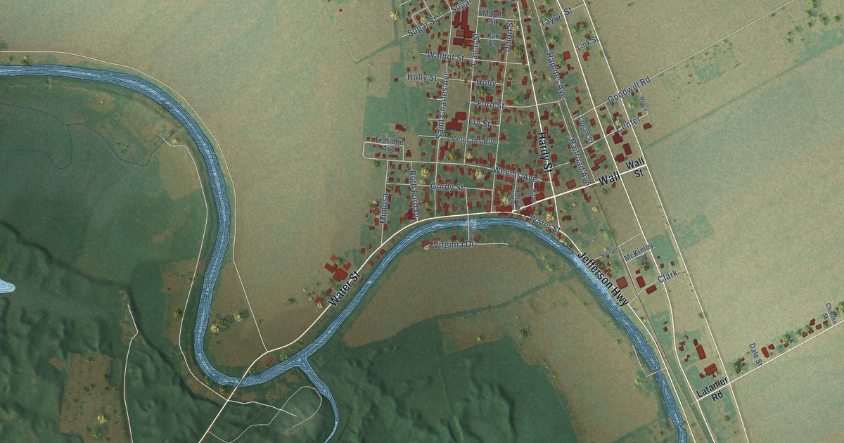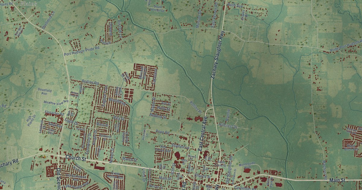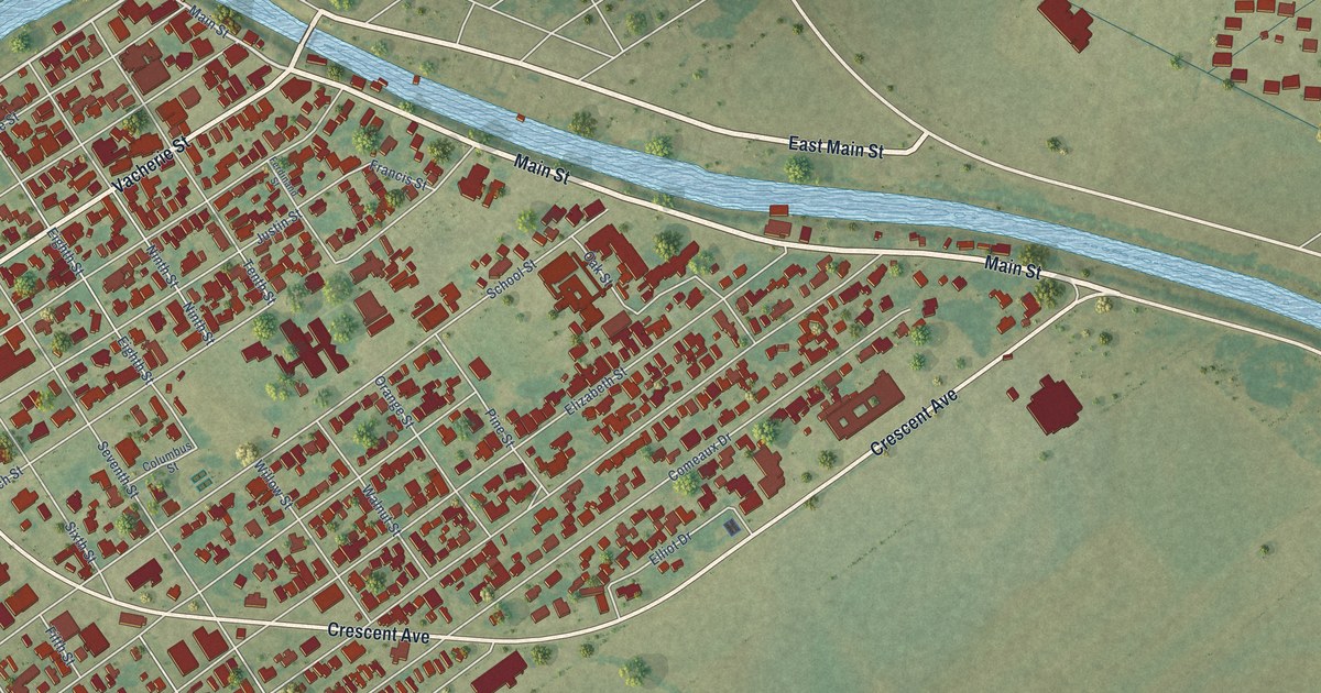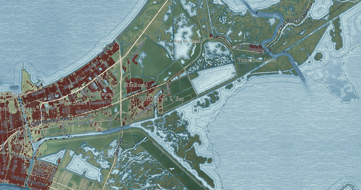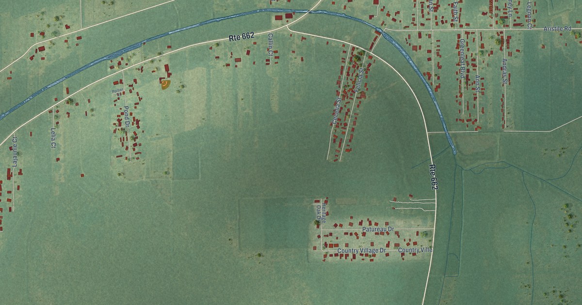
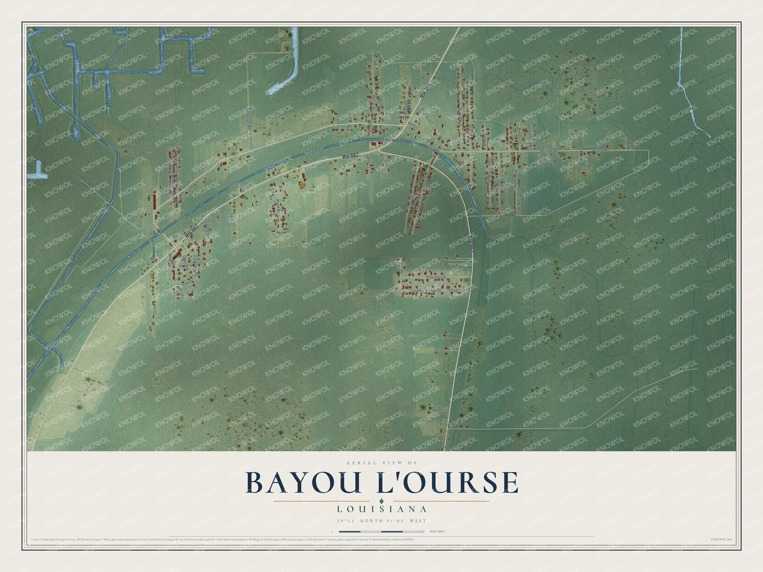
This beautifully detailed map of Bayou L'Ourse, Louisiana was created in 2026 using aerial imagery combined with modern topographical, census, street and landmark data. It's a modern aerial view of Bayou L'Ourse in Assumption Parish, Louisiana, that combines modern data with a vintage aesthetic. The roads feature printed names, and if you look closely you can find your exact house accurately shown in its correct location.
Explore an aerial view of Bayou L'Ourse, Louisiana
On this map you'll find Flamingo Road, Lark Street, Aristile Road, Aristle Road, Vivian Street, Elaine Street, Murial Street, Cecelia Street, Felicia Street, Patureau Drive, Country Village Drive, Country Ville, and more. Each red shape is a building, so zoom in on the preview and look for yours.
Every town has a first chapter, and Bayou L'Ourse is no exception. Bayou L'Ourse flows in the ancient main channel of the Mississippi River's Teche delta, which the river began building about 5,800 years ago. An earth mound stood on the bayou's north bank, and its pottery showed that people of the Coles Creek and Plaquemine cultures lived there. That's from the U.S. Army Corps of Engineers.
Bayou L'Ourse is a community in Assumption Parish. The Census Bureau counted 1,806 people here in 2020.
Take a closer look at the Bayou L'Ourse map
Names on this map
These names are printed on this map.
Streets and roads: Route 662, Route 398, Flamingo Road, Lark Street, Aristile Road, Aristle Road, Vivian Street, Elaine Street, Murial Street, Cecelia Street, Felicia Street, Patureau Drive.
More street names, A to Z
Andras Street, Ann Street, Bayouside Estates Highway 663, Bayou Side Ests, Callin Court, Country Village Drive, Country Ville, Dixie Court, Faith Street, Giroir Court, Greenleaf Boulevard, Griffin Court, Heritage Oak Drive, Honey Lane, Jamie Court, Katie Court, Lajaunie Court, Lark Drive, Legnon Court, Lelia Court, Maffet Court, Pond Drive, Portier Court, Quail Run, Rayne Court, Siracusa Court, Stacy Street, Starling Circle, Union Oil Road, Velma Court.
See it on a wall
The Bayou L'Ourse map as a framed print. Swipe for more.


Created by KNOWOL in 2026. The buildings are small red shapes, the roads carry their printed names, and shaded relief shows the shape of the land. The title panel reads "AERIAL VIEW OF BAYOU L'OURSE, LOUISIANA" with 29°43' NORTH 91°05' WEST.
Hang it in the hallway, the office or the cabin, or give it to someone who left Bayou L'Ourse and still calls it home. Open the preview and look for a street you know. See sizes and frames for the Bayou L’Ourse map.