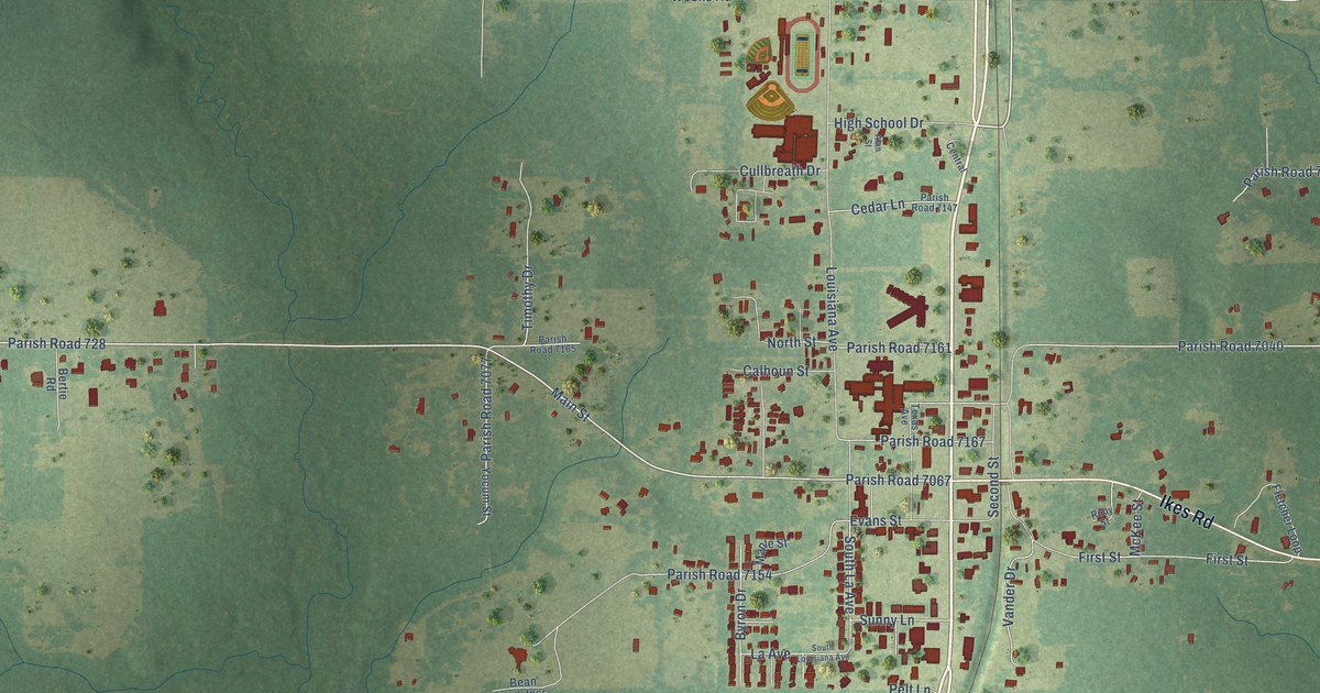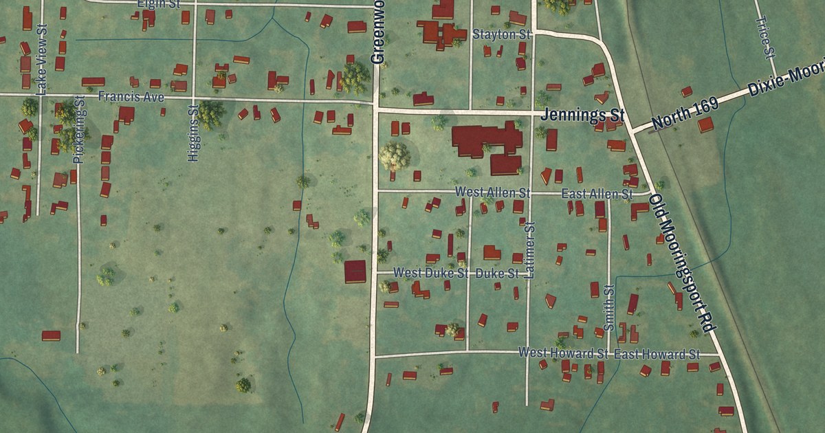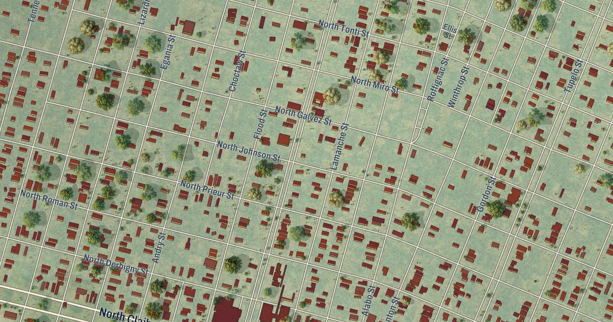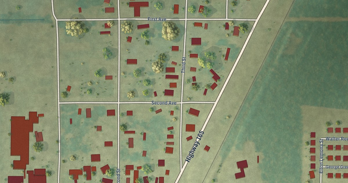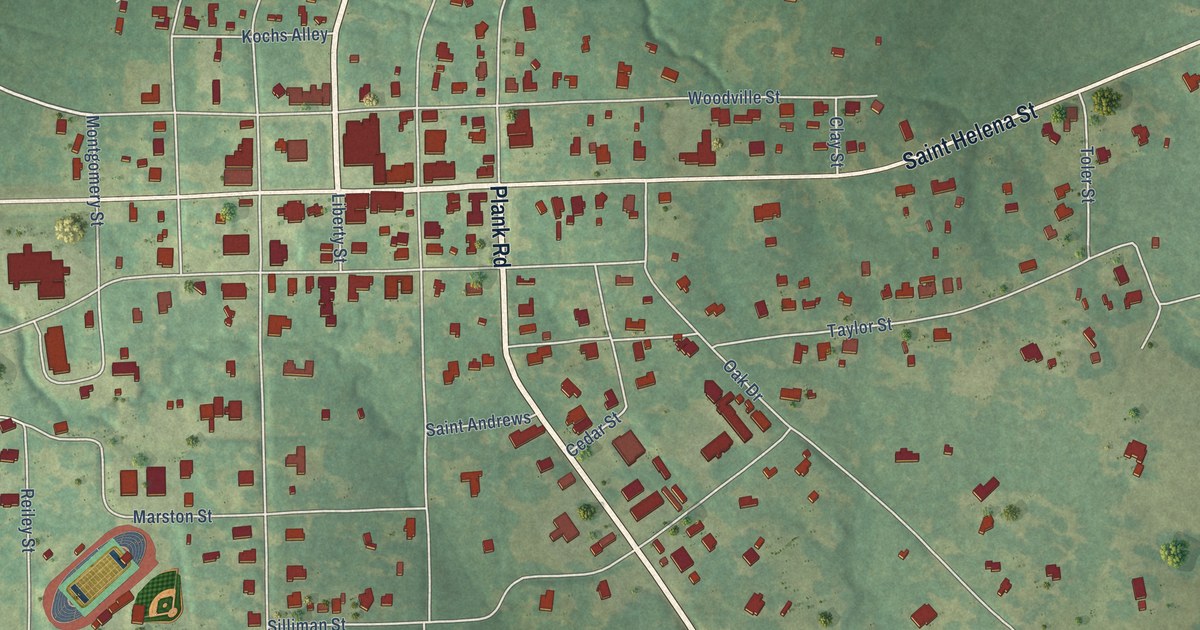
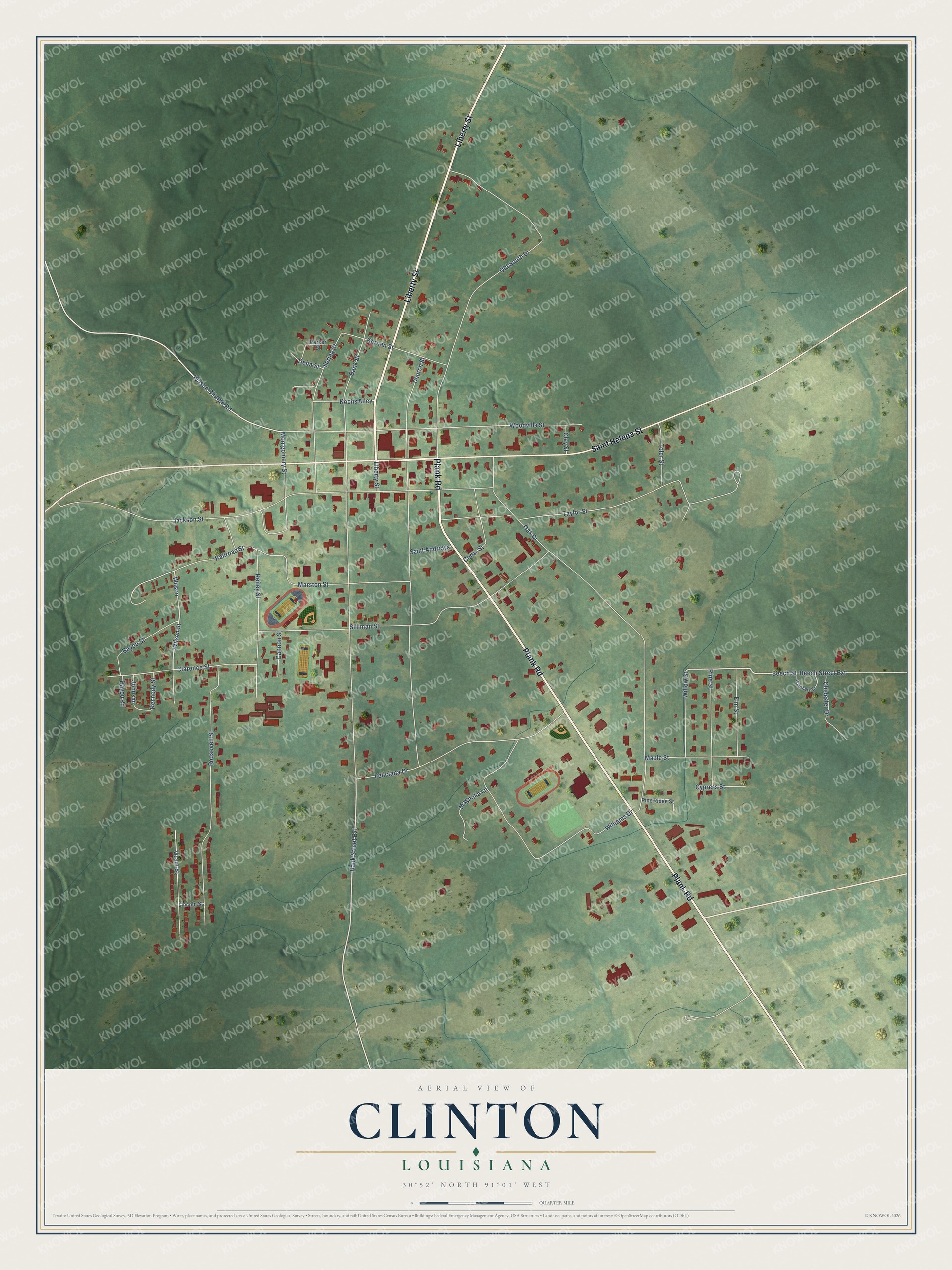
This beautifully detailed map of Clinton, Louisiana was created in 2026 using aerial imagery combined with modern topographical, census, street and landmark data. It's a modern aerial view of Clinton in East Feliciana Parish, Louisiana, that combines modern data with a vintage aesthetic. The roads feature printed names, and if you look closely you can find your exact house accurately shown in its correct location.
Explore an aerial view of Clinton, Louisiana
On this map you'll find Plank Road, Liberty Street, Saint Helena Street, Wilson Street, Wilson, Bank Street Extension, Beech Street, Wilson Clinton Road, Grant Street, Bank Street, Oak Drive, Church Street, and more. Each red shape is a building, so zoom in on the preview and look for yours.
Every town has a first chapter, and Clinton is no exception. The National Park Service puts it this way: "The 1903 Clinton High School is locally significant in the area of education because its opening was a milestone in the history of public education in the East Feliciana Parish town of Clinton."
Clinton is a town in East Feliciana Parish. The Census Bureau counted 1,340 people here in 2020.
Take a closer look at the Clinton map
Names on this map
These names are printed on this map.
Streets and roads: Plank Road, Liberty Street, Saint Helena Street, Wilson Street, Wilson, Bank Street Extension, Beech Street, Wilson Clinton Road, Grant Street, Bank Street, Oak Drive, Church Street.
More street names, A to Z
Bayou Road, Bayou Street, Beech Street Extension, Cannon Street, Cedar Street, Chidester Drive, Clarence Street, Clay Street, Cypress Street, Delia Street, Elm Street, Feliciana Drive, Jackson Street, Johnson, Kennedy Street, Kernan Street, Kochs Alley, Lincoln Street, Magnolia Lane, Maple Street, Marston Street, Montgomery Street, Old South Drive, Parker Street, Pine Ridge Street, Pine Street, Railroad Street, Reiley Street, Roosevelt Street, Saint Andrews, Silliman Street, Spring Street, Taylor Street, Toler Street, Weathers Drive, Williams Drive, Willow Street, Woodville Street.
Created by KNOWOL in 2026. The buildings are small red shapes, the roads carry their printed names, and shaded relief shows the shape of the land. The title panel reads "AERIAL VIEW OF CLINTON LOUISIANA" with 30°52' NORTH 91°01' WEST.
Hang it in the hallway, the office or the cabin, or give it to someone who left Clinton and still calls it home. Open the preview and look for a street you know. See sizes and frames for the Clinton map.