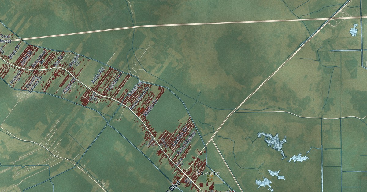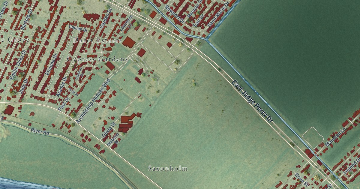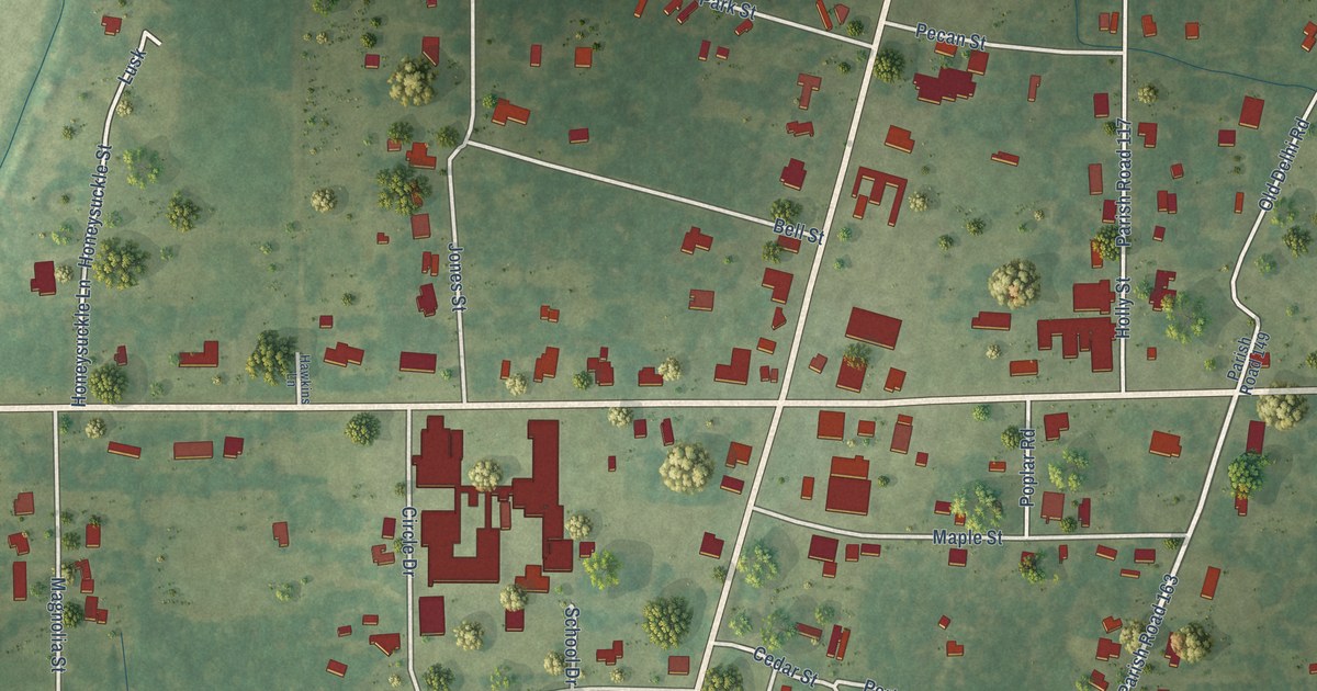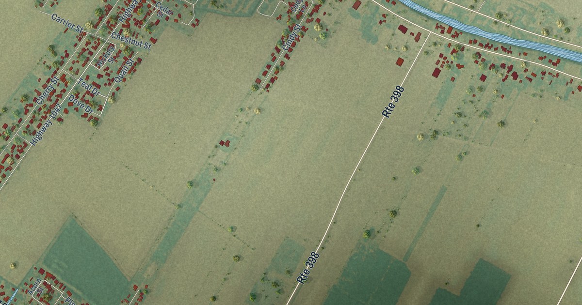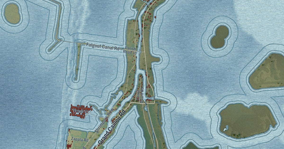
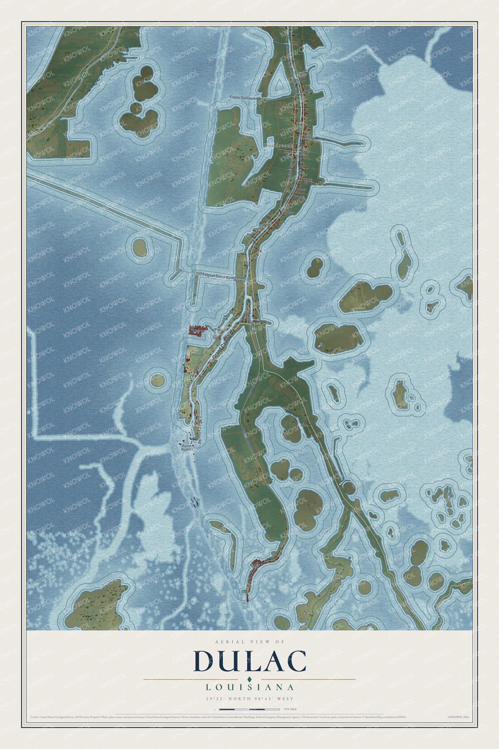
This beautifully detailed map of Dulac, Louisiana was created in 2026 using aerial imagery combined with modern topographical, census, street and landmark data. It's a modern aerial view of Dulac in Terrebonne Parish, Louisiana, that combines modern data with a vintage aesthetic. The roads feature printed names, and if you look closely you can find your exact house accurately shown in its correct location.
Explore an aerial view of Dulac, Louisiana
On this map you'll find Boudreaux, Grand Caillou Road, Falgout Canal Road, Shrimpers Road, Shrimpers Row, Four Point Road, Parish Road 67, Blacktop Side-B Grande Caillou, Parish Road 61, Goatfield Road, Bayou Guillaume Road, Trout Court, and more. Each red shape is a building, so zoom in on the preview and look for yours.
Here is a piece of Dulac history. For the first half of the 1900s, Houma children around Dulac were kept out of the public schools, so in 1932 Methodist missionaries began teaching them at what became the Dulac Community Center. Louise Billiot, who started kindergarten there, said the center was her family's lifesaver. That's from the WWNO public radio station.
Dulac is a community in Terrebonne Parish. The Census Bureau counted 1,241 people here in 2020.
Take a closer look at the Dulac map
Names on this map
These names are printed on this map.
Places: Boudreaux.
Streets and roads: Grand Caillou Road, Falgout Canal Road, Shrimpers Road, Shrimpers Row, Four Point Road, Parish Road 67, Blacktop Side-B Grande Caillou, Parish Road 61, Goatfield Road, Bayou Guillaume Road, Trout Court, Parish Road 63.
More street names, A to Z
Addie Court, Avet Street, Coast Guard Road, Georgi Girl Drive, Indigo Street, Joe Court, Nick White Lane, Orange Street, Parish Road 10, Pier Street, Rose Street, Scott Street, Zapata Road.
See it on a wall
The Dulac map as a framed print. Swipe for more.


Created by KNOWOL in 2026. The buildings are small red shapes, the roads carry their printed names, and shaded relief shows the shape of the land. The title panel reads "AERIAL VIEW OF DULAC, LOUISIANA" with 29°22' NORTH 90°43' WEST.
It suits a den, a classroom or a front hall, and it makes a gift for anyone with Dulac roots. Open the preview and find the block you know. See sizes and frames for the Dulac map.