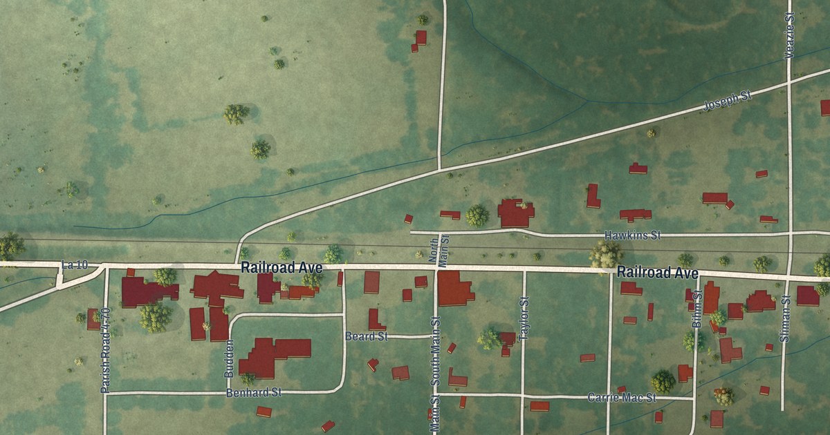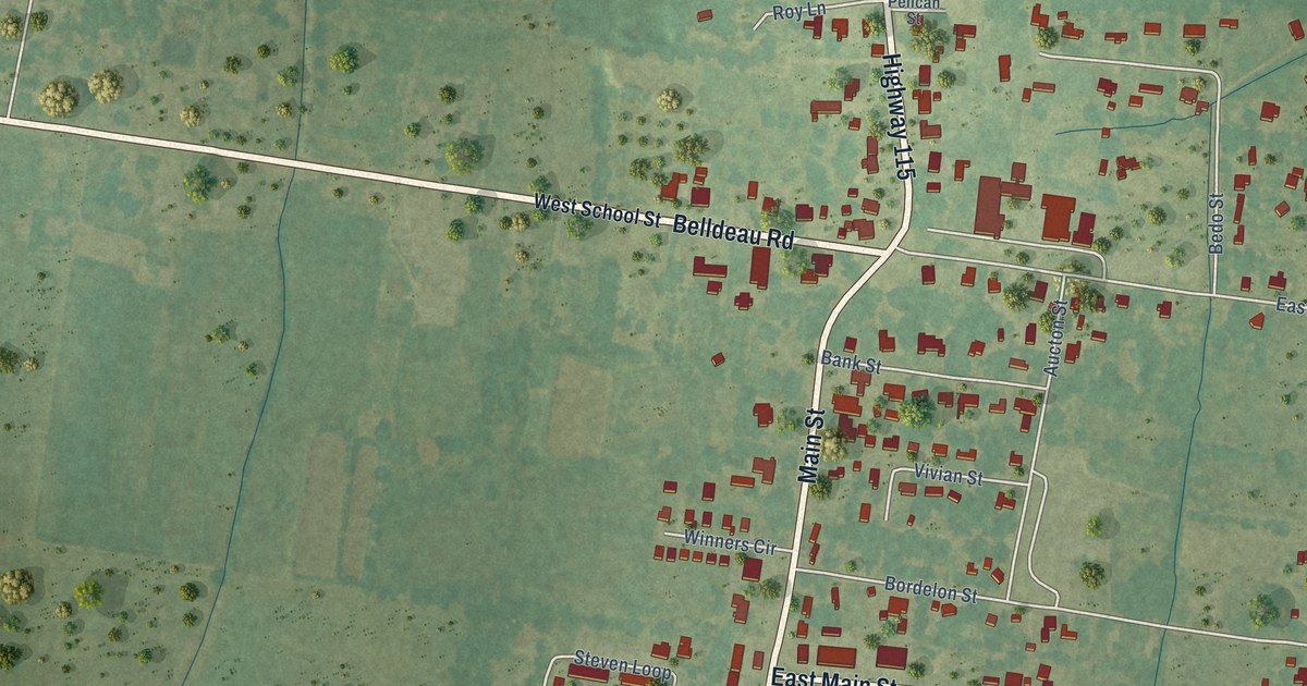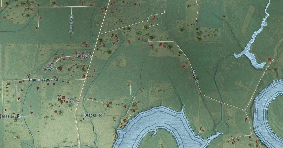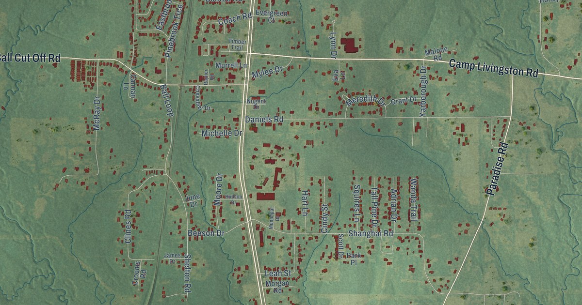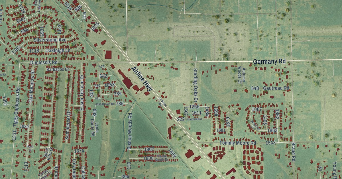
This beautifully detailed map of Duplessis, Louisiana was created in 2026 using aerial imagery combined with modern topographical, census, street and landmark data. It’s a one-of-a-kind view of Duplessis that combines accurate data with a vintage aesthetic. The map shows every building in its true location, many of the roads carry their names, and the shaded topographic relief shows the shape of the land.
Explore an aerial view of Duplessis, Louisiana
On the map you’ll find Prairieville, along with Airline Highway, Highway 621, Old Jefferson Highway, Germany Road, Post Office Road, Oakleigh Lane, Babin Road, Duplessis Road, Seven Oaks Avenue, Bishop Woods Road, Tiggy Duplessis Road, and more. If you look closely you can even find your house accurately drawn in its correct location. Zoom in on the preview to look for yours.
Did You Know?
From the 1923 Louisiana Historical Quarterly: "No. 10711. pp. 96994-96997. rey ea nuns: Madame Duplessis, de Quemenes called Marie des Anges, ‘treasurer of the community of the Ursuline Ladies."
Duplessis is a community in Ascension Parish.
Take a closer look at the Duplessis map
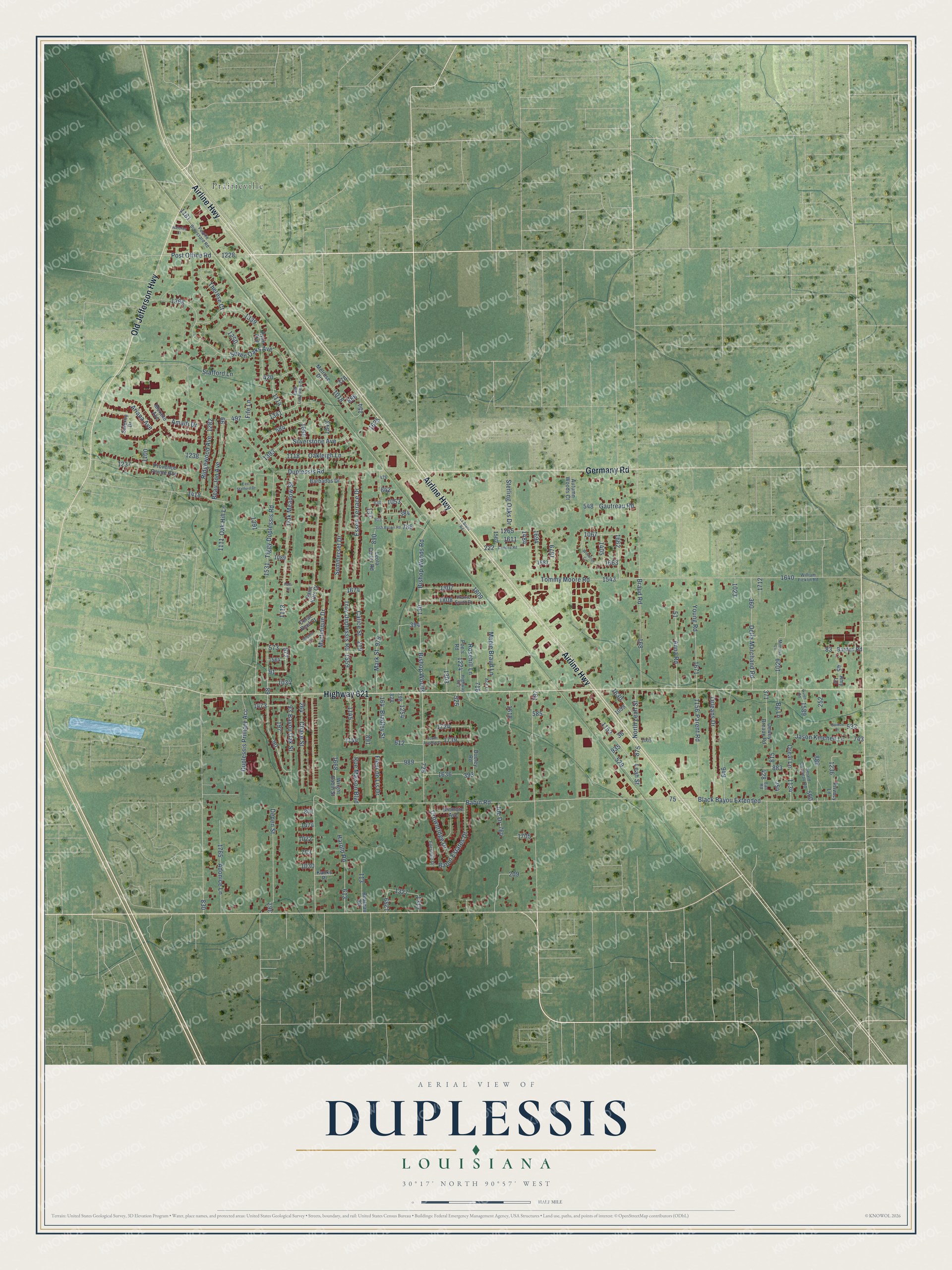
Names on this map
These names are printed on this map.
Places: Prairieville.
Streets and roads: Airline Highway, Highway 621, Old Jefferson Highway, Germany Road, Post Office Road, Oakleigh Lane, Babin Road, Duplessis Road, Seven Oaks Avenue, Bishop Woods Road, Tiggy Duplessis Road, Bishop Woods.
More street names, A to Z
Ace Lane, Adonice Lane, Amalfi Drive, Amy Lane, Anna Road, Ariana Avenue, Autumn Woods Court, Babin Estates Drive, Barbados Drive, Barden Road, Bayou Oak Street, Beateau Road, Beau Jon Avenue, Bg Lane, Biltmore Avenue, Black Bayou Extended, Bradley Street, Braud Road, Calice Street, Cambre Road, Chase Street, Coral Reef Court, Crownridge Drive, Della Marchand Road, Depen Street, Dewey Breaux Road, Dolphin Court, Dooley Road, Duplessis Primary Acc, Earl Road, East Lakeview Drive, East Stafford Drive, Ellendale Drive, Essen Terrace Drive, Fife Lane, Fleur de Lis Drive, Gaidon Drive, Gautreau Road, Gerald Gautreau Road, Harold Road, Jason Kinchen Lane, Joe Drive, Josh Brown Road, Kanks Place, Leah Street, Le Blanc Road, Leola Carter Road, Maple Braud Lane, Mark Street, Martinique Drive, Melrose Drive, Mimosa Lane, Murano Avenue, Natchez Court, North Leah Street, Oak Hill Lane, Oak Meadow Street, Oreal Lane, Orleans Drive, Parent Road, Patti Street, Pearlie Broussard Road, Poe's Road, Prairie South Drive, Privacy Lane, Provence Pointe Avenue, Ridgewood Avenue, Rosehill Lane, Rue Maison Boulevard, Ryan Avenue, Saint Kitts Court, Salerno Drive, Silverstone Avenue, South Angelle Court, Stafford Lane, Sterling Oaks Drive, Summerset Drive, Therese Court, Tommy Moore Road, Troy Duplessis Road, Vivien Road, William Ficklin Road, Woodrun Circle, Wright Babin Street, Young Road.
See it on a wall
The Duplessis map as a framed print. Swipe for more.


This beautifully detailed map of Duplessis makes an attractive addition to your office, library, or den, and it can even be used to teach children the geography and history of the area. It also makes a great gift for anyone with Duplessis roots. When you’re done exploring, click here to get your copy of the Duplessis map.