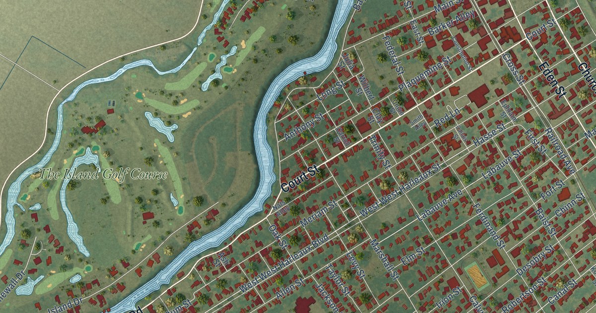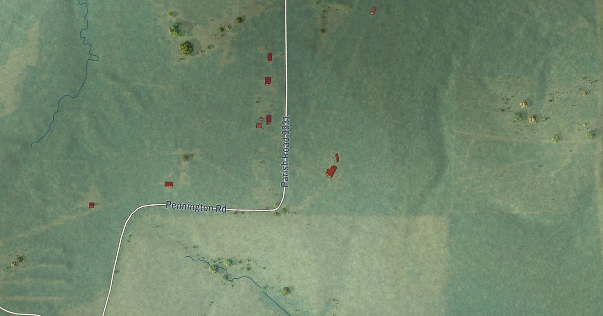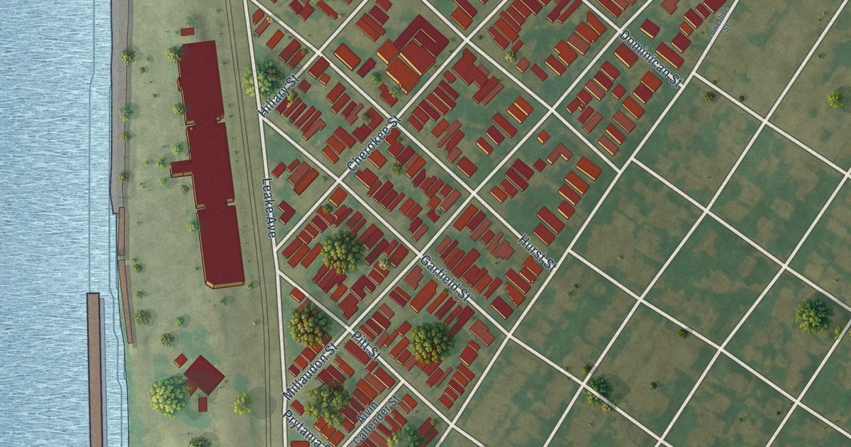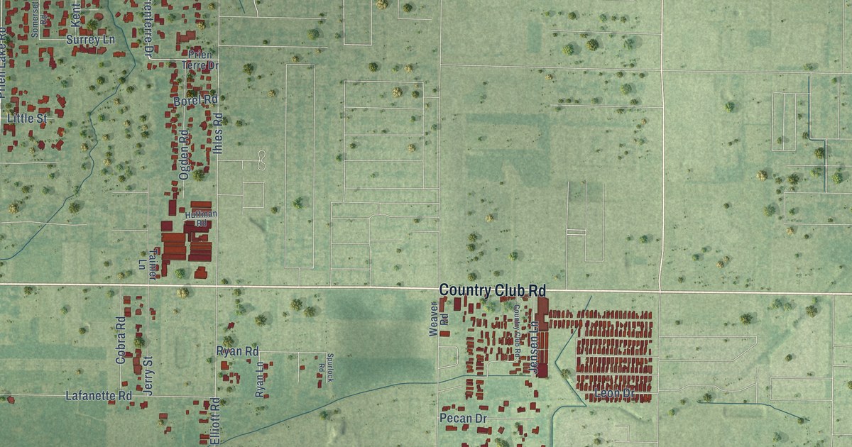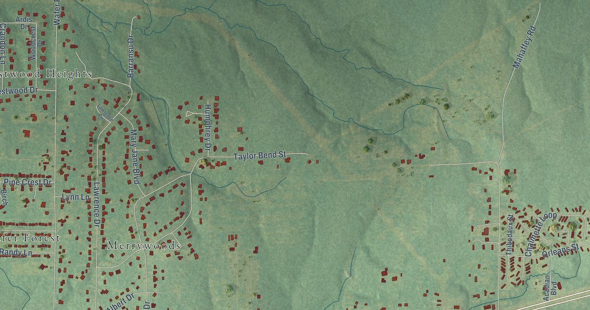
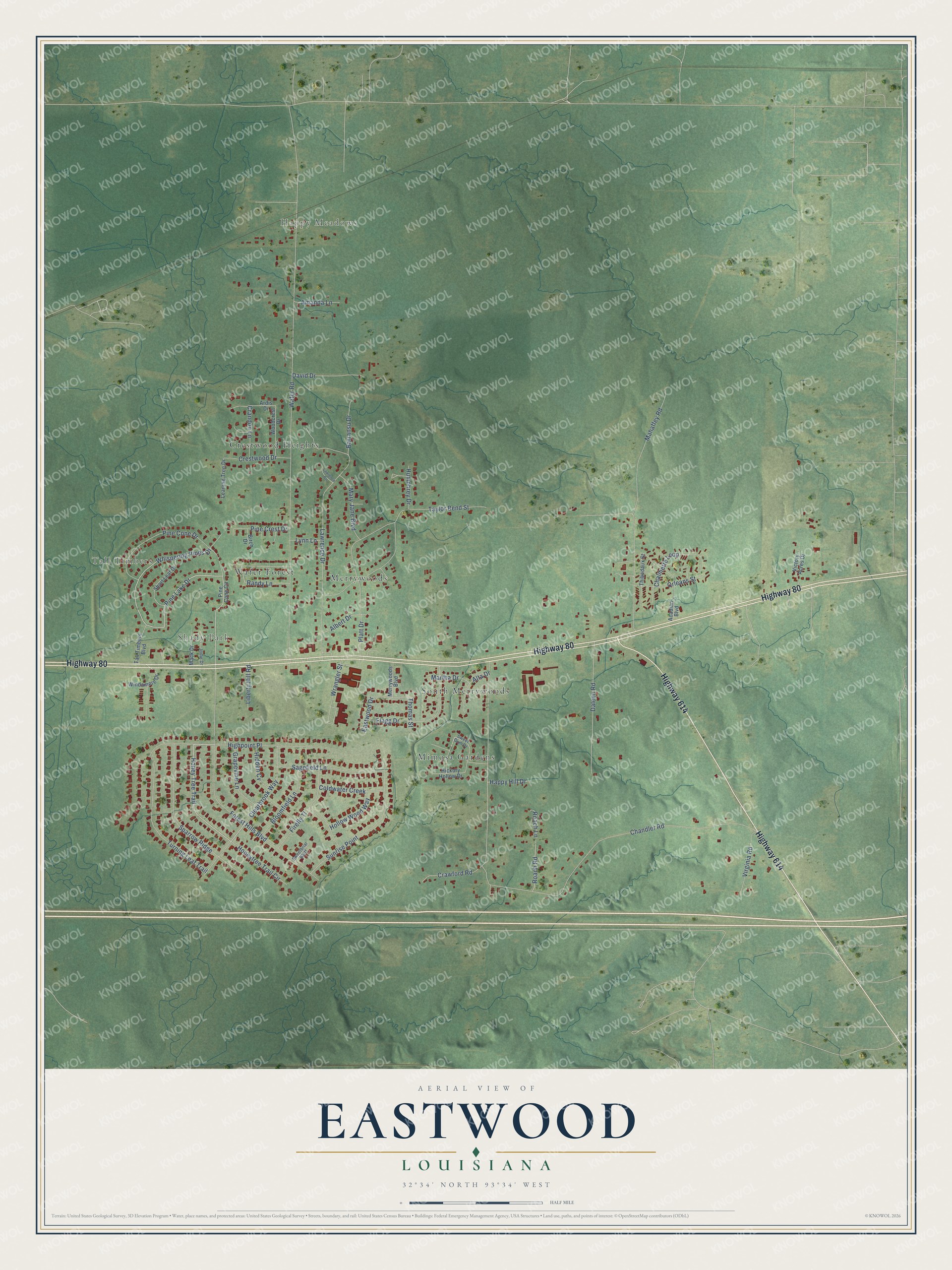
This beautifully detailed map of Eastwood, Louisiana was created in 2026 using aerial imagery combined with modern topographical, census, street and landmark data. It's a modern aerial view of Eastwood in Bossier Parish, Louisiana, that combines modern data with a vintage aesthetic. The roads feature printed names, and if you look closely you can find your exact house accurately shown in its correct location.
Explore an aerial view of Eastwood, Louisiana
On this map you'll find Happy Meadows, Tall Timbers, Shady Park, Crestwood Heights, South Merrywoods, Merrywoods, Mimosa Gardens, Wafer Forest, Highway 80, Highway 614, Honey Tree Trail, Pine Lake Drive, and more. Each red shape is a building, so zoom in on the preview and look for yours.
Eastwood is a community in Bossier Parish. The Census Bureau counted 4,390 people here in 2020. Eastwood sits about 3 miles east of Red Chute, 4 miles northwest of Haughton and 6 miles northeast of Bossier City. The map prints the town name in its title panel, with the coordinates below it.
Take a closer look at the Eastwood map
Names on this map
These names are printed on this map.
Places: Happy Meadows, Tall Timbers, Shady Park, Crestwood Heights, South Merrywoods, Merrywoods, Mimosa Gardens and Wafer Forest.
Streets and roads: Highway 80, Highway 614, Honey Tree Trail, Pine Lake Drive, Whispering Pines Drive, Chandler Road, Wafer Road, Mahaffey Road, Lawrence Drive, Forest Hills Boulevard, Taylor Bend Street, Sparrow Ridge.
More street names, A to Z
Acadian Boulevard, Albert Drive, Alta Drive, Amanda Lane, Ardis Drive, Barransu Drive, Birch Drive, Bloomfield Lane, Chalmette Loop, Clearbrook Way, Coldwater Creek, Crandon Lane, Crawford Road, Crestwood Drive, Daleen Road, David Drive, Eastwood Drive, Firefly Tl, Flagg Drive, Grapevine Lane, Happy Hill Drive, Hickory Hollow Drive, Hidden Cv, Highpoint Place, Hollow Wood Way, Honeytree Trail Circle, Humphrey Drive, Jodie Drive, Lawrence Circle, Leaning Tree Drive, Liberty Hill Road, Lynn Lane, Mack Drive, Martha Drive, Mary Jane Boulevard, Merrywoods Boulevard, Orleans Street, Pine Cone Circle, Pine Cone Drive, Pine Crest Drive, Platt Drive, Randy Lane, Roach Lane, Roach Road, Sagefield Lane, Short Leaf Drive, Sunrise Point, Sweetbriar Bluff, Sweet Gum Drive, Tall Timbers Boulevard, Thibodaux Street, Thomas Street, Turning Leaf Trail, Victory Acres Drive, Virginia Road, Windamere Drive, Woodcrest Drive, Wrangler Street.
See it on a wall
The Eastwood map as a framed print. Swipe for more.


Created by KNOWOL in 2026. The buildings are small red shapes, the roads carry their printed names, and shaded relief shows the shape of the land. The title panel reads "AERIAL VIEW OF EASTWOOD, LOUISIANA" with 32°34' NORTH 93°34' WEST.
It looks right in a kitchen, an office or a den, and it's a gift for anyone who grew up in Eastwood or moved away. Open the preview and find your street. See sizes and frames for the Eastwood map.