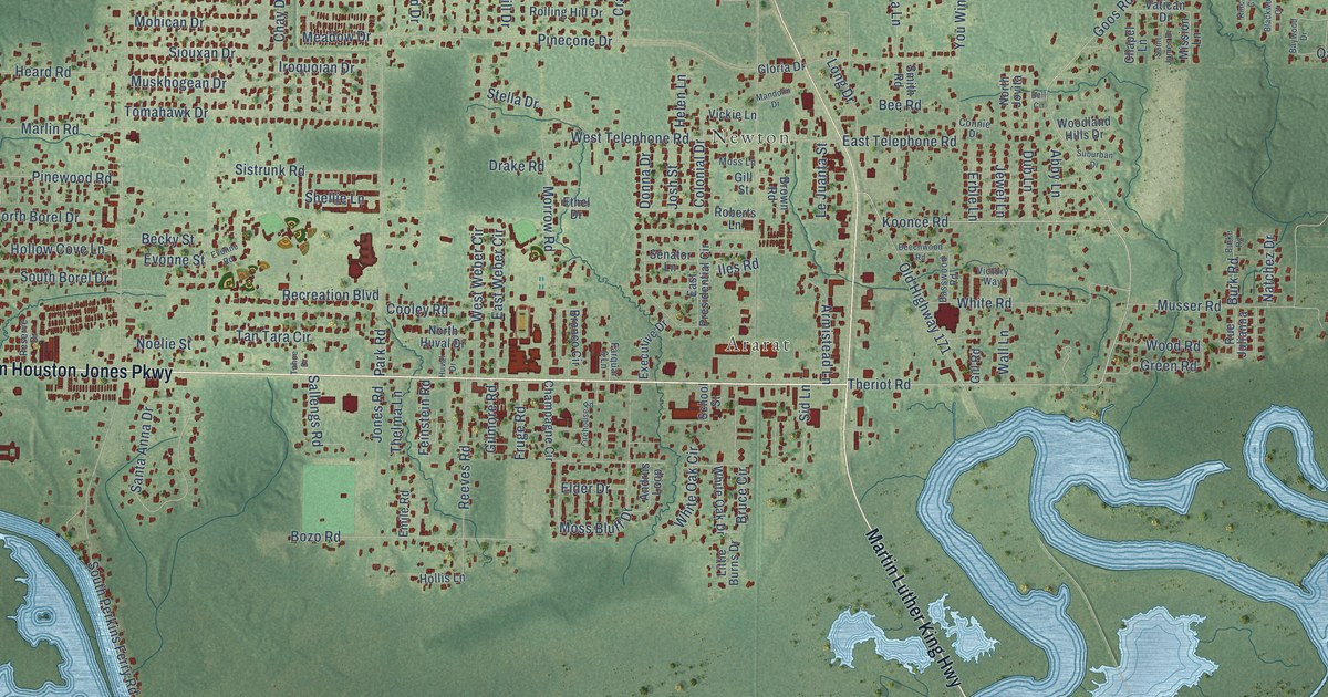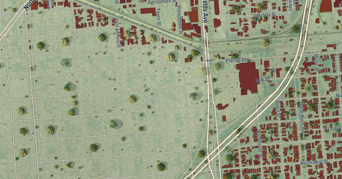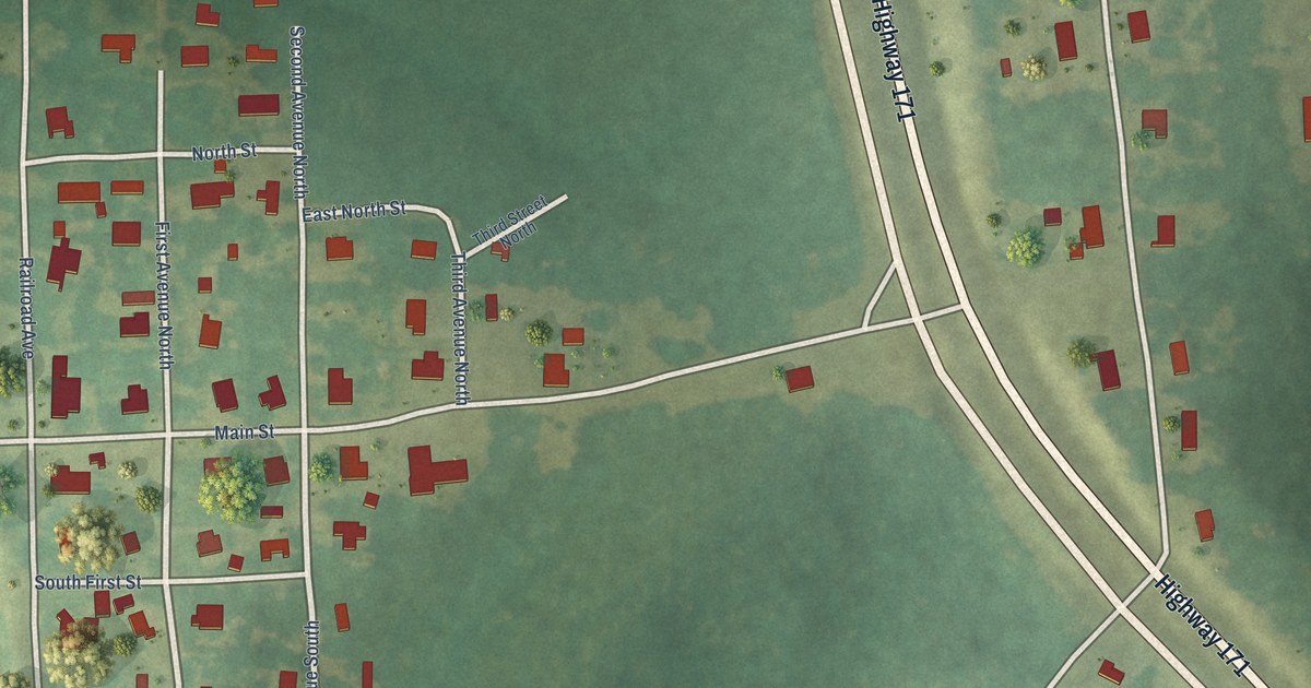
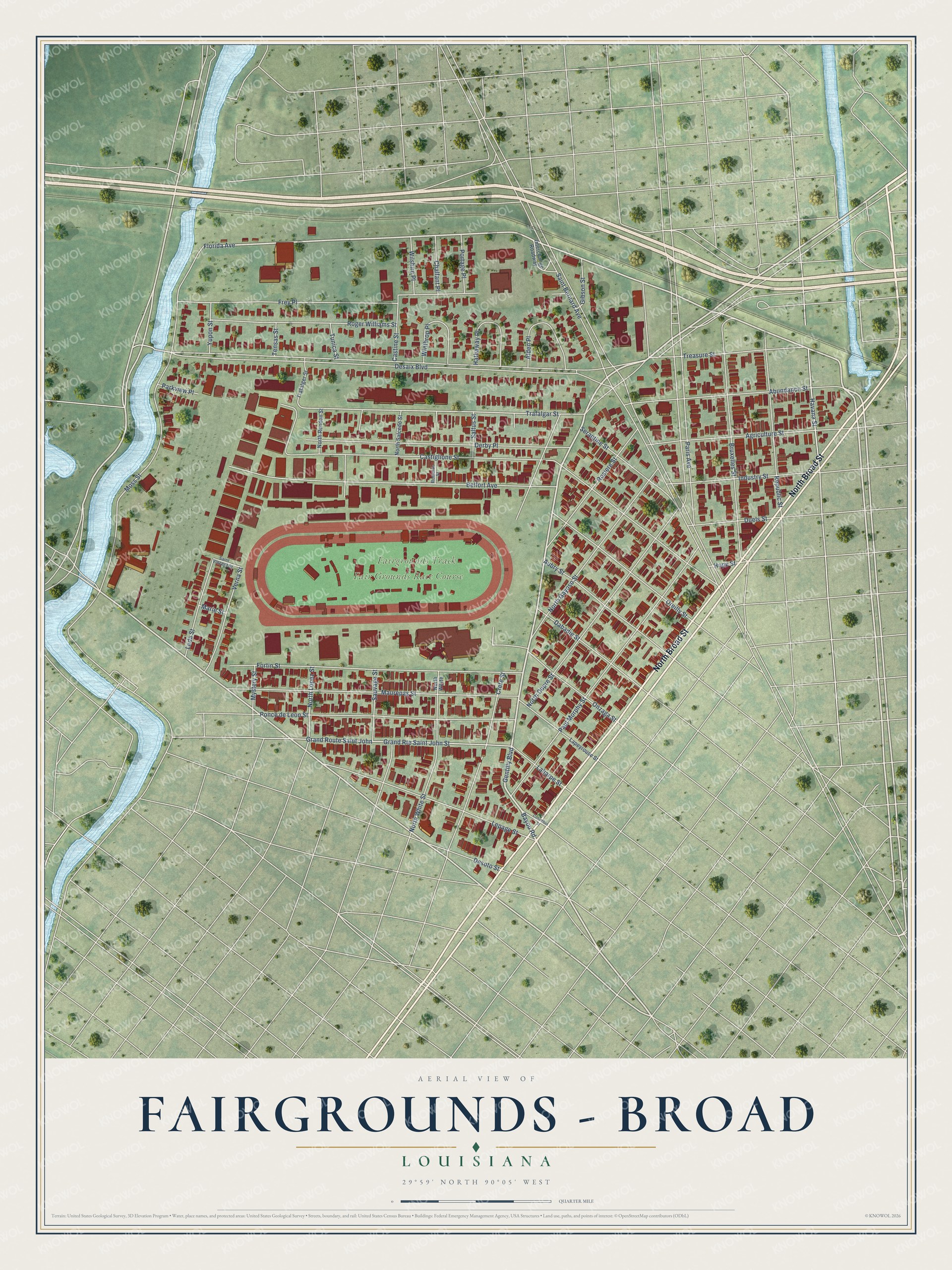
This beautifully detailed map of Fairgrounds – Broad, Louisiana was created in 2026 using aerial imagery combined with modern topographical, census, street and landmark data. It's a modern aerial view of Fairgrounds – Broad in Orleans Parish, Louisiana, that combines modern data with a vintage aesthetic. The roads feature printed names, and if you look closely you can find your exact house accurately shown in its correct location.
Explore an aerial view of Fairgrounds – Broad, Louisiana
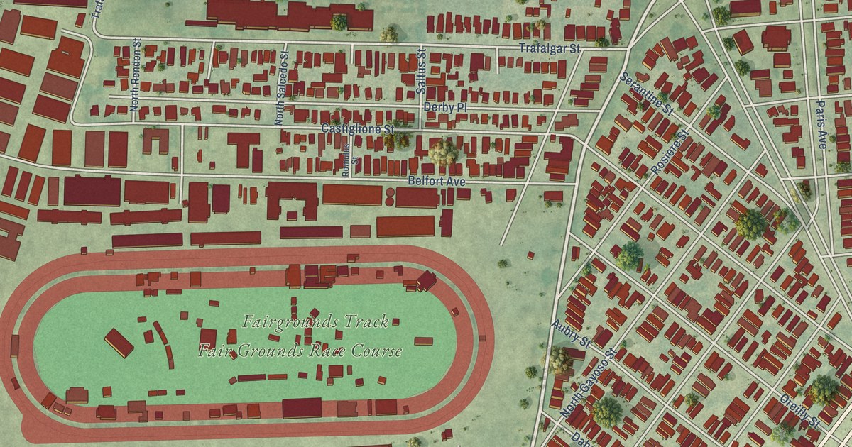
On this map you'll find Fair Grounds Race Course, Fairgrounds Track, North Broad Street, Gentilly Boulevard, Abundance Street, Bayou Road, Florida Avenue, Havana Street, Desaix Boulevard, Trafalgar Street, Saint Bernard Avenue, Castiglione Street, and more. Each red shape is a building, so zoom in on the preview and look for yours.
Fairgrounds – Broad is a neighborhood in Orleans Parish. The map prints the town name in its title panel, with the coordinates below it.
Take a closer look at the Fairgrounds – Broad map
Names on this map
These names are printed on this map.
Places: Fair Grounds Race Course and Fairgrounds Track.
Streets and roads: North Broad Street, Gentilly Boulevard, Abundance Street, Bayou Road, Florida Avenue, Havana Street, Desaix Boulevard, Trafalgar Street, Saint Bernard Avenue, Castiglione Street, Moss Street, Belfort Avenue.
More street names, A to Z
Agriculture Street, Alden Place, Aubry Street, Bruxelles Street, Castine Street, Chalfant Place, Columbus Street, Crete Street, Dabadie Street, Derby Place, Desoto Street, Duels Street, Fortin Street, Frey Place, Gibson Street, Grand Route Saint John, Grand Route Saint John Street, Hathaway Place, Hope Street, Industry Street, Interchange Roadway, Laharpe Street, Lapeyrouse Street, Leda Street, Lepage Street, Marie Street, Maurepas Street, Mystery Street, North Dupre Street, North Gayoso Street, North Lopez Street, North Rendon Street, North Salcedo Street, North White, North White Street, Onzaga Street, Oreilly Street, Paris Avenue, Parkview Place, Paul Morphy Street, Ponce de Leon Street, Portage Place, Republic Street, Roger Williams Street, Romulus Street, Rosiere Street, Saint Vincent Street, Saltus Street, Sauvage Street, Serantine Street, Tensas Street, Trafalger Street, Treasure Street, Tunica Street, Verna Street, Wilshire Place, Winthrop Place, Yupon Street.
Created by KNOWOL in 2026. The buildings are small red shapes, the roads carry their printed names, and shaded relief shows the shape of the land. The title panel reads "AERIAL VIEW OF FAIRGROUNDS – BROAD LOUISIANA" with 29°59' NORTH 90°05' WEST.
It looks right in a kitchen, an office or a den, and it's a gift for anyone who grew up in Fairgrounds – Broad or moved away. Open the preview and find your street. See sizes and frames for the Fairgrounds – Broad map.