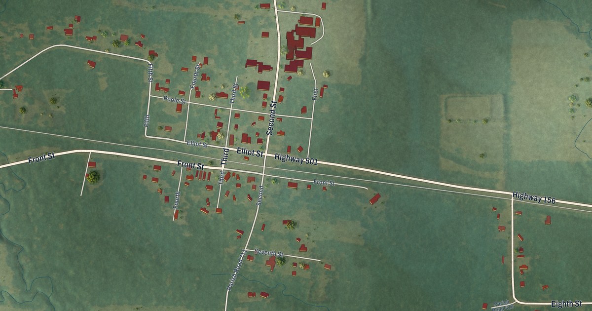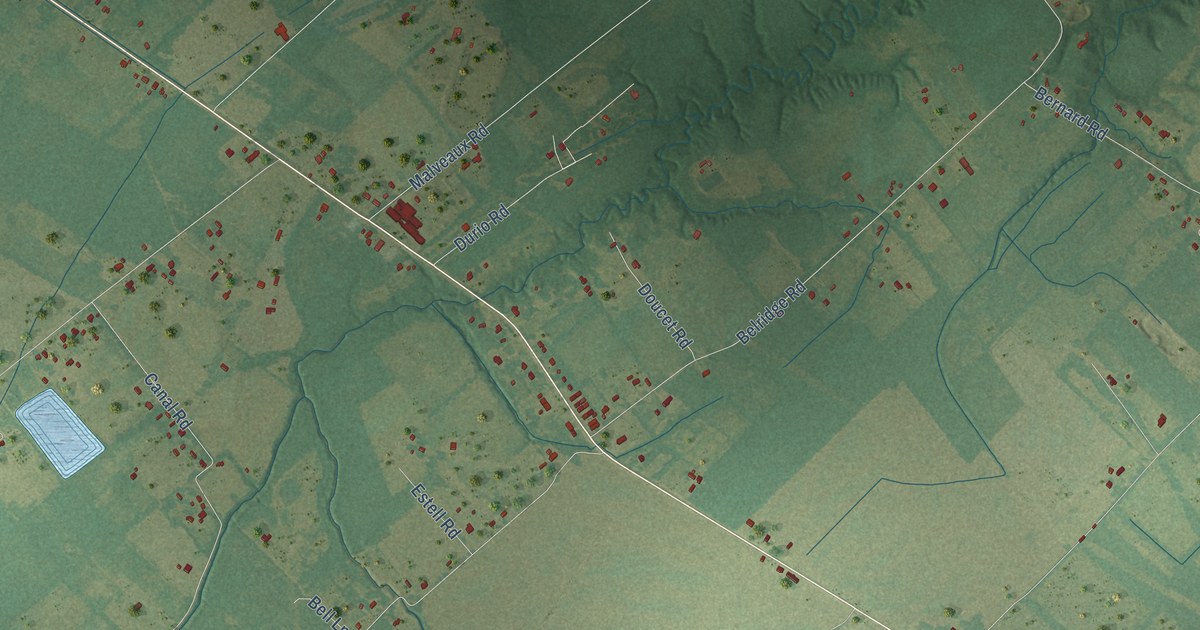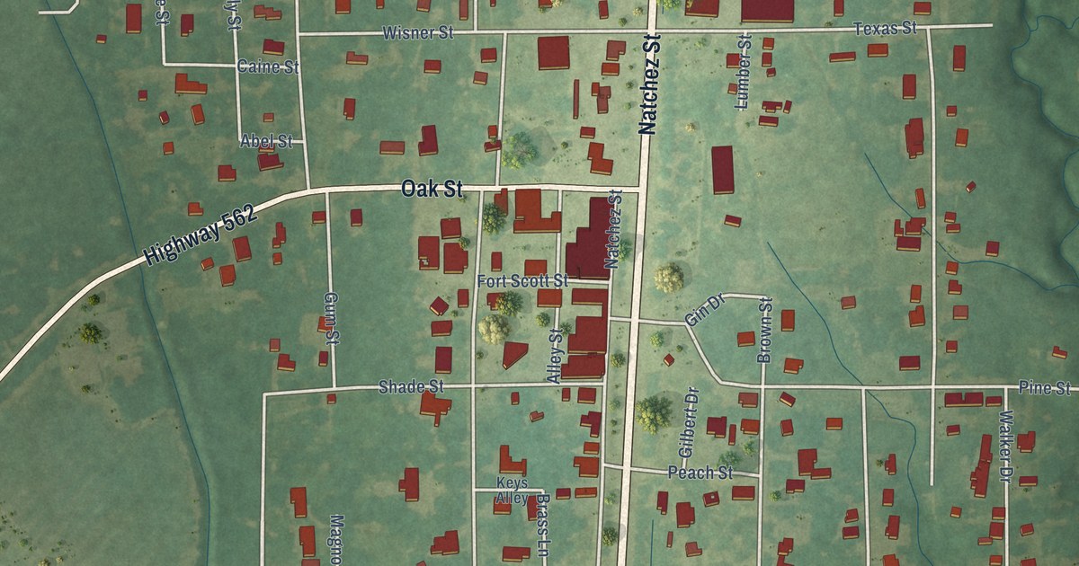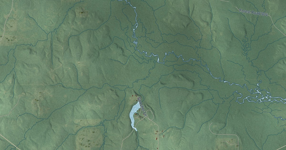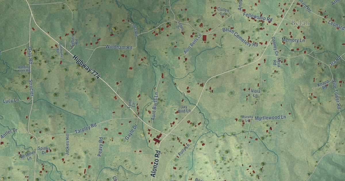
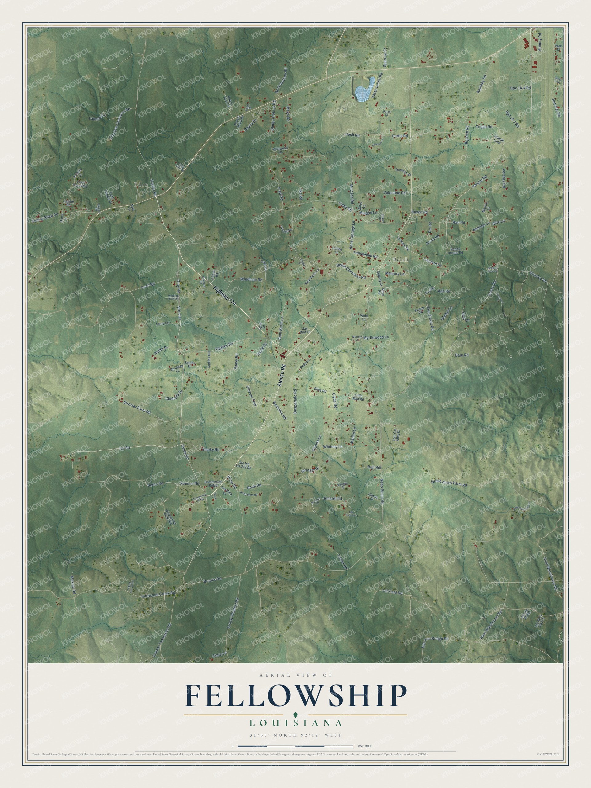
This beautifully detailed map of Fellowship, Louisiana was created in 2026 using aerial imagery combined with modern topographical, census, street and landmark data. It’s a one-of-a-kind view of Fellowship that combines accurate data with a vintage aesthetic. The map shows every building in its true location, many of the roads carry their names, and the shaded topographic relief shows the shape of the land.
Explore an aerial view of Fellowship, Louisiana
On the map you’ll find Eden, Belah, and Strocier, along with Highway 774, Alonzo Road, Hanger Road, Ivy Road, Gray Road, Tarpley Road, Gulde Road, Ira Road, Hurricane Creek Road, and more. If you look closely you can even find your house accurately drawn in its correct location. Zoom in on the preview to look for yours.
Did You Know?
From Henry Rightor’s 1900 Standard History of New Orleans, Louisiana: "Odd Fellowship was founded in Louisiana by the organization of Louisiana Lodge No. 1, under a charter granted by the Grand Lodge of the United States, February 20, 1831, the lodge being instituted May 23, following."
Fellowship is a community in LaSalle Parish.
Take a closer look at the Fellowship map
Names on this map
These names are printed on this map.
Places: Eden and Belah.
Streets and roads: Highway 774, Alonzo Road, Hanger Road, Strocier, Ivy Road, Gray Road, Tarpley Road, Gulde Road, Ira Road, Hurricane Creek Road, Nebo Belah Road, Oil Field Road.
More street names, A to Z
Ada Road, Allie Lane, Annette Lane, Anns Cottage Lane, Antler Drive, Appleby Road, Armory Road, Arnold Road, Arron Road, Aunt Berts Lane, Aunt Burts Lane, Belah Cemetery Road, Benard Road, Benelbie Road, Bento Road, Bernard Lane, Blueberry Lane, Bodcaw Fee C52 Road, Brooks Road, Bruce Lane, Bryant Lane, Bull Hill, Carolina Lane, Cecil Road, Chehalis Drive, Chisum Trail, Choctaw Cemetery Road, Ciara Lane, Clear Fork Road, Cleves Drive, Clyde Road, Cooney Cv, Cullen Lane, Curtis Road, Dale Road, Deana Drive, Desperado Road, Destinee Lane, Durango Drive, Ellston Road, Emma Road, Emmer Thompson Road, Ernest Whatley Road, Faith Temple Drive, Fauqua Drive, Fellowship Road, Fire Tower Road, Foley Road, Fred Road, Gayle Drive, Gilbert Road, Gladys Lane, Glynda Lane, Gourley Road, Green Acres Farm Lane, Green Acres Farm Road, Hatcher Road, Haven Road, Homestead Ridge, Hpc 14-1 Road, Hpc 14-4 Road, Hpc Iron Bridge Road, Hunt Warehouse Road, Hunt Warehouse Spr, Ida Fern Drive, Ike Road, Jackies Hill, Jay Bird Lane, Joseph Loop, Josh Road, Kennon Road, Knapp Road, Lanier Road, Lasiter Road, Lena Road, Leonard Drive, Leonard Road, Little Man Road, Lonely Drive, Lucy Lane, Lynn Lane, Madlin Lane, Maggie Lane, Martha Lane, Maxine Road, Mayo Road, McCann Road, McMurry Lease Road, Memory Lane, Murphy Lane, Myrtlewood Lane, Nealrae Lane, Need More Road, Nesby Loop, Neva Road, Nick Lane, Noah Road, Panshi Ahata Road, Park Street, Patch Drive, Peavy Road, Pig Pen Road, Pipes Drive, Pokni Hina Lane, Polly Lane, Price Road, Pyle Lane, Rad Road, Rendylynn Lane, Riley Road, Rm Road, Robert James Road, Rock Bottom Road, Salez Lane, Searcy Eden Road, Simmons Road, Skipper Road, Sleepy Hollow Road, Smoky Road, Snyder Road, Sparrow Street, Spinks Drive, Stringer Drive, Strozier Farm Road, Three Acres Road, Tingle Road, Tom Cat Alley Drive, Tranquility Acres, Trout Creek Road, Valentine Road, Vaught Drive, Vercher Road, Viola Lane, Walding Kreh Road, Whispering Pines Road, Whitney Lane, Wildwood Drive, Windham Road, Xto Gp All Road, Xto Ipb Lls 219 Road.
See it on a wall
The Fellowship map as a framed print. Swipe for more.


This beautifully detailed map of Fellowship makes an attractive addition to your office, library, or den, and it can even be used to teach children the geography and history of the area. It also makes a great gift for someone who left Fellowship and still calls it home. When you’re done exploring, click here to get your copy of the Fellowship map.