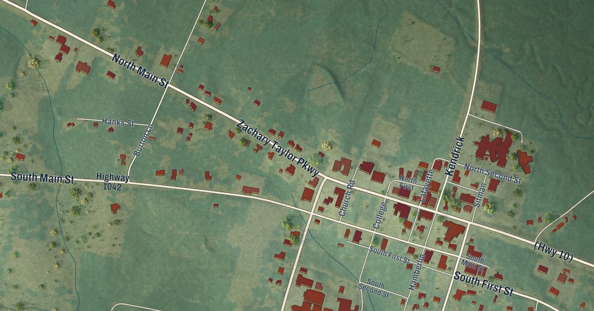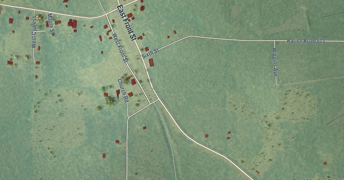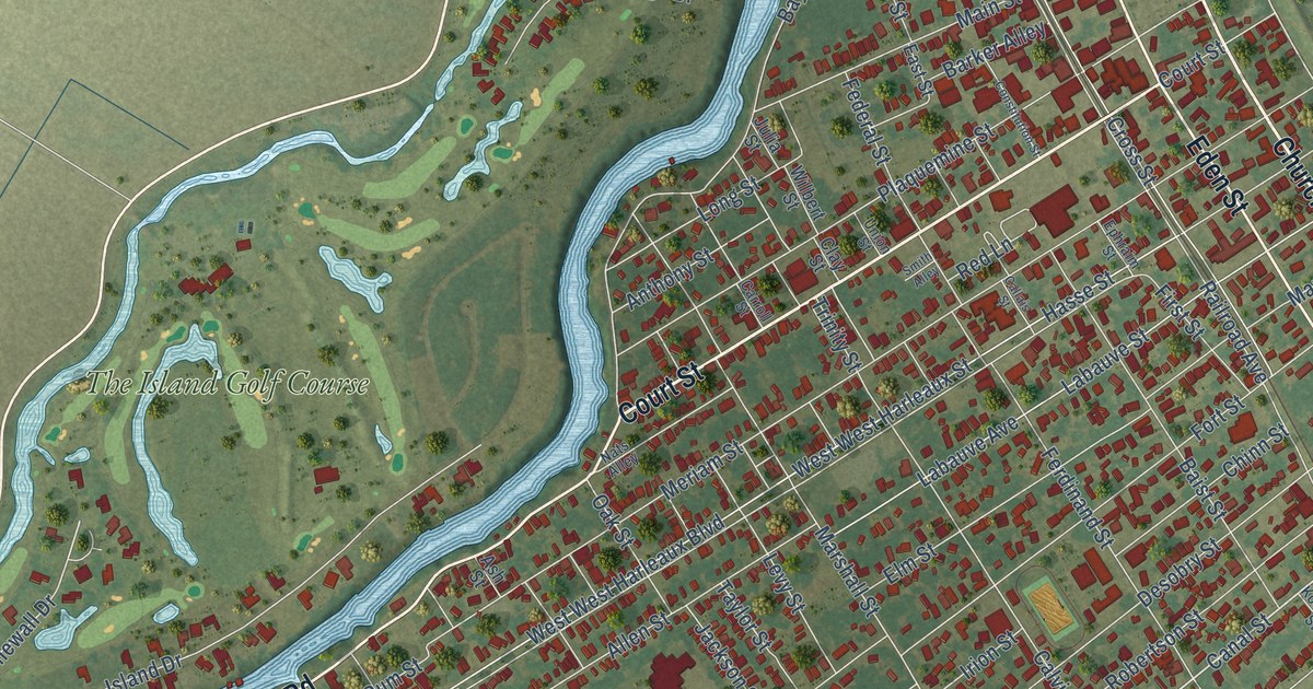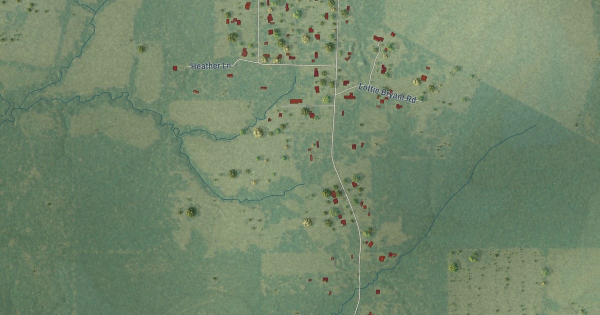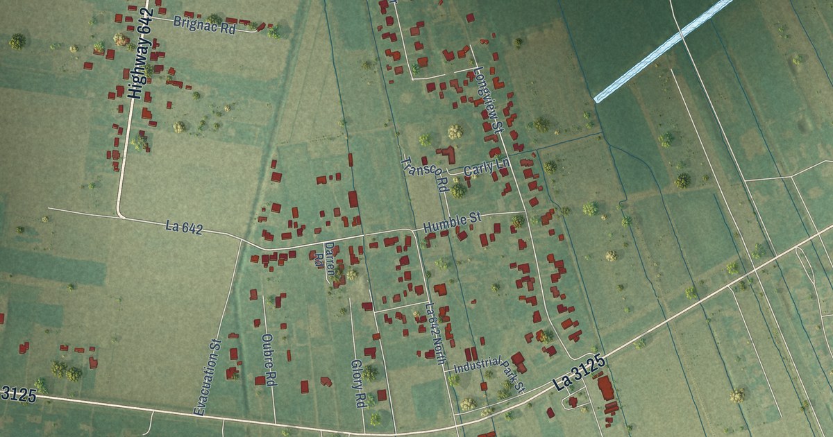
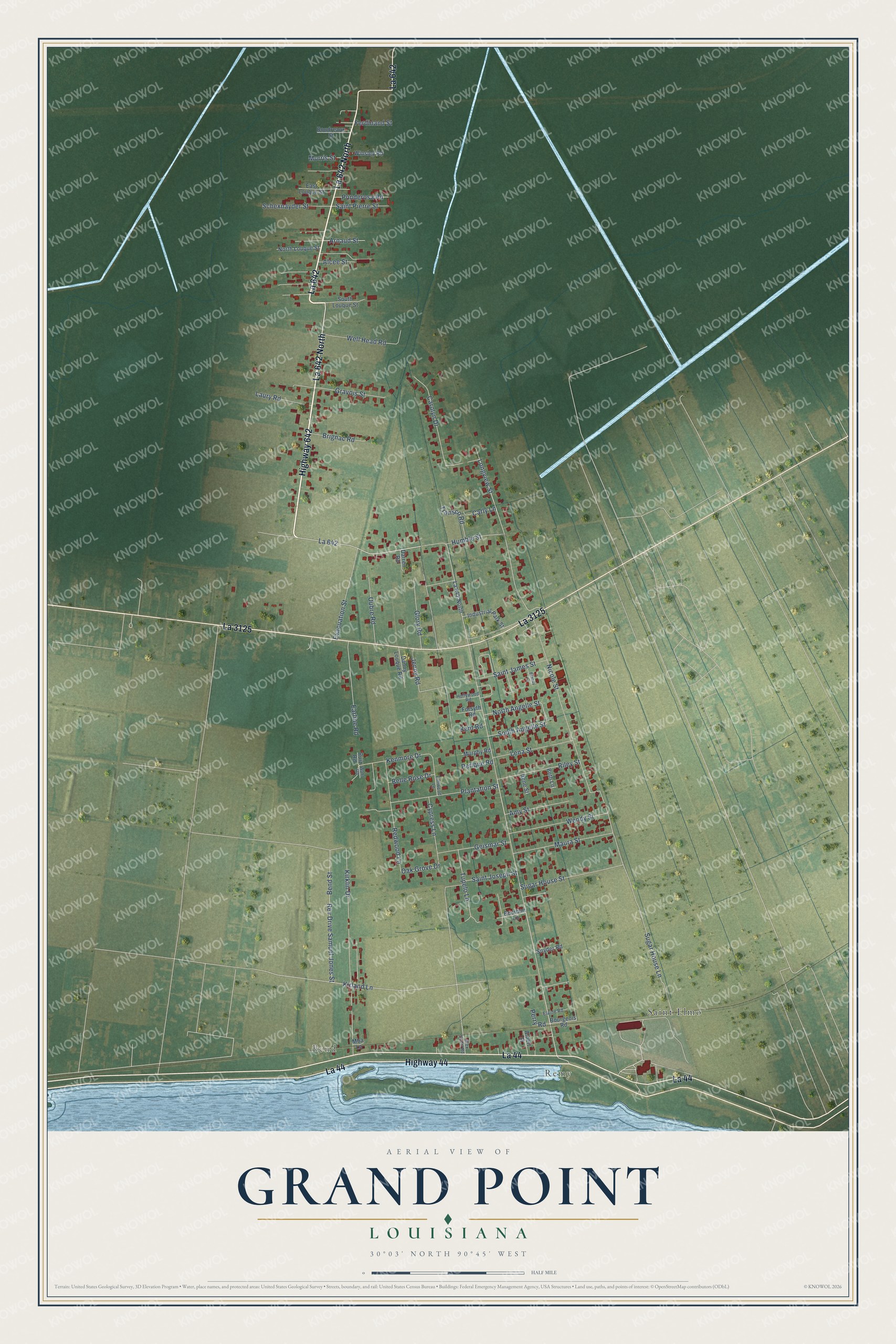
This beautifully detailed map of Grand Point, Louisiana was created in 2026 using aerial imagery combined with modern topographical, census, street and landmark data. It's a modern aerial view of Grand Point in St. James Parish, Louisiana, that combines modern data with a vintage aesthetic. The roads feature printed names, and if you look closely you can find your exact house accurately shown in its correct location.
Explore an aerial view of Grand Point, Louisiana
On this map you'll find Remy, Bend, Saint Elmo, La 642, La 642 North, Highway 642, Highway 44, La 3125, La 44, North Angelle Street, Kirland Lane, Rev Drive Samuel Jones Street, and more. Each red shape is a building, so zoom in on the preview and look for yours.
Grand Point is a community in St. James Parish. The Census Bureau counted 2,241 people here in 2020. Grand Point sits about 2 miles northwest of Paulina, 2 miles northeast of Hester and 3 miles southwest of Lutcher. The map prints the town name in its title panel, with the coordinates below it.
Take a closer look at the Grand Point map
Names on this map
These names are printed on this map.
Places: Remy, Bend and Saint Elmo.
Streets and roads: La 642, La 642 North, Highway 642, Highway 44, La 3125, La 44, North Angelle Street, Kirland Lane, Rev Drive Samuel Jones Street, Longview Street, Sugar House Lane, Oak Grove Drive.
More street names, A to Z
Albert Street, Alcee Street, Alex Scott Road, Amy Street, Arnaud Street, Belle Rose Drive, Bend Street, Beth Lane, Boudreaux Street, Bourbon Lane, Bourgeois Road, Brandy Lane, Brignac Road, Carly Lane, Carolyn Drive, Cypress Lane, Danny Louque Road, Darren Road, Earline Road, East Louque Street, Elaine Road, Elmwood Lane, Evacuation Street, Ferdinand Street, Forsyth Road, Geismar Street, Glory Road, Gravois Street, Hollywood Road, Humble Street, Industrial Park Street, Irene Street, Jenny Road, Kenmore Drive, Kent Road, Kirklin Drive, Laury Road, Lena Street, Maura Street, Mba Lane, Morris Street, Murphy Road, Nicole Street, North Louque Street, Oubre Road, Perique Road, Perry Road, Plantation Street, Ponderosa Road, Redwood Lane, Riley Street, Ruiz Road, Saint James Street, Saint Joseph Street, Saint Pierre Street, Schexnayder Street, Snyder Road, South Angelle Street, South Louque Street, Sugar House Street, Transco Road, Tupelo Lane, Wahl Road, Well Head Road, Wendy Street, Winsley Road.
See it on a wall
The Grand Point map as a framed print. Swipe for more.


Created by KNOWOL in 2026. The buildings are small red shapes, the roads carry their printed names, and shaded relief shows the shape of the land. The title panel reads "AERIAL VIEW OF GRAND POINT, LOUISIANA" with 30°03' NORTH 90°45' WEST.
It suits a den, a classroom or a front hall, and it makes a gift for anyone with Grand Point roots. Open the preview and find the block you know. See sizes and frames for the Grand Point map.