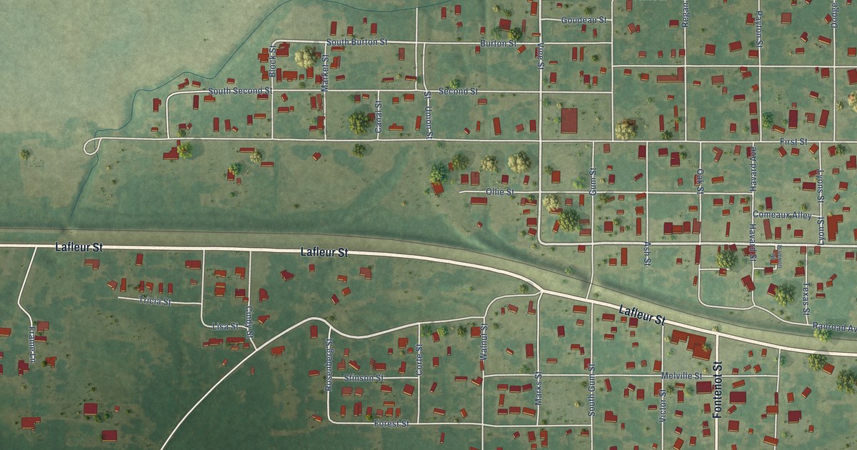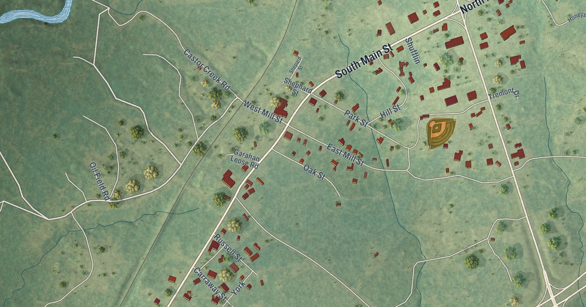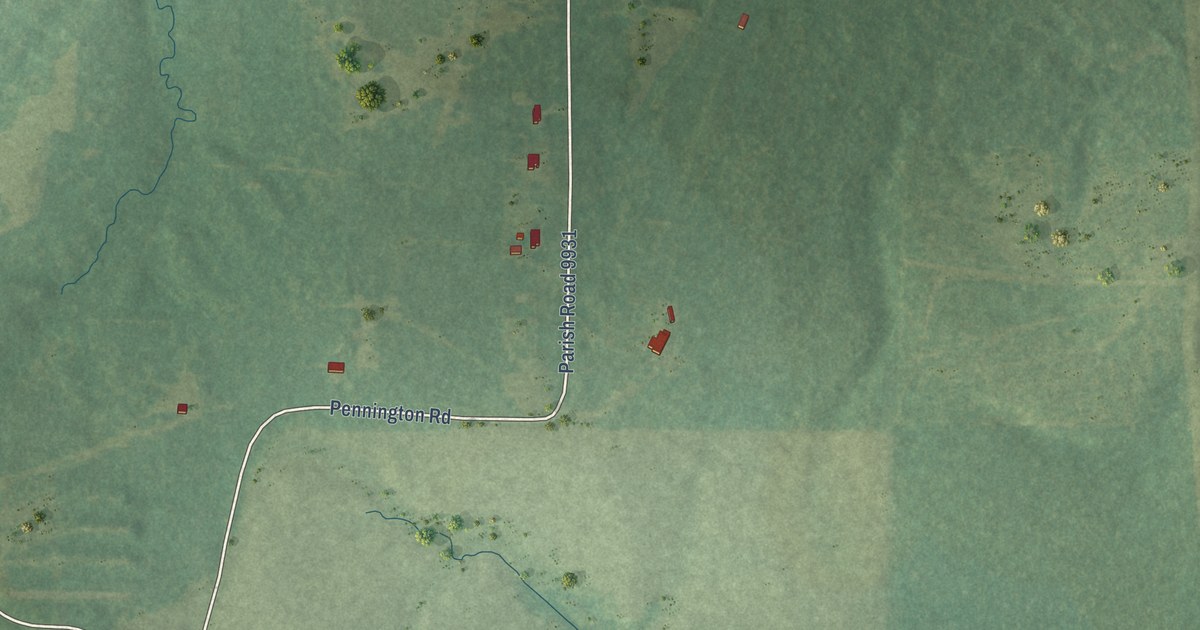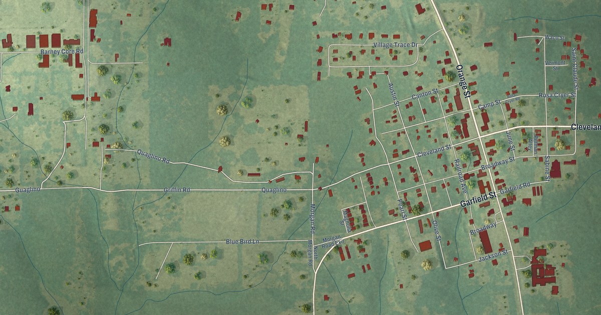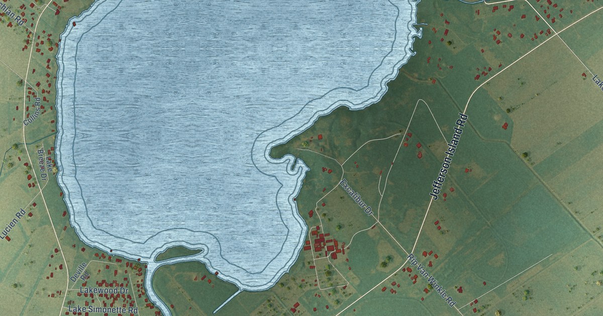
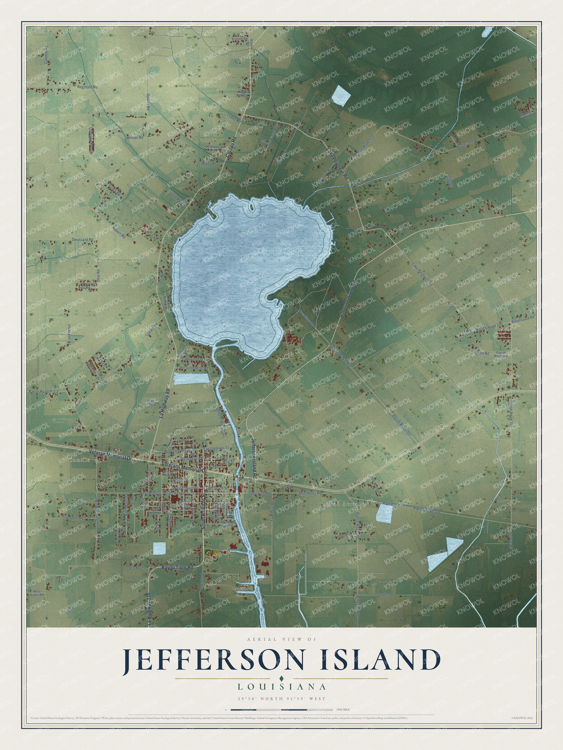
This beautifully detailed map of Jefferson Island, Louisiana was created in 2026 using aerial imagery combined with modern topographical, census, street and landmark data. It’s a one-of-a-kind view of Jefferson Island that combines accurate data with a vintage aesthetic. The map shows every building in its true location, many of the roads carry their names, and the shaded topographic relief shows the shape of the land.
Explore an aerial view of Jefferson Island, Louisiana
On the map you’ll find Camille, Leleux, Delcambre, Bob Acres, Lasalle, and La 14, along with South Railroad Street, Veteran Memorial Drive, Veterans Memorial Drive, Bayou Tigre Road, La Highway 89, Lake Peigneur Road, and more. If you look closely you can even find your house accurately drawn in its correct location. Zoom in on the preview to look for yours.
Take a closer look at the Jefferson Island map
Names on this map
These names are printed on this map.
Places: Camille, Leleux, Delcambre, Bob Acres and Lasalle.
Streets and roads: South Railroad Street, Veteran Memorial Drive, Veterans Memorial Drive, La 14, Bayou Tigre Road, La Highway 89, Lake Peigneur Road, Jefferson Island Road, Coteau Road, La Highway 330, Parish Road P-1-25, Parish Road 707.
More street names, A to Z
Ada Road, Adolphe Street, Alleman Road, Bob Acres Road, Bourque Road, Brayton Road, Bull Island Road, Campbell Road, Canal Street, Challey's Place Road, Chataigner Road, Cloma Drive, Collins Road, Colomb Road, Country Drive, Cupcake Pvt Circle, Dan, Davis Street, Debuse Road, Delahoussaye Road, Delcambre Street, Deussard Road, Deville Road, Dudley Road, Dutil Drive, East Church Street, East Leblanc Street, Ella Est, Emerald Lane, Euda Declambre Road, Excalibur Drive, Glenn Road, Isadore Road, Joe Viator Road, Julie Street, Kin Drive, Kirk Street, Lake Breeze Drive, Lake Simonette Road, Lakewood Drive, Lancon Road, Laurence Street, Leleux Road, Longside Road, Lopez Road, Lucien Road, Lynn Street, Maggie Lane, Martin Luther King Junior Drive, Ned Lane, Neil Street, North Aucoin Street, North Corner Street, Old La 25 Highway, Ollie Road, Paradise Road, Parish Road 510, Parish Road 701, Parish Road 702, Parish Road 704, Parish Road 706, Parish Road 708, Parish Road 721, Parish Road P-1-3, Parish Road P-1-30, Paula Drive, Pearl Street, Railroad Road, Raven Road, Raymond Road, Reginald Road, Richlan Road, Rip Van Winkle Road, Robert Road, Rome Lane, Rue Martine, Saint Elmo Road, Sam Drive, Saunier Drive, Segura Lane, South Central Street, South Dooley Street, South Pelloat Street, South President Street, South Saint Peter Street, South Short Street, Suire Drive, Tupelo Circle, Twin Port Road, V'S Pvt Lane, Vann Pvt Road, Waguespack Road, Waits Road, West Aladin Road, West Church Street, West Leblanc Street, West Main Street, West Theolen Street, Wilfred Landry Street, Wilmer Road, Yuma Road.
See it on a wall
The Jefferson Island map as a framed print. Swipe for more.


This beautifully detailed map of Jefferson Island makes an attractive addition to your office, library, or den, and it can even be used to teach children the geography and history of the area. It also makes a great gift for someone who left Jefferson Island and still calls it home. When you’re done exploring, click here to get your copy of the Jefferson Island map.