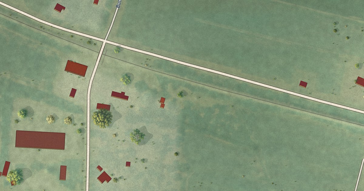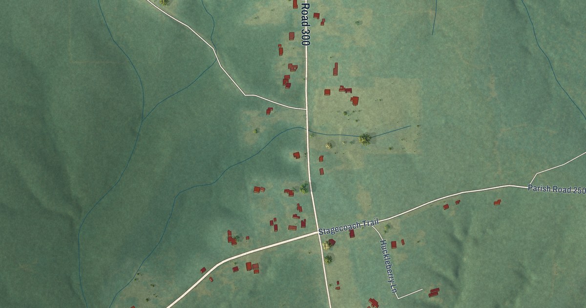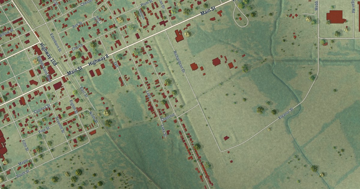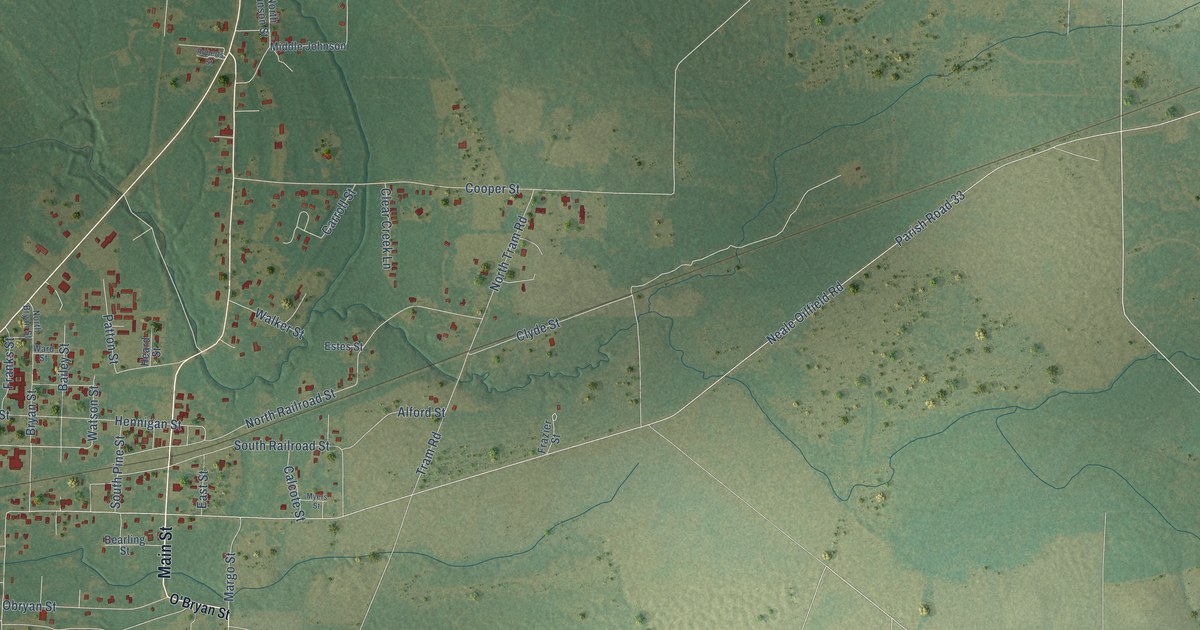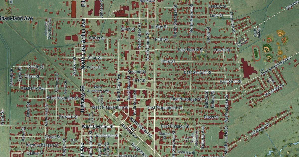
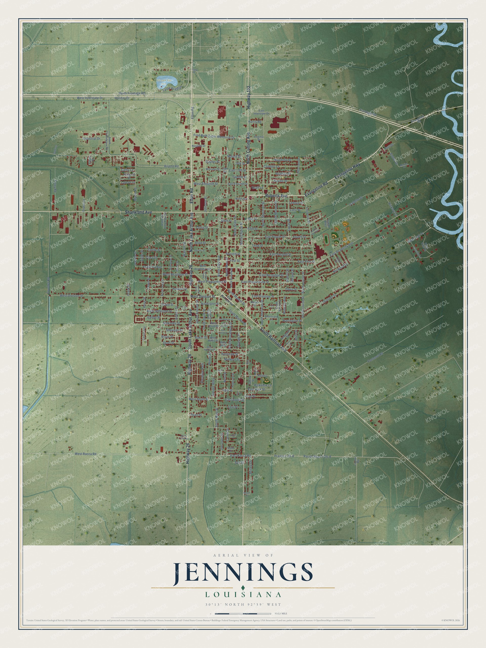
This beautifully detailed map of Jennings, Louisiana was created in 2026 using aerial imagery combined with modern topographical, census, street and landmark data. It's a modern aerial view of Jennings in Jefferson Davis Parish, Louisiana, that combines modern data with a vintage aesthetic. The roads feature printed names, and if you look closely you can find your exact house accurately shown in its correct location.
Explore an aerial view of Jennings, Louisiana
On this map you'll find Oil and Gas Park, Jennings Golf Course, Elton Road, North Lake Arthur Avenue, North Cutting Avenue, Highway 26, Evangeline Highway, Roberts Avenue, Evangeline Road, South Railroad Avenue, Shankland Avenue, South Lake Arthur Avenue, and more. Each red shape is a building, so zoom in on the preview and look for yours.
Here is a piece of Jennings history, in the words of the record. The National Park Service puts it this way: "Although Jennings is known primarily as a center of Queen Anne Revival architecture, a number of Colonial Revival structures are also located in the community."
Jennings is a city in Jefferson Davis Parish. The Census Bureau counted 9,837 people here in 2020.
Take a closer look at the Jennings map
Names on this map
These names are printed on this map.
Places: Oil and Gas Park, Jennings Golf Course and Paradise Park.
Streets and roads: Elton Road, North Lake Arthur Avenue, North Cutting Avenue, Highway 26, Evangeline Highway, Roberts Avenue, Evangeline Road, South Railroad Avenue, Shankland Avenue, South Lake Arthur Avenue, Highway 102, South Main Street.
More street names, A to Z
13th Street, 14th Street, Academy Avenue, Acadian Apartment, Acadian Drive, Airport Road, Alice Street, Allen Street, Amber Drive, Anna Street, Baker Street, Briscoe Lane, Broussard Lane, Bryan Street, Carver Place, Carver Street, Cassidy Lane, Cathy Lane, Cecile Street, Clara Street, Comfort Lane, Crail Street, Curtis Street, Cyrus Loop, Davis Street, Decker Street, Down Street, Dubois Street, East 13th Street, East Academy Avenue, East Division Street, East Eleventh Street, East First Street, East Fourth Street, East Interstate Drive, East Madison Street, East Nezpique Street, East Park Street, East Plaquemine Street, East Racca Road, East Railroad Avenue, East Second Street, East South Street, East Sumner Street, East Wood Street, Evans Lane, Felix Street, Fifth Street, First Street, Florence Street, Foley Road, Fontenot Road, Fourth Street, Frank Street, Fred Ruth Zigler Memorial Drive, Frontage Road, Gallup Street, Garage Alley, Gaynel Street, Golf Lane, Grace Street, Granger Street, Harrington Street, Harris Road, Hickory Lane, High Lane Drive, Hobart Street, Holiday Drive, Hospital Drive, Howard Street, Industrial Drive, Irance Lane, Isabelle Street, Jeanette Street, Jeannels Cory Park Road, Joe Louis Street, Johnson Street, Kimberly Drive, King Street, Lacour Road, Lamb Drive, Larue Acadian, Lauren Lane, Ledoux Street, Levi Street, Lucas Street, Lucy Street, Magnolia Drive, Martin Street, Maud Street, Maund Street, May Street, McKinley Street, Merry Street, Monica Drive, Mouton Drive, Mulkern Street, Myers Road, North Andrew Street, North Avenue, North Broadway, North Cary Avenue, North Church Street, North Craig Street, North Doyle Street, North Frontage Road, North Louise Street, North Main Street, North Market Street, North Morton Street, North Sherman Street, North State Street, Norwood Drive, Orange Street, Ozema Street, Parish Road 2-26-B, Park Street, Parkview Lane, Pearl Street, Penny Street, Perrys Trailer Drive, Peters, Peterson Street, Phyllis Drive, Port Drive, Prairie 2-26-B, Quail Lane, Renshaw Street, River Oak Drive, River View Drive, Roberta Avenue, Royale Drive, Ruland Street, Schreiver Street, Scott Street, Seagraves Street, Second Street, Sheridan Street, Shine Alley, Shirley Drive, Short Street, Sixth Street, Smith Street, Snow Drive, South Andrew Street, South Broadway Street, South Doyle Street, South Louise Street, South Market Street, South Mc Farland Street, South Morton Street, South Sherman Street, South Thibodeaux Road, Syir Street, Third Street, Tizeno Alley, Touchet Road, Twelfth Street, Virginia Street, Washington Street, Watson Street, West Academy Avenue, West Division Street, West Eleventh Street, West Interstate Drive, West Jefferson Street, West Nezpique Street, West Plaquemine Street, West Racca Road, West South Street, West Spencer Street, West Street, West Willis Street, West Wood Street, Williams Street, Winnie Street, Zigler Street.
Created by KNOWOL in 2026. The buildings are small red shapes, the roads carry their printed names, and shaded relief shows the shape of the land. The title panel reads "AERIAL VIEW OF JENNINGS LOUISIANA" with 30°13' NORTH 92°39' WEST.
It suits a den, a classroom or a front hall, and it makes a gift for anyone with Jennings roots. Open the preview and find the block you know. See sizes and frames for the Jennings map.