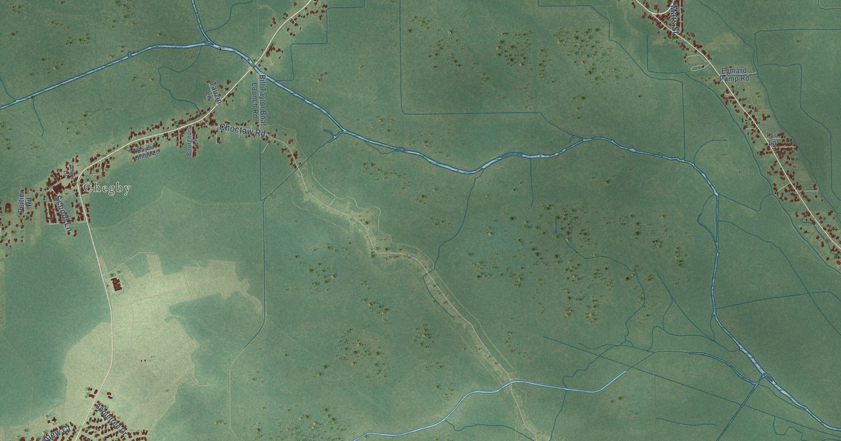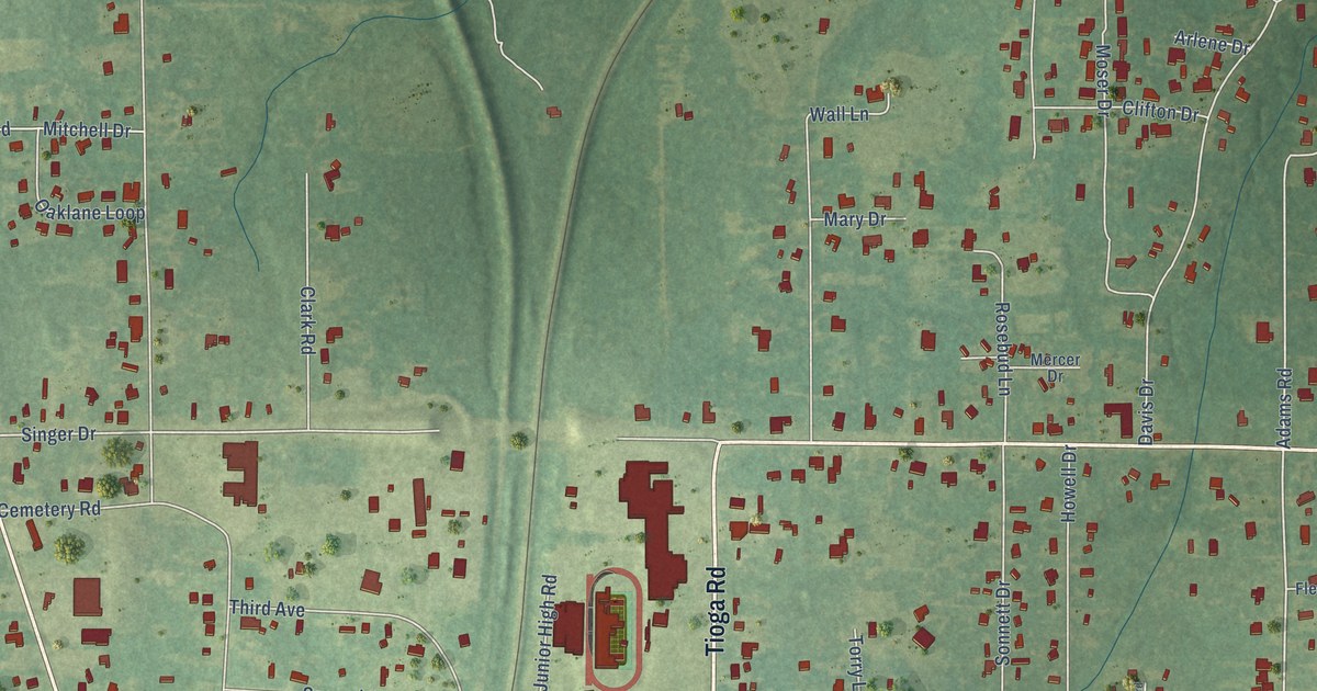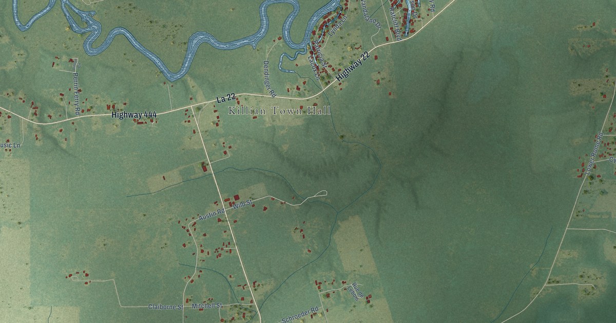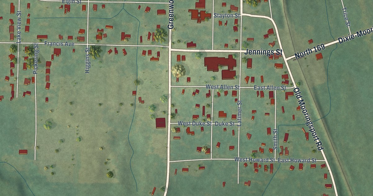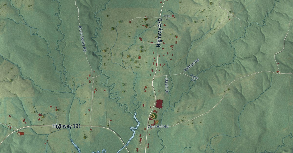
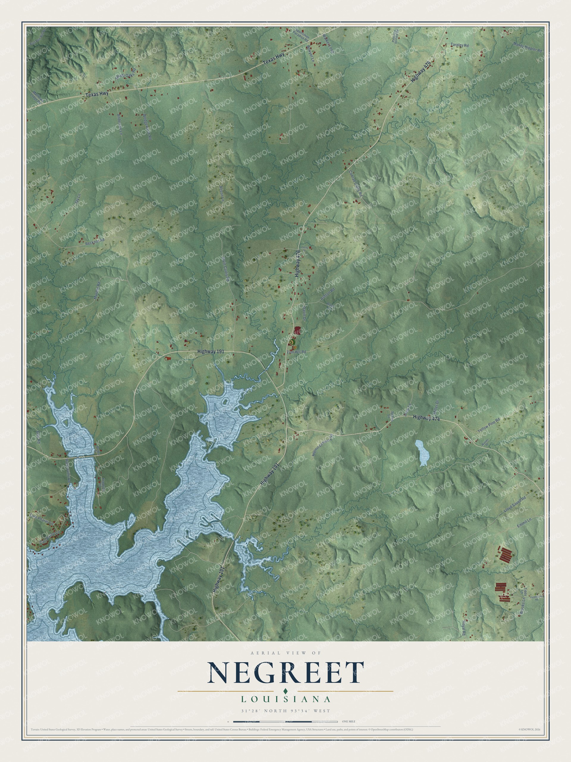
This beautifully detailed map of Negreet, Louisiana was created in 2026 using aerial imagery combined with modern topographical, census, street and landmark data. It’s a one-of-a-kind view of Negreet that combines accurate data with a vintage aesthetic. The map shows every building in its true location, many of the roads carry their names, and the shaded topographic relief shows the shape of the land.
Explore an aerial view of Negreet, Louisiana
On the map you’ll find Highway 191, Highway 476, Texas Highway, Highway 474, Zion Hill Road, Recknor Road, Alison Lane, Lloyd Savell Road, Alvin Curtis Road, Yellow Pine Road, Cart Bayou Lane, Shady Oaks Road, and more. If you look closely you can even find your house accurately drawn in its correct location. Zoom in on the preview to look for yours.
Did You Know?
Negreet was founded in 1822. Families arrived in large numbers once nearby Fort Jesup brought order to the lawless Neutral Strip. Farms and plantations thrived here until the Civil War. The war wrecked the area and forced many residents to leave.
Negreet is a community in Sabine Parish.
Take a closer look at the Negreet map
Names on this map
These names are printed on this map.
Streets and roads: Highway 191, Highway 476, Texas Highway, Highway 474, Zion Hill Road, Recknor Road, Alison Lane, Lloyd Savell Road, Alvin Curtis Road, Yellow Pine Road, Cart Bayou Lane, Shady Oaks Road.
More street names, A to Z
Anderson Lane, Ashton Road, Bowyer Lane, Bradley Drive, Brooks Lane, Bull Pen Hill Road, Cecily Drive, Cole Phares Lane, Conrad Cathy Road, Davin Drive, Drew Lane, Ellis Road, Emmit Lane, Funderburk Road, Jay Lane, Kendrick Road, Matthews Lodge Road, Maxey Hippler Road, Miller Drive, Murphy Road, Negreet Cemetery Road, Patterson Oil Field Road, Rose Lane, Royal Road, Spikes Lane, Sportsman Paradise Road, Tarpley Road, Tippy Lane, Walker Loop, Walkerville Road, Wedgeworth Road, Woods Drive.
See it on a wall
The Negreet map as a framed print. Swipe for more.


This beautifully detailed map of Negreet makes an attractive addition to your office, library, or den, and it can even be used to teach children the geography and history of the area. It also makes a great gift for someone who left Negreet and still calls it home. When you’re done exploring, click here to get your copy of the Negreet map.