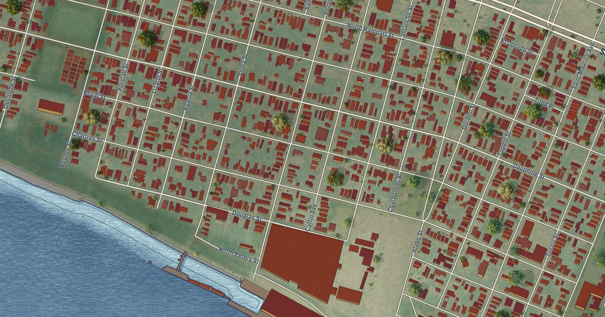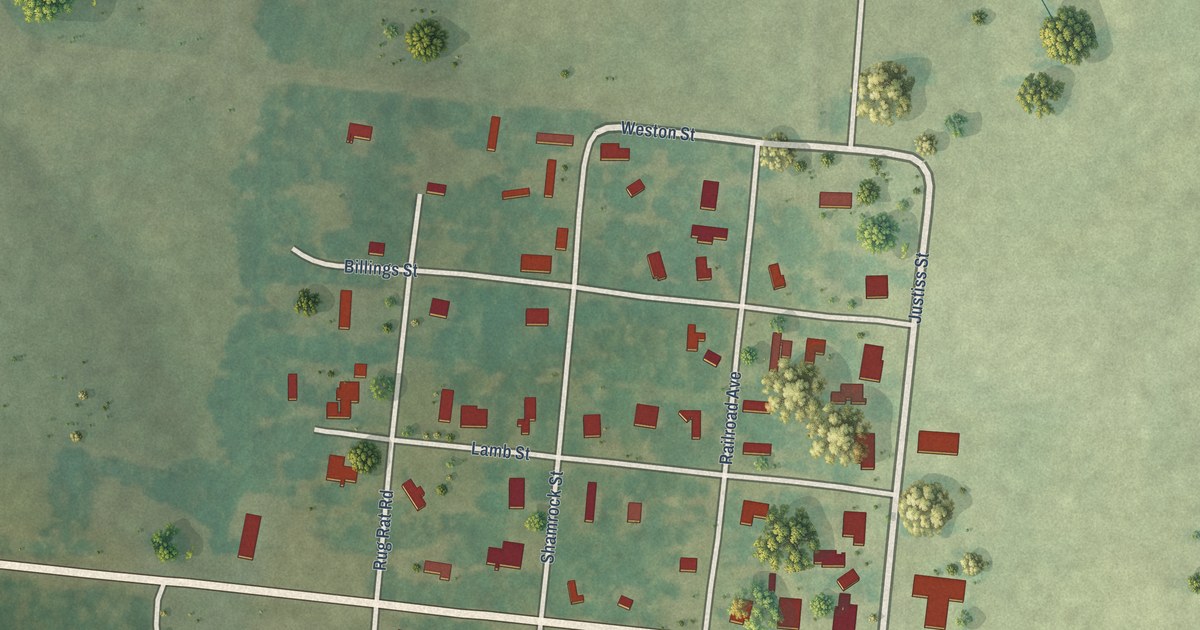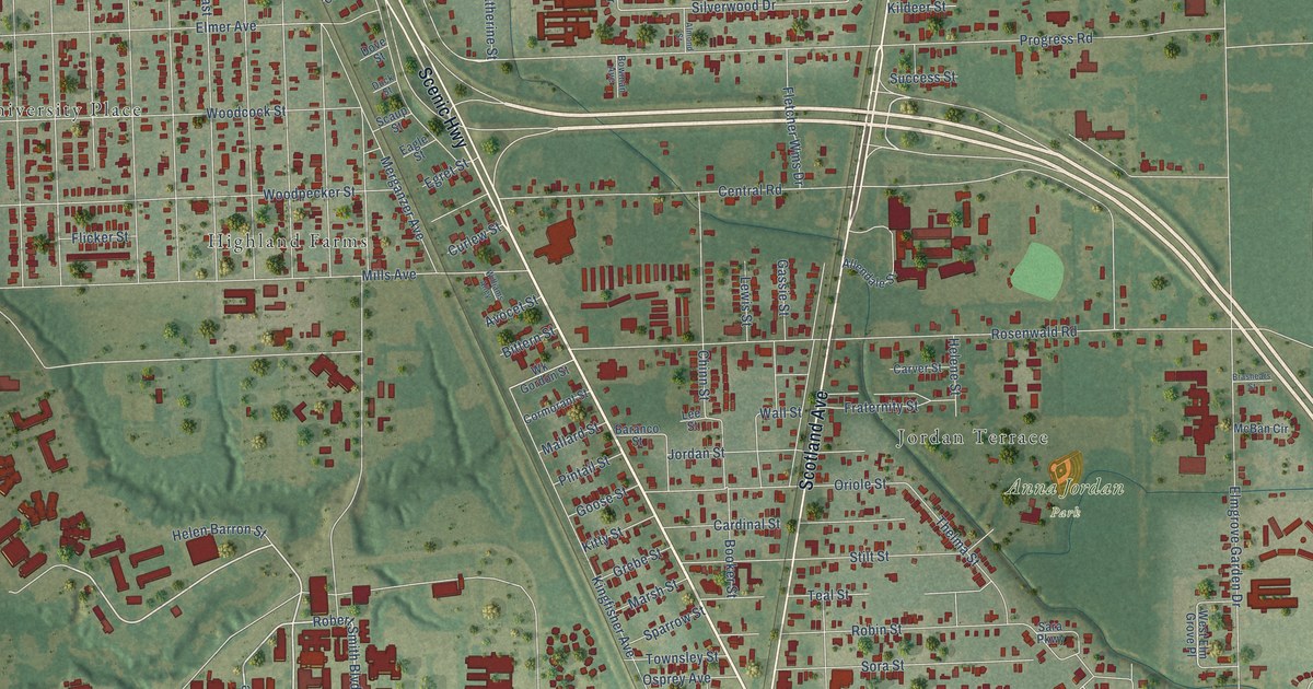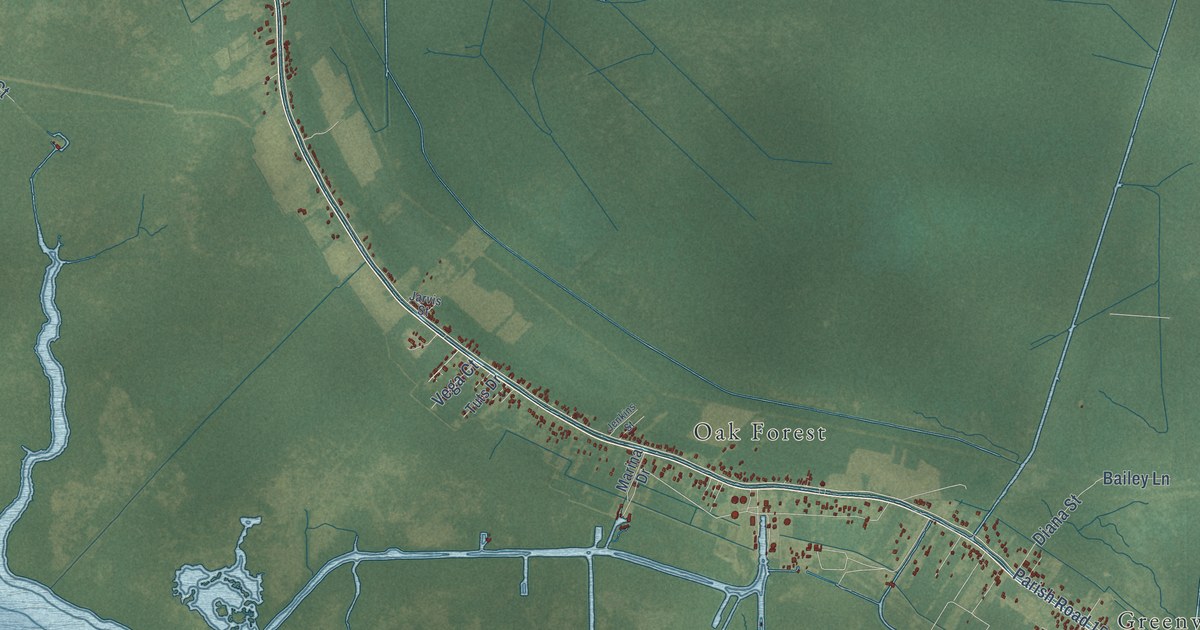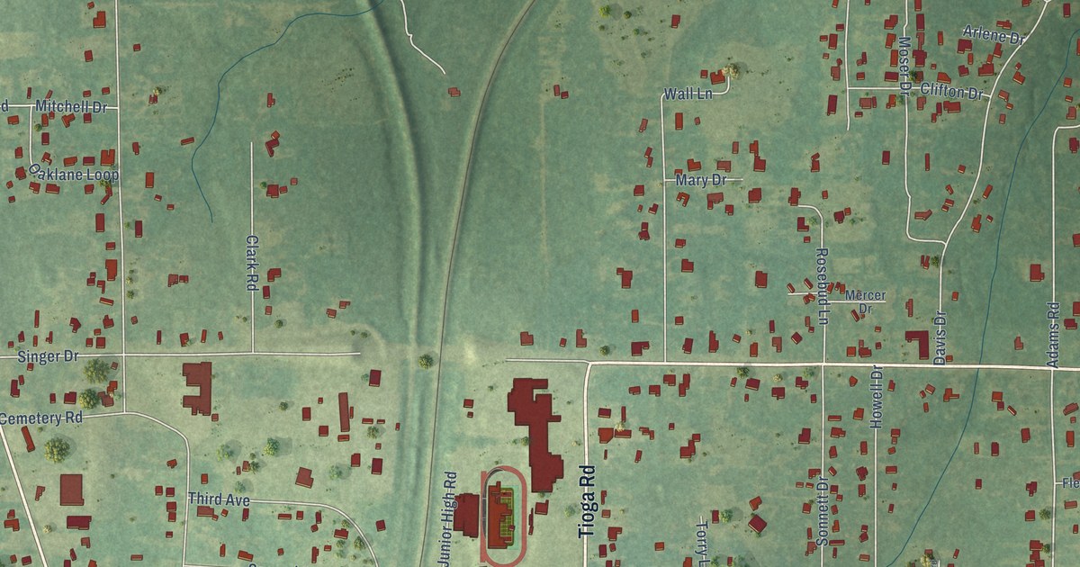
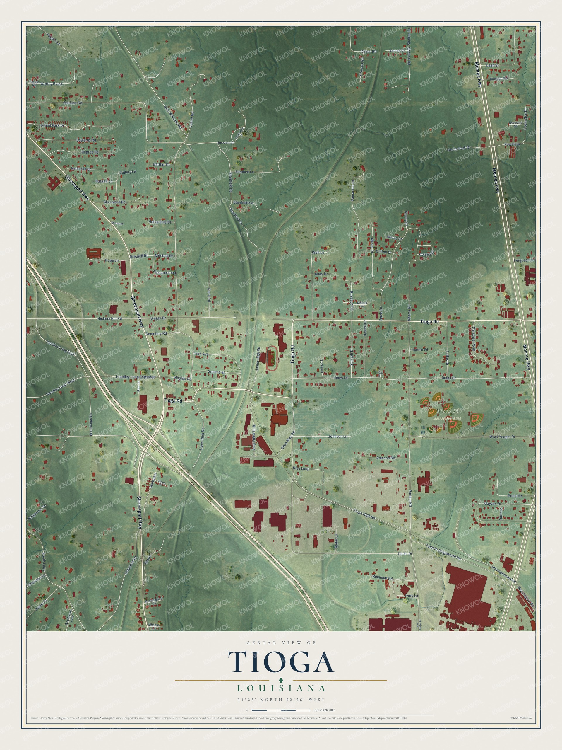
This beautifully detailed map of Tioga, Louisiana was created in 2026 using aerial imagery combined with modern topographical, census, street and landmark data. It’s a one-of-a-kind view of Tioga that combines accurate data with a vintage aesthetic. The map shows every building in its true location, many of the roads carry their names, and the shaded topographic relief shows the shape of the land.
Explore an aerial view of Tioga, Louisiana
On the map you’ll find Ward 10 Recreation Area and Handley Loop Extended, along with Shreveport Highway, Monroe Highway, Tioga Road, Handley Loop, Singer Drive, Pardue Road, Stanfield Road, Handley Loop East, Adams Road, Gayven Drive, and more. If you look closely you can even find your house accurately drawn in its correct location. Zoom in on the preview to look for yours.
Did You Know?
From Jedidiah Morse’s 1804 American Gazetteer: "N, York, lies between the S end of Seneca Lake and Tioga river; having Chemung townthip E, from which it was taken, and incorporated in 1792."
Tioga is a community in Rapides Parish.
Take a closer look at the Tioga map
Names on this map
These names are printed on this map.
Places: Ward 10 Recreation Area.
Streets and roads: Shreveport Highway, Monroe Highway, Tioga Road, Handley Loop Extended, Handley Loop, Singer Drive, Pardue Road, Stanfield Road, Handley Loop East, Adams Road, Gayven Drive, Oaklane Road.
More street names, A to Z
Amason Road, Arlene Drive, Aspen Court, Barthel Drive, Beauregard Road, Belgard Road, Bowie, Cemetery Road, Cenla Drive, Clark Road, Clifton Drive, Clines Road, Cockerham Lane, Connie Drive, Covington Drive, Crooms Road, Darlene, Davis Drive, Dixie Mae Road, Dupree Road, Edwards Road, Elm Lane, Ferguson Lane, Fletcher Road, Gilly Williams Road, Handley Loop West, Hickory Hill Road, Higdon Road, Hines Lane, Hollandale Drive, Hope Lane, Howell Drive, Hyland Park Drive, International Avenue, Ivory Lane, James Drive, Janna Drive, Jessica Lane, Johnson Lane, Junior High Road, Kenny Drive, Kerlin Park Drive, Lafayette Lane, Lanier Road, Leah Street, Lions Club Road, Mary Drive, Mercer Drive, Mimosa Lane, Mitchell Drive, Mitchell Road, Mockingbird Lane, Morgan Road, Moser Drive, Netherlin Drive, New Pardue Road, Normand Drive, Oaklane Loop, Overview Drive, Paige's Lane, Paradise Point, Poisso Road, Poole Drive, Powell Drive, Remount Road, Rice Loop, Ridgeview Drive, Rosebud Lane, Russell Lane, Ryder Drive, Samantha Drive, Second Street, Shelton Drive, Shelton Road, Sherwood, Sherwood Road, Skeels Drive, Sonnett Drive, South Loop, Stalwaker, Stanfield Drive, Stanfield Lane, Stephen Lane, Third Avenue, Tioga High Road, Todd Hollingsworth Road, Torry Lane, Tullos Drive, Vallery Lane, Wall Lane, West Yeager Drive, Willamette Boulevard, Woodcreek Loop, Worthy Plaza.
See it on a wall
The Tioga map as a framed print. Swipe for more.


This beautifully detailed map of Tioga makes an attractive addition to your office, library, or den, and it can even be used to teach children the geography and history of the area. It also makes a great gift for anyone who grew up in Tioga or moved away. When you’re done exploring, click here to get your copy of the Tioga map.