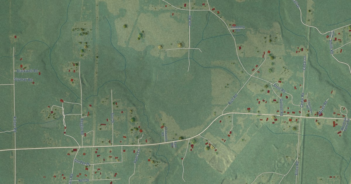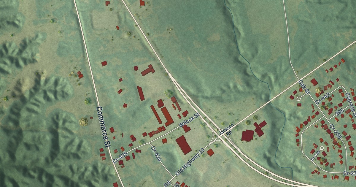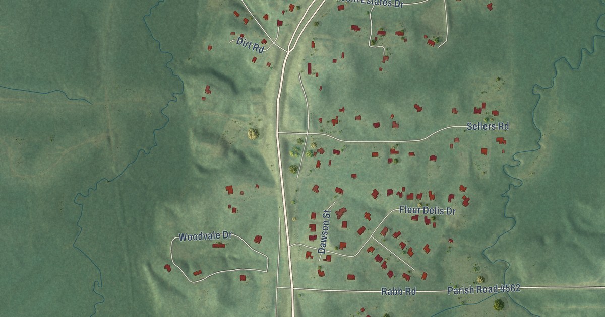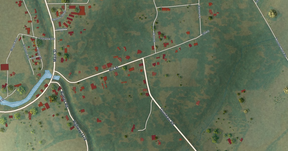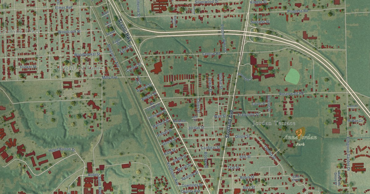
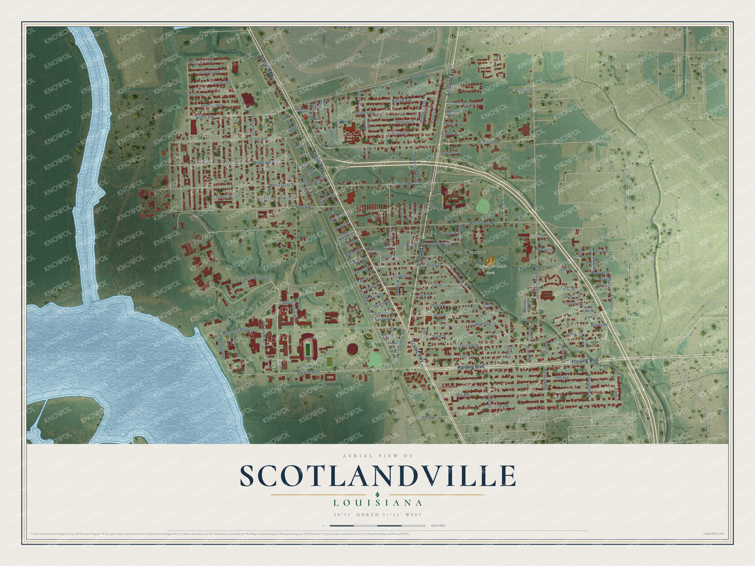
This beautifully detailed map of Scotlandville, Louisiana was created in 2026 using aerial imagery combined with modern topographical, census, street and landmark data. It’s a one-of-a-kind view of Scotlandville that combines accurate data with a vintage aesthetic. The map shows every building in its true location, many of the roads carry their names, and the shaded topographic relief shows the shape of the land.
Explore an aerial view of Scotlandville, Louisiana
On the map you’ll find Anna Jordan Park, Crestworth, Southern Heights, Park Vista, Highland Farms, Scotland, Moreco, and University Place, along with Jordan Terrace, Scenic Highway, Harding Boulevard, Scotland Avenue, and more. If you look closely you can even find your house accurately drawn in its correct location. Zoom in on the preview to look for yours.
Did You Know?
In 1912 Louisiana bought 531 acres in Scotlandville for Southern University and A&M College. Lawmakers moved the historically Black college here from New Orleans to give it more land. The campus rose on Scott’s Bluff above the Mississippi River.
Take a closer look at the Scotlandville map
Names on this map
These names are printed on this map.
Places: Anna Jordan Park, Crestworth, Southern Heights, Park Vista, Highland Farms, Scotland, Moreco, Jordan Terrace and University Place.
Streets and roads: Scenic Highway, Harding Boulevard, Scotland Avenue, Jesse Stone Avenue, Robert Smith Boulevard, Southern Avenue, Progress Road, Bon Crest Avenue, Wall Street, Silverwood Drive, Heath Street, Kingfisher Avenue.
More street names, A to Z
76th Avenue, 77th Avenue, 78th Avenue, 79th Avenue, Allendale Street, Almond Street, Andover Street, Avenue East, Avocet Street, Badley Road, Balsam Avenue, Baranco Street, Bayberry Avenue, Bertha Street, Birchwood Drive, Bittern Street, Blount Avenue, Blount Road, Booker Street, Bowman Avenue, Brashears Street, Canada Street, Cardinal Street, Carver Street, Catherine Street, Central Road, Chinn Street, Coot Street, Cormorant Street, Crane Street, Crestview Avenue, Curlew Street, Curtis Street, Dove Street, Duck Street, Eagle Street, Edwin Street, Egret Street, Elmer Avenue, Elmgrove Garden Drive, Emile Street, Fairchild Street, Finch Street, Fletcher Wms Drive, Flicker Street, Fraternity Street, Frenchy Lane, Gassie Street, Goose Street, Grebe Street, Helen Barron Street, Helene Street, Heron Street, Hillcrest Avenue, Jay Street, Jenkins Drive, Jones Street, Jordan Street, Kelly Street, Key Street, Kildeer Street, Kitty Street, Lakecrest Avenue, Lark Street, Lee Street, Leon Netterville Drive, Lewis Street, Mallard Street, Marsh Street, Mayhaw Drive, McBan Circle, Mensia Place, Merganzer Avenue, Mills Avenue, Muse Street, North Lark Street, Nottingham Street, Oriole Street, Osprey Avenue, Owl Avenue, Pembroke Street, Pintail Street, Plover Street, Powers Street, Rail Street, Rivercrest Avenue, Robin Street, Roosevelt Reptoe Avenue, Rosenwald Road, Rosewood Street, Sara Parkway, Scaup Street, Sharon Street, Simms Street, Snipe Street, Somerset Street, Sora Street, Sparrow Street, Standard Street, Stanicola Drive, Stanicola Street, Stilt Street, Success Street, Swan Avenue, Tallow Drive, Tanner Street, Tate Street, Teal Street, Tern Street, Thelma Street, Townsley Street, Varsity Street, West Almond Drive, West Elm Grove Place, Whitfield Street, Wilbur, Wilbur Road, Wilbur Street, Williams Alley, Wk Gordon Street, Woodcock Street, Woodpecker Street, Wren Street, Zerlee Street.
See it on a wall
The Scotlandville map as a framed print. Swipe for more.


This beautifully detailed map of Scotlandville makes an attractive addition to your office, library, or den, and it can even be used to teach children the geography and history of the area. It also makes a great gift for someone who left Scotlandville and still calls it home. When you’re done exploring, click here to get your copy of the Scotlandville map.