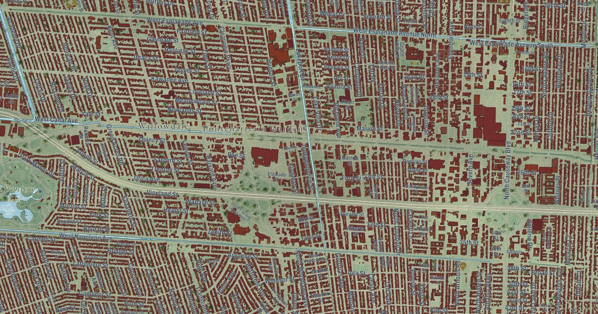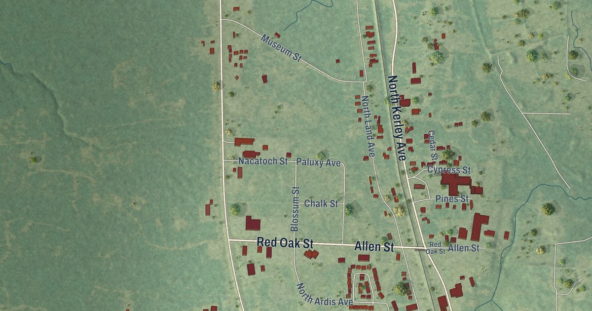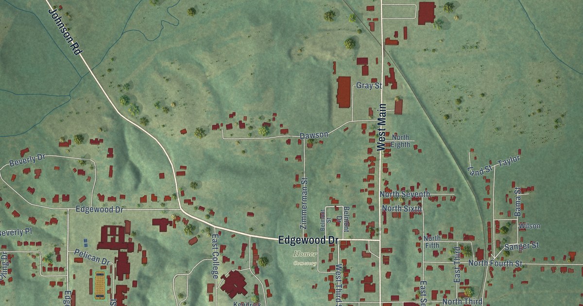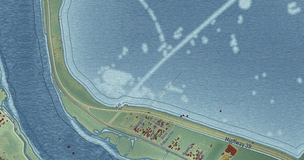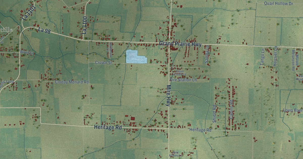
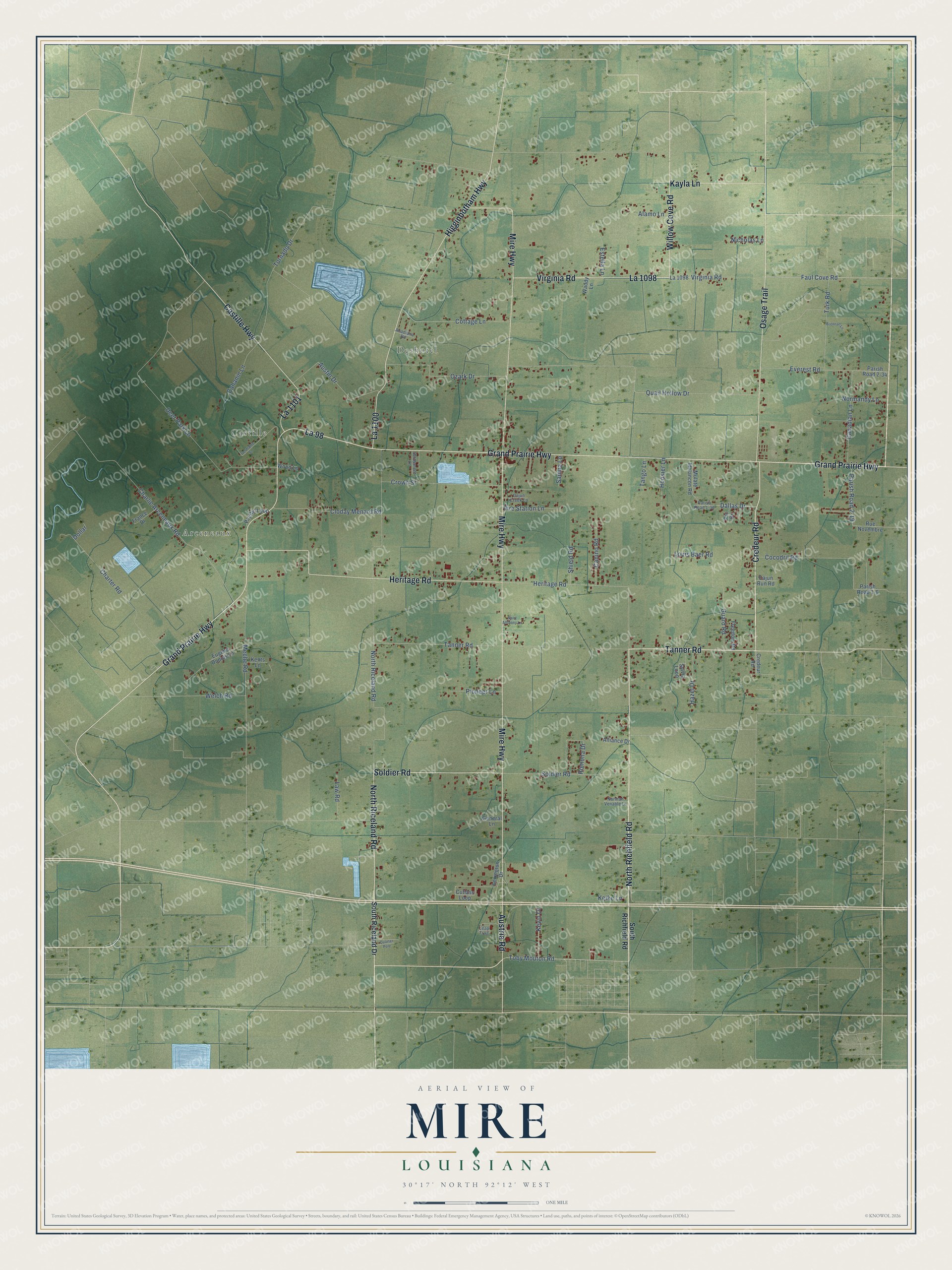
This beautifully detailed map of Mire, Louisiana was created in 2026 using aerial imagery combined with modern topographical, census, street and landmark data. It’s a one-of-a-kind view of Mire that combines accurate data with a vintage aesthetic. The map shows every building in its true location, many of the roads carry their names, and the shaded topographic relief shows the shape of the land.
Explore an aerial view of Mire, Louisiana
On the map you’ll find Arceneaux, Castille, Deshotel, and La 98, along with Credeur Road, North Richfield Road, Tanner Road, Osage Trail, North Riceland Road, Soldier Road, Mire Highway, Castille Highway, and more. If you look closely you can even find your house accurately drawn in its correct location. Zoom in on the preview to look for yours.
Did You Know?
From the 1925 History of Louisiana: "The first wife of Ricard Morvant was Lucinda Mire, a-native of ‘Lafourche Parish, who died at Jeanerette."
Mire is a community in Acadia Parish.
Take a closer look at the Mire map
Names on this map
These names are printed on this map.
Places: Arceneaux, Castille and Deshotel.
Streets and roads: Credeur Road, North Richfield Road, Tanner Road, Osage Trail, North Riceland Road, Soldier Road, La 98, Mire Highway, Castille Highway, Austria Road, Grand Prairie Highway, Higginbotham Highway.
More street names, A to Z
Acadiana Road, Alamo Lane, Alliance Drive, Austin Drive, Brennan Lane, Cahanin Lane, Cajun Creek Lane, Cajun Run Road, Canadian Lane, Canino Road, Charlie Arceneaux Road, Charter Road, Cloday Menard Road, Cocodril Road, Cottage Lane, Crown Street, Cutlass Loop, Dallas Drive, Deer Park Lane, Dollar, Estella Lane, Eugene Dupuis Lane, Everest Road, Faul Cove Road, Fire Station Lane, France Drive, Freedom Road, General Lane, Germaine Street, Guard Road, Hazel Drive, Heritage Road, Hoosier Lane, Kayla Lane, Keike Lane, Kents Lane, Kevin Drive, La 1098, La 1100, La 1101, Law Road, Leap Frog, Lexington Drive, Louis Baer Road, Meche Road, Mulate Melancon Road, Nicholas Lane, Normandy Lane, Norman Venable Lane, Ozark Drive, Pacific Loop, Parish Road 1-6, Parish Road 1-36, Parish Road 2-19, Parish Road 2-34, Pic Drive, Pioneer Lane, Quail Hollow Drive, Quarter Pole, Romona Drive, Rue Novembre, Saint Anthony Lane, Samba Lane, Settlement Lane, Shield Road, South Riceland Drive, South Richfield Road, Sylvia Loop, Tango Lane, Toby Mouton Road, Tornado Drive, Turk Road, Virginia Road, Waddy Lane, Welch Road, Willow Cove Road, Wood Lane.
See it on a wall
The Mire map as a framed print. Swipe for more.


This beautifully detailed map of Mire makes an attractive addition to your office, library, or den, and it can even be used to teach children the geography and history of the area. It also makes a great gift for anyone with Mire roots. When you’re done exploring, click here to get your copy of the Mire map.