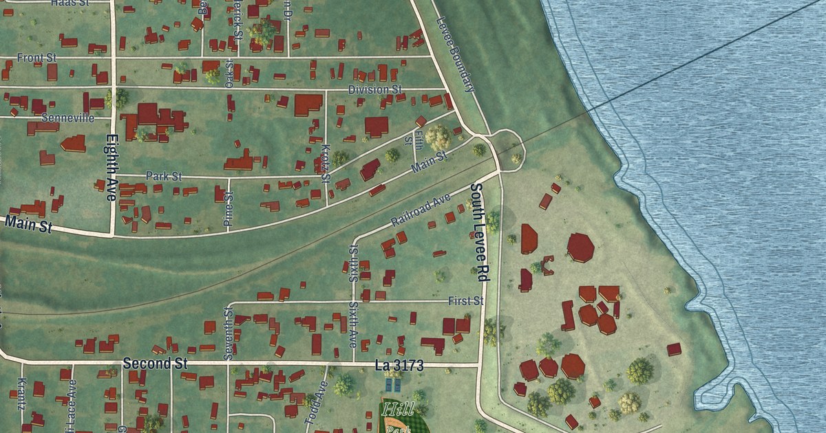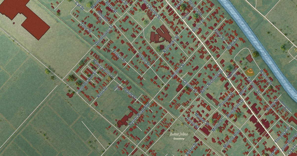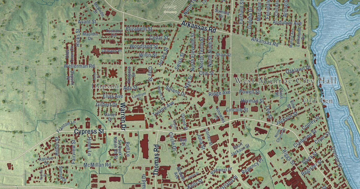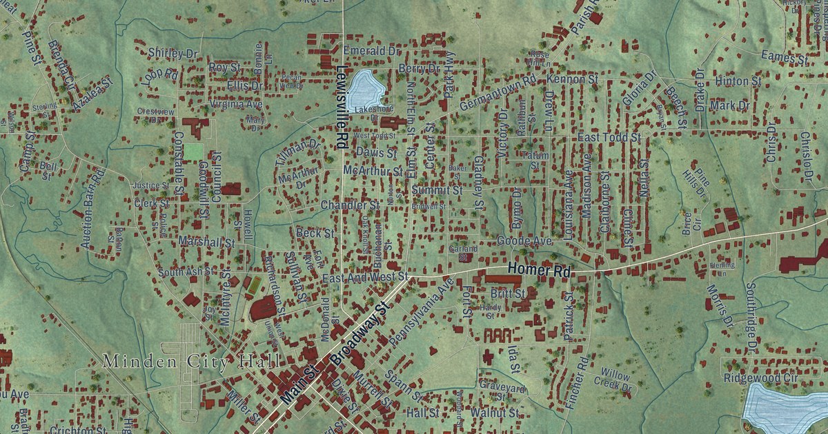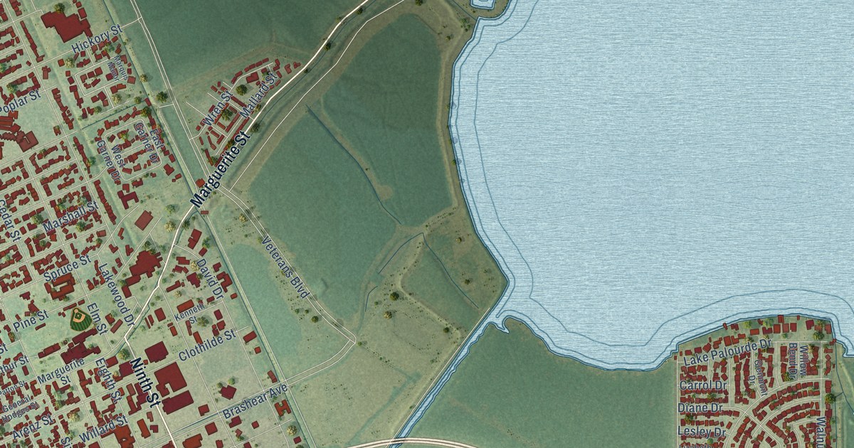
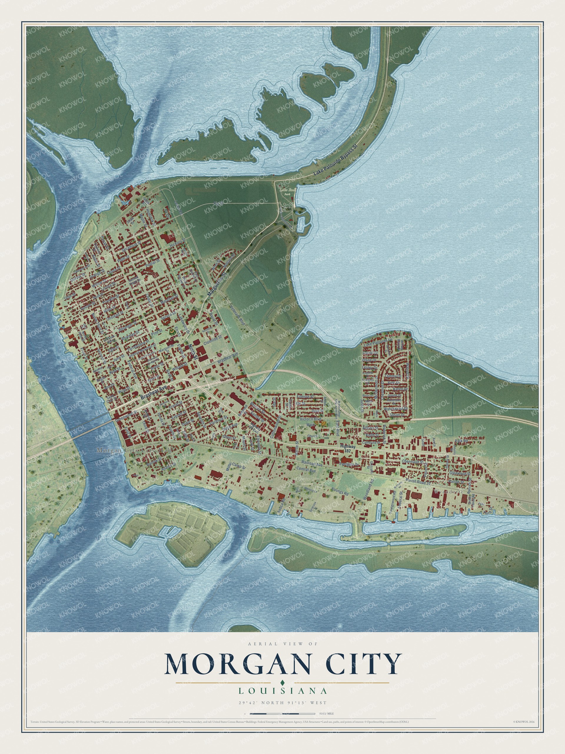
This beautifully detailed map of Morgan City, Louisiana was created in 2026 using aerial imagery combined with modern topographical, census, street and landmark data. It's a modern aerial view of Morgan City in Multiple parishes, Louisiana, that combines modern data with a vintage aesthetic. The roads feature printed names, and if you look closely you can find your exact house accurately shown in its correct location.
Explore an aerial view of Morgan City, Louisiana
On this map you'll find Wyandotte, Lake End Park, Morgan City Cemetery, Brashear Avenue, Ninth Street, Marguerite Street, Lake Palourde Bypass Street, Barrow Street, Fig Street, Adams Street, Federal Avenue, Clothilde Street, and more. Each red shape is a building, so zoom in on the preview and look for yours.
Every town has a first chapter, and Morgan City is no exception. The National Park Service puts it this way: "The seafood industry was also of considerable influence in the economic history of Morgan City. The 1895 Sanborn map, showing a population of 2900, documents various seafood firms in operation (for example, Jacque Lehmann Sons Oyster Depot, John Dalton Oyster Depot, and E. Bass Oyster Depot)."
Morgan City is a city in Multiple parishes. The Census Bureau counted 11,472 people here in 2020.
Take a closer look at the Morgan City map
Names on this map
These names are printed on this map.
Places: Morgan City City Hall, Wyandotte, Lake End Park and Morgan City Cemetery.
Streets and roads: Brashear Avenue, Ninth Street, Marguerite Street, Lake Palourde Bypass Street, Barrow Street, Fig Street, Adams Street, Federal Avenue, Clothilde Street, Railroad Avenue, Main, Veterans Boulevard.
More street names, A to Z
Allison Street, Amber Street, Amelia Street, Ann Drive, Apple Street, Arenz Street, Arizona Street, Ash Street, Aucoin Street, Avoca, Avoca Road, Aycock Street, Belanger Street, Bernice Street, Bowman Street, Brownell Street, Bush Street, Carrol Drive, Catherine Street, Cedar Street, Central Avenue, Chennault Street, Chestnut Drive, Church, Clements Street, Cottonwood Street, Cypress Street, Dale Street, David Drive, Diane Drive, Ditch Avenue, Dugas Street, Duke, Duke Street, East Boulevard, East Garner Drive, Eastgate Drive, Egle Street, Eighth Street, Eleventh Street, Elk Street, Ellzey Street, Elm Street, Everett Street, Federal Street, Fifth Street, Filmore Street, Fir Drive, First Street, Florence Street, Florida Street, Fourth Street, Frances Drive, Franklin Street, Freret Street, Front Street, Garber Street, Garden Street, General Hodges Street, General McArthur Street, General Patton Street, Glenmont Drive, Glenwood Street, Great Lakes Road, Greenwood Street, Grizzaffi Street, Grove Street, Halsey Street, Helen Drive, Hemlock Street, Hickory Street, Highway 182, Highway 182 East, Hilda Street, Ibert Street, Idaho Street, Ida Street, Industry Road, Iowa Street, Jake, Jennie Drive, Julia Street, Justa Street, Karen Drive, Keith Street, Kenneth Street, Kidd Street, Lake Palourde Drive, Lakewood Drive, Lawrence Street, Leona Street, Lesley Drive, Levee Road, Lizabeth Drive, Louisa Street, Mallard Street, Maple Street, Mark Drive, Marquis Manor, Marshall Street, Martin Luther King Junior Boulevard, Maryland Street, McClellan Road, McDermott Drive, Memory Lane, Middle Street, Mobil Camp Street, Mount Street, Myrtle Street, North First Street, North Third Street, Oak Street, Ohio Street, Oil Tank Alley, Onstead Street, Orange Street, Palm Street, Parish Road 10, Park Road, Patton Street, Pecan Street, Pecos Street, Pine Street, Poncio Street, Poplar Street, Redwood Street, Roderick Street, Roselawn Drive, Sacred Heart Drive, Saint Clair Street, Sandra Street, Scott, Second Street, Seventh Street, Shaw Drive, Shaw Street, Short Street, Sixth Street, South Lakeshore Road, Spruce Street, Susan Drive, Sycamore Street, Syracusa Street, Tammy Drive, Terrebonne Street, Third, Third Street, Utah Street, Victor II Boulevard, Vine Drive, Walnut Drive, West Garner Drive, Willard Street, Willow Bend Drive, Willow Street, Wise Street, Woodland Road, Wren Street, Wytchwood Drive, Youngs Road, Youngswood Road.
Created by KNOWOL in 2026. The buildings are small red shapes, the roads carry their printed names, and shaded relief shows the shape of the land. The title panel reads "AERIAL VIEW OF MORGAN CITY LOUISIANA" with 29°42' NORTH 91°13' WEST.
Hang it in the hallway, the office or the cabin, or give it to someone who left Morgan City and still calls it home. Open the preview and look for a street you know. See sizes and frames for the Morgan City map.