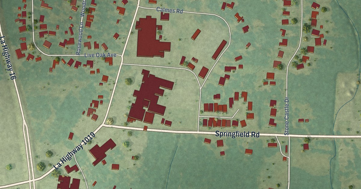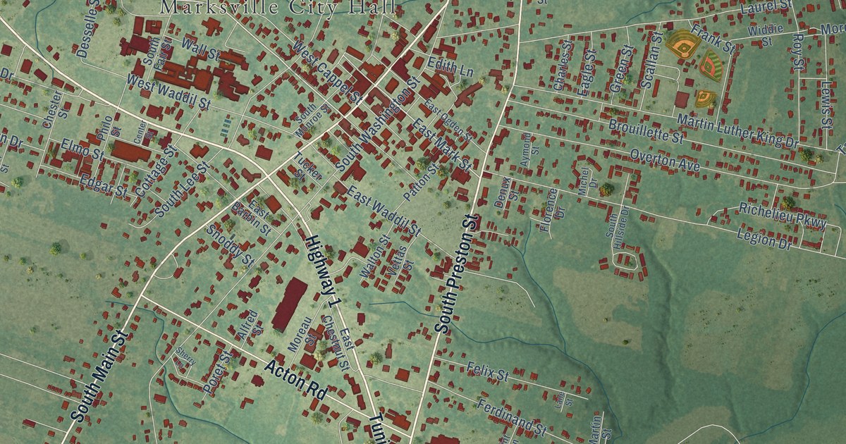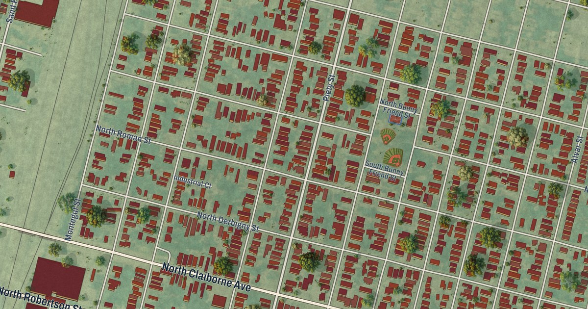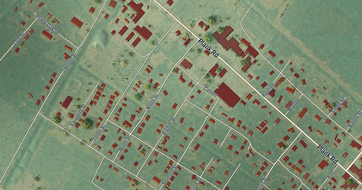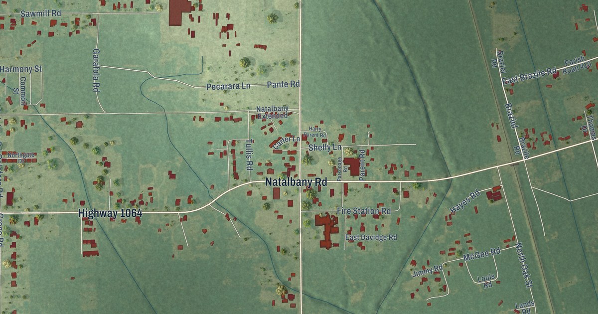
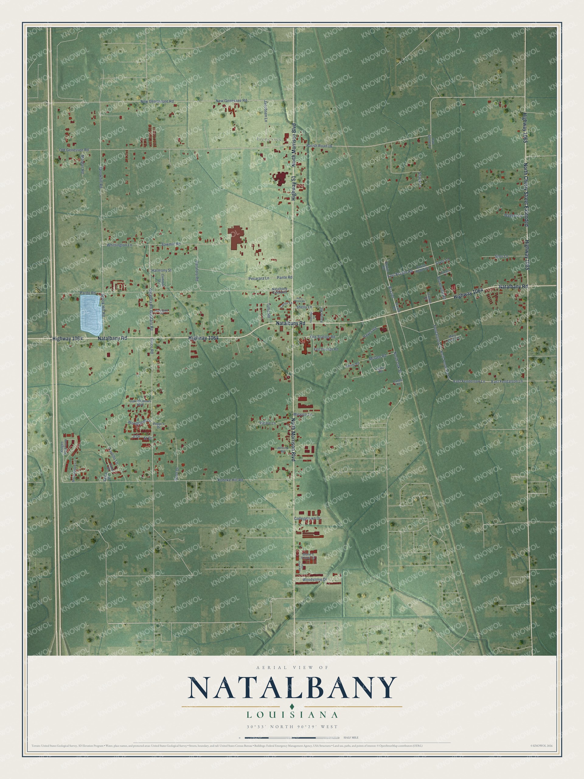
This beautifully detailed map of Natalbany, Louisiana was created in 2026 using aerial imagery combined with modern topographical, census, street and landmark data. It's a modern aerial view of Natalbany in Tangipahoa Parish, Louisiana, that combines modern data with a vintage aesthetic. The roads feature printed names, and if you look closely you can find your exact house accurately shown in its correct location.
Explore an aerial view of Natalbany, Louisiana
On this map you'll find Genessee, Natalbany Road, Highway 1064, North Morrison Boulevard, North Cherry Street Extended, Highway 51, Highway 1065, Galafaro Road, Galafora Road, East Brazile Road, Braziel, Greco Road, and more. Each red shape is a building, so zoom in on the preview and look for yours.
Natalbany has a story worth telling. In 1894 the Natalbany Lumber Company bought the Live Oak Mill at Natalbany, 3 miles north of Hammond, along with its narrow gauge logging railroad. Owned by the Denkmann lumber syndicate of Rock Island, Illinois, the company greatly expanded the mill, and its logging line became the New Orleans, Natalbany and Natchez Railroad, which reached Grangeville by 1916. The mill at Natalbany burned in 1938, and the railroad was abandoned soon after. That's from the Mississippi Rails railroad history site.
Natalbany is a community in Tangipahoa Parish. The Census Bureau counted 2,510 people here in 2020. Natalbany sits about 2 miles south of Tickfaw, 4 miles northwest of Hammond and 6 miles south of Independence. The map prints the town name in its title panel, with the coordinates below it.
Take a closer look at the Natalbany map
Names on this map
These names are printed on this map.
Places: Genessee.
Streets and roads: Natalbany Road, Highway 1064, North Morrison Boulevard, North Cherry Street Extended, Highway 51, Highway 1065, Galafaro Road, Galafora Road, East Brazile Road, Braziel, Greco Road, East Fendalson Lane.
More street names, A to Z
Braziel Road, Brazile Road, Brownville Road, Carter Lane, Collegetown Drive, Common Street, Cryer Lane, East Davidge Road, East Fenderson Lane, Et Drive, Fendalson Lane, Fire Station Road, Garafola Road, Harmony Street, Harry Parent Road, Hayes Road, Jacobsen Lane, Jericho Road, Jimmy Road, Jt Drive, Kohnke Hill Road, Krogen Kove Loop, Lands Road, Lazy Creek Road, Louis Road, Mary Lloyd Lane, McGee Road, Milazzo Lane, Monteleone Lane, Morgan Road, Natalbany Extended, New Genessee Road, New Gennessee Road, North Fenderson Lane, Northgate Drive, North Oak Street, Oak Grove Lane, Oak Meadows Boulevard, Old Genessee Road, Orleans Lane, Pante Road, Pardo Road, Parent Road, Parish Road 18, Parish Road 410, Parsonage Road, Pecarara Lane, Peppi's Drive, Sam's Drive, Sams Drive, Sawmill Road, Scott Drive, Shady Lane, Shelly Lane, Sims Lane, Spook Hill Road, Spookhill Road, Stone's Throw Circle, Tantillo Lane, Thomas Drive, Tullis Road, Vicaro Lane, Wagner Lane, Whittington Lane, Woodlands Drive, Woodstone Drive.
See it on a wall
The Natalbany map as a framed print. Swipe for more.


Created by KNOWOL in 2026. The buildings are small red shapes, the roads carry their printed names, and shaded relief shows the shape of the land. The title panel reads "AERIAL VIEW OF NATALBANY, LOUISIANA" with 30°33' NORTH 90°29' WEST.
It looks right in a kitchen, an office or a den, and it's a gift for anyone who grew up in Natalbany or moved away. Open the preview and find your street. See sizes and frames for the Natalbany map.