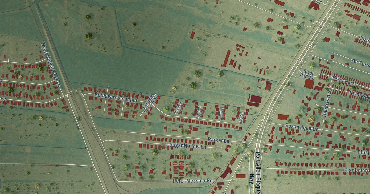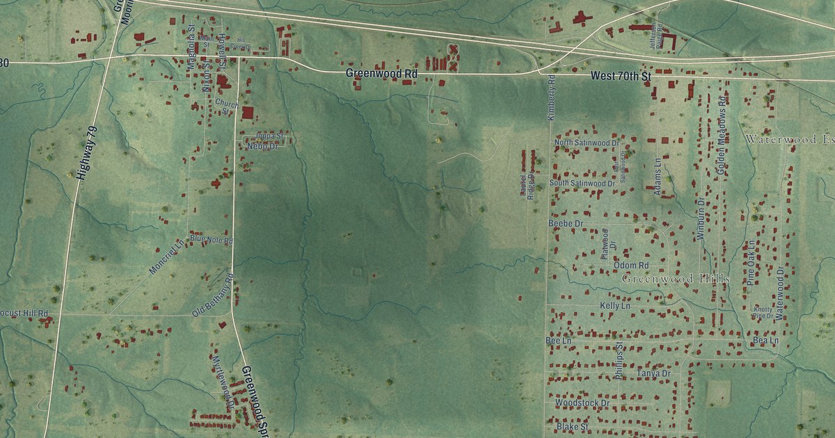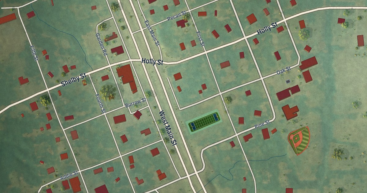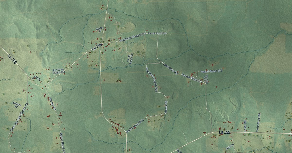
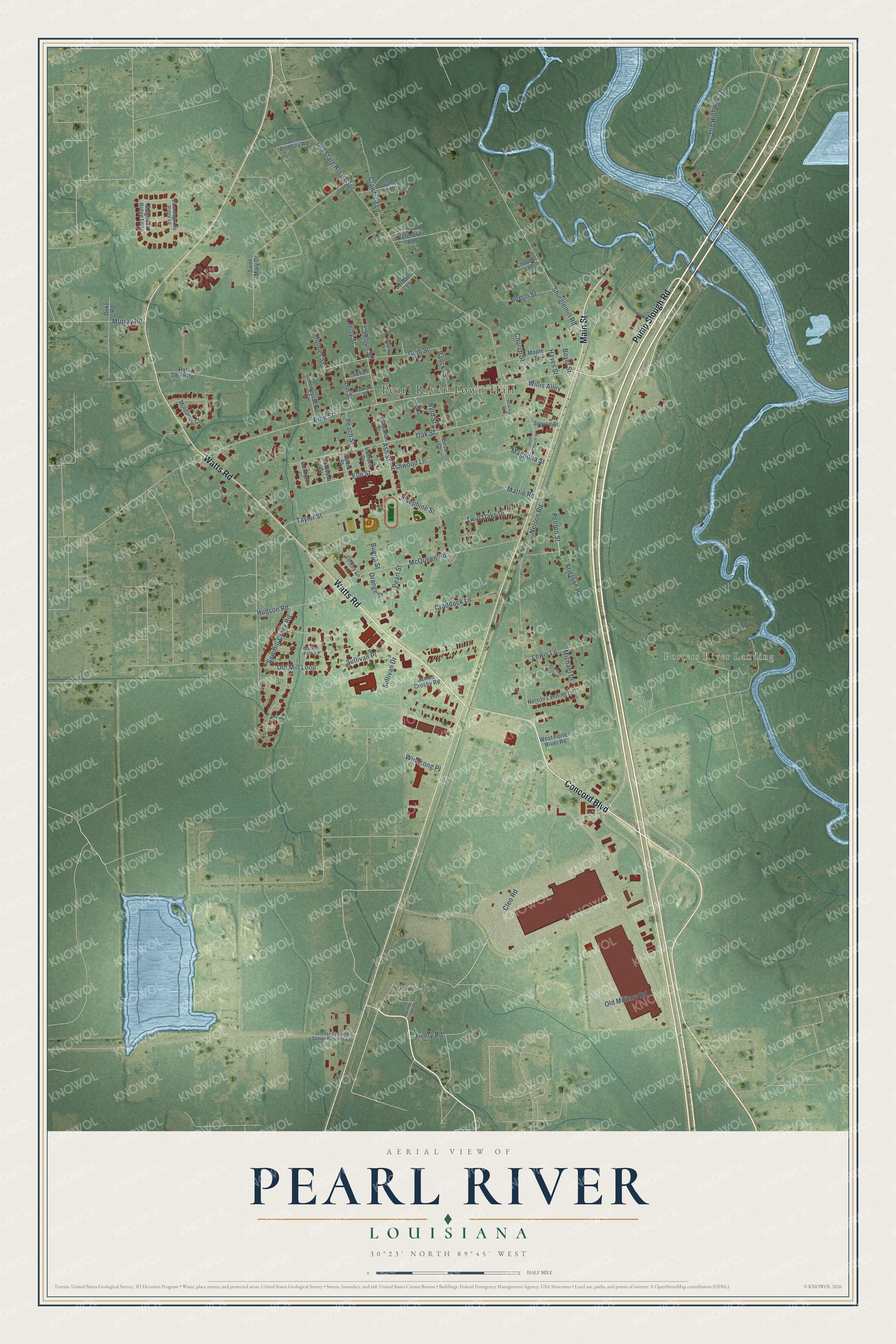
This beautifully detailed map of Pearl River, Louisiana was created in 2026 using aerial imagery combined with modern topographical, census, street and landmark data. It's a modern aerial view of Pearl River in St. Tammany Parish, Louisiana, that combines modern data with a vintage aesthetic. The roads feature printed names, and if you look closely you can find your exact house accurately shown in its correct location.
Explore an aerial view of Pearl River, Louisiana
On this map you'll find Pearl River Town Hall, Porters River Landing, Saint Joe, Watts Road, Concord Boulevard, Pump Slough Road, Main Street, Cleo Road, Elm Street, Penton Street, Ash Street, Pine Street, and more. Each red shape is a building, so zoom in on the preview and look for yours.
Pearl River has a story worth telling. The Century Historical Association puts it this way: "Pearl River, a village of St. Tammany parish, is a station on the New Orleans & Northeastern R. R., 8 miles northeast of Slidell. It is located at the edge of the pine and alluvial farming country and is the shipping point for both."
Pearl River is a town in St. Tammany Parish. The Census Bureau counted 2,565 people here in 2020.
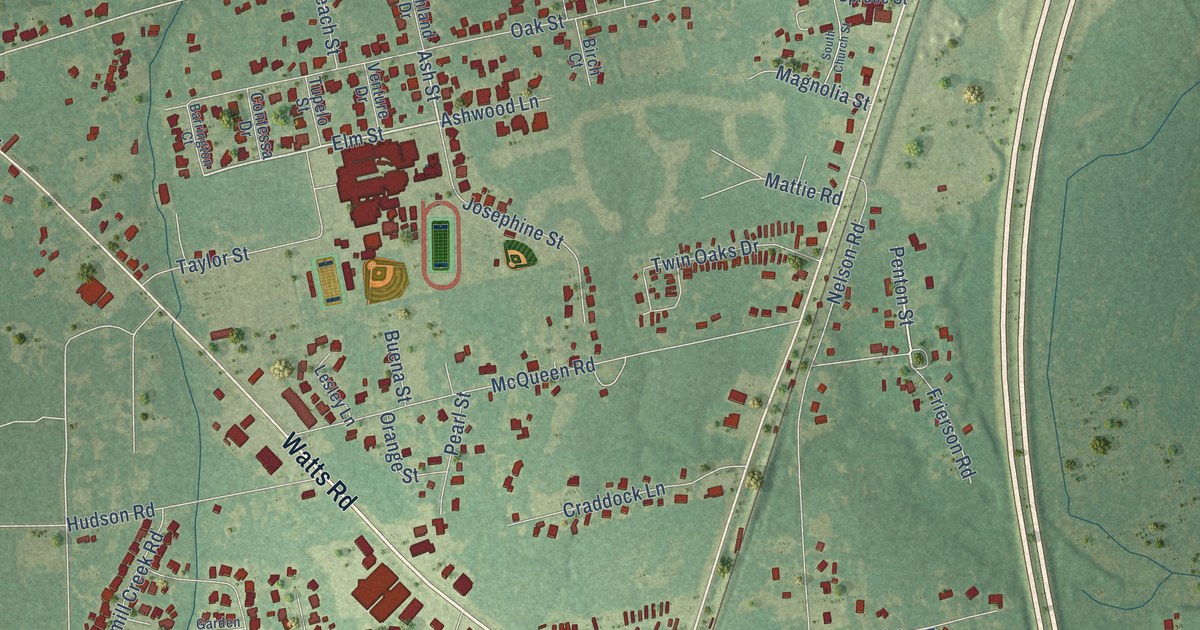
Take a closer look at the Pearl River map
Names on this map
These names are printed on this map.
Places: Pearl River Town Hall, Porters River Landing and Saint Joe.
Streets and roads: Watts Road, Concord Boulevard, Pump Slough Road, Main Street, Cleo Road, Elm Street, Penton Street, Ash Street, Pine Street, Gum Street, Old State Route 41 Spr, Old Military Road.
More street names, A to Z
Ann Street, Ashwood Lane, Bancks Street, Barrington Court, Beech Street, Birch Court, Boyet Street, Buena Street, Byrd Street, Calhoun Street, Church Street, Contessa Drive, Cooper Lane, Cornibe Road, Craddock Lane, Crawford Lane, Doctor Tj Smith Senior Expressway, Duke Road, East Magnolia Ridge Lp, Frierson Road, Garden Park Lane, Gracie Lane, Hayes Street, Henry Road, Hickory Street, Holmes Street, Honeysuckle Lane, Hudson Road, James Crosby Road, Jennifer Lane, Jerry Street, John Anthony Road, Jordan's Lane, Josephine Street, Lesley Lane, Lewis Lane, Magnolia Ridge Loop, Magnolia Street, Maple Street, Mattie Road, McQueen Road, Michael Drive, Moldaner Court, Murray Road, Nelson Landing Drive, Nelson Road, Oak Street, Okefenokee Road, Old Highway 11, Old Mill Loop, Orange Street, Patricia Street, Pat Smith Road, Peach Street, Pearl Street, Richland Drive, Saint Mary Drive, Sawmill Creek Road, Shinglemill Road, South Church Street, Spruce Street, Sullivan Drive, Sullivan Place, Susan Street, Swann Lane, Swann Road, Taylor Street, Tupelo Street, Twin Oaks Drive, Venture Drive, West Porter River Road, Williams Street, Willis Alley, Windsong Place.
Created by KNOWOL in 2026. The buildings are small red shapes, the roads carry their printed names, and shaded relief shows the shape of the land. The title panel reads "AERIAL VIEW OF PEARL RIVER LOUISIANA" with 30°23' NORTH 89°45' WEST.
It looks right in a kitchen, an office or a den, and it's a gift for anyone who grew up in Pearl River or moved away. Open the preview and find your street. See sizes and frames for the Pearl River map.