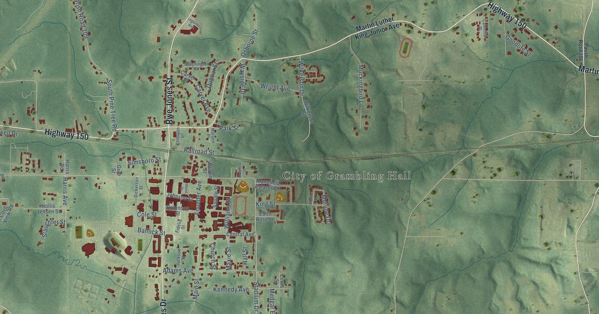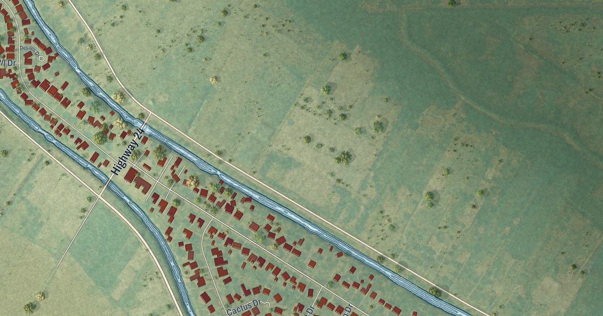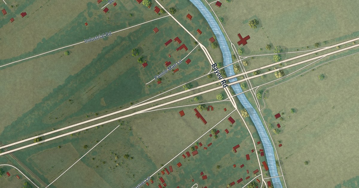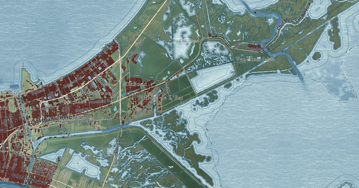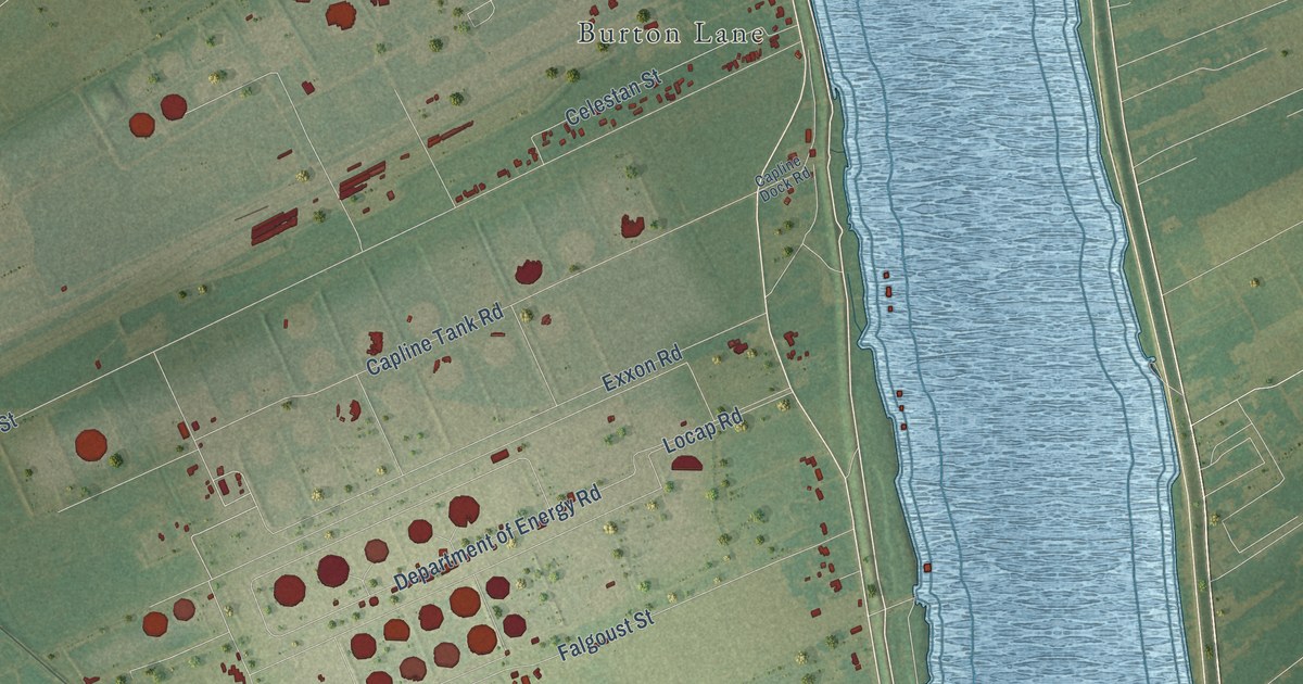
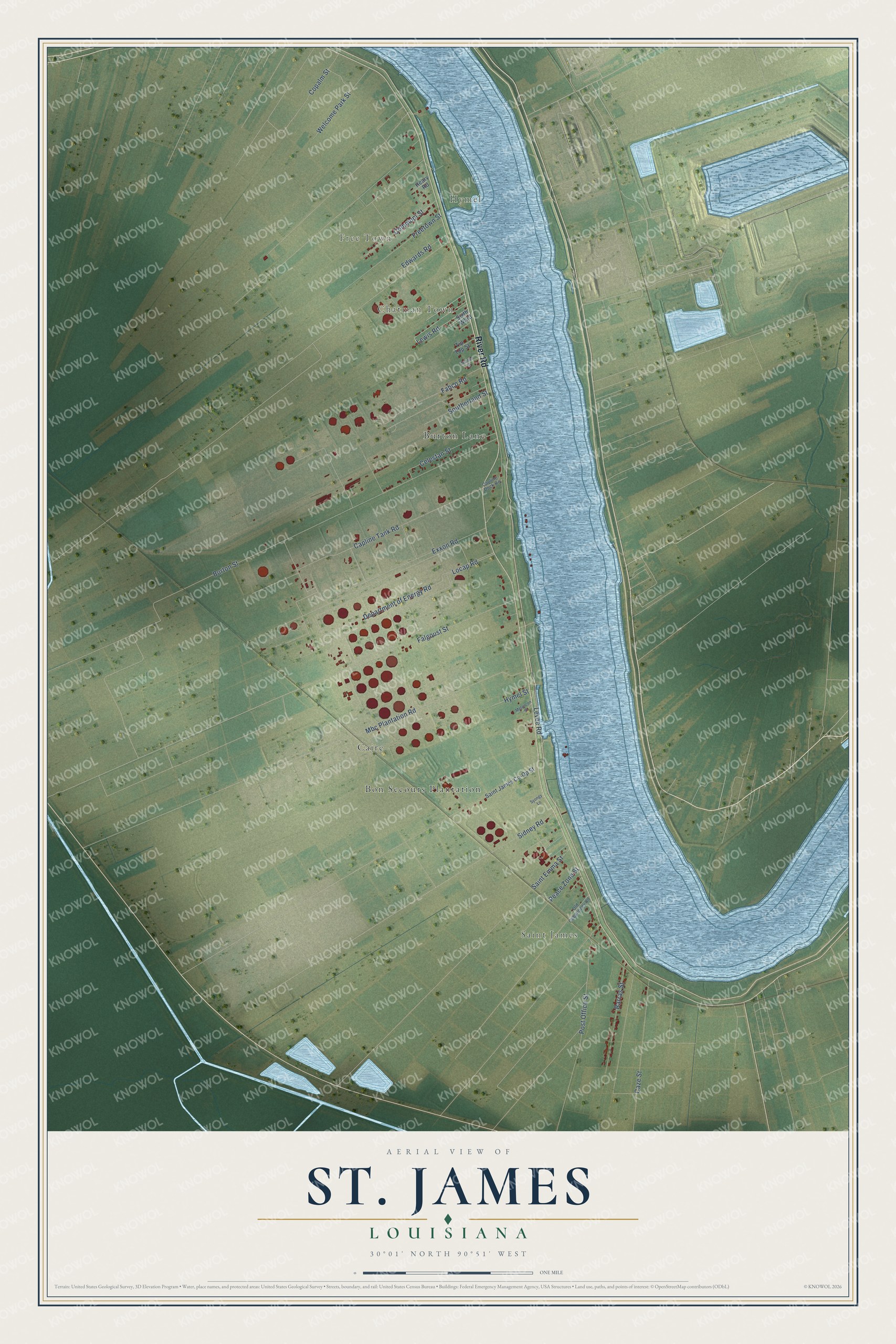
This beautifully detailed map of St. James, Louisiana was created in 2026 using aerial imagery combined with modern topographical, census, street and landmark data. It's a modern aerial view of St. James in St. James Parish, Louisiana, that combines modern data with a vintage aesthetic. The roads feature printed names, and if you look closely you can find your exact house accurately shown in its correct location.
Explore an aerial view of St. James, Louisiana
On this map you'll find Hymel, Saint James, Free Town, Chatman Town, Caire, Burton Lane, Bon Secours Plantation, River Road, Fabco Road, Burton Street, Locap Road, Capline Tank Road, and more. Each red shape is a building, so zoom in on the preview and look for yours.
Here is a piece of St. James history. St. James takes its name from Jacques Cantrelle, who settled in what is now St. James Parish in 1764 or 1765, on land granted by the French. He built the little frame Church of St. James, named for his patron saint, and was buried beneath its altar. The church's name passed to the community and then to the whole parish when it was created in 1807. Cantrelle called his home Cabahannocer, a Choctaw word meaning mallard's roost, and St. James was the oldest settlement in the parish. That's from the Louisiana State University Press.
St. James is a community in St. James Parish. The Census Bureau counted 592 people here in 2020.
Take a closer look at the St. James map
Names on this map
These names are printed on this map.
Places: Hymel, Saint James, Free Town, Chatman Town, Caire, Burton Lane and Bon Secours Plantation.
Streets and roads: River Road, Fabco Road, Burton Street, Locap Road, Capline Tank Road, Mbc Plantation Road, Falgoust Street, Department of Energy Road, Exxon Road, Post Office Street, Freetown Street, Caze Street.
More street names, A to Z
Barras Street, Capline Dock Road, Celestan Street, Communi Street, Copalm Street, Edwards Road, Granier Street, Heary Road, Hymel Street, Levee Road, Lewis Road, Melancon Street, Old Cabanocey Road, Peace Zone Street, Saint Emma Street, Saint James Co-Op Street, Sidney Road, Sixth Ward, Southerland Street, Syongy Lane, Tip Top Street, Welcome Park Street.
See it on a wall
The St. James map as a framed print. Swipe for more.


Created by KNOWOL in 2026. The buildings are small red shapes, the roads carry their printed names, and shaded relief shows the shape of the land. The title panel reads "AERIAL VIEW OF ST. JAMES, LOUISIANA" with 30°01' NORTH 90°51' WEST.
It suits a den, a classroom or a front hall, and it makes a gift for anyone with St. James roots. Open the preview and find the block you know. See sizes and frames for the St. James map.