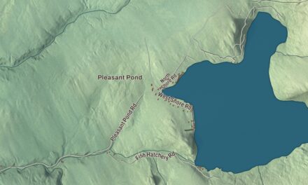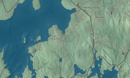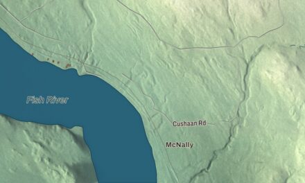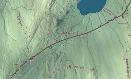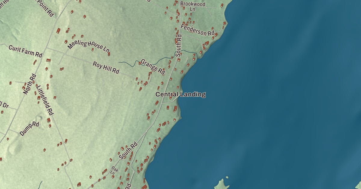
South Road and North Road are printed on this map of Chebeague Island, Maine, and the landings are printed too: Central Landing and Jenks Landing, Sunset Landing and Western Landing. John Small Road, Littlefield Road, Cottage Road and Roy Hill Road carry their names as well. Click here to purchase a print of this map for your wall.
Chebeague Island is a town in Cumberland County, with 396 year-round people at the 2020 census.
KNOWOL made this map in 2026 from public survey data and gave it the look of an old atlas. The island’s rise and fall is shaded from United States Geological Survey elevation data, and the roads and town line come from the Census Bureau. The bureau counts 24.56 square miles in the town, but only 3.56 of them are land; the other 21.00 are water. Fifteen islands and parts of two more belong to the town, and Great Chebeague, about 3 miles long and 1 mile wide, is the largest island in Casco Bay with no bridge to the mainland.
An island town since 2007
Chebeague Island was part of the town of Cumberland for 184 years. In 2002 islanders began to explore leaving, and the effort gained ground after the school district considered downsizing the island’s elementary school. On April 5, 2006, the Maine Senate voted 31 to 3 and the House 131 to 1 to let them go, and on July 1, 2007, the Town of Chebeague Island was born. It still runs itself by town meeting, with registered voters deciding budgets and ordinances.
The name grew out of Chebiscodego, the name used by people of the Wabanaki Confederacy. Historians have offered “island of many springs” as one meaning; other sources trace it to Abenaki words for a cold spring, or for “separated,” a nod to how Great and Little Chebeague are joined. In the early days Native people came by canoe in summer to fish and gather shellfish for the winter. Walter Merry of Boston bought the island by 1650, and later owners raised livestock on a farm of 1,400 acres in its northern section.
Early island work was fishing, farming and building “stone sloops,” ships that carried quarried granite down the East Coast for breakwaters and lighthouses. Then came the summer people. By 1900 Great Chebeague had five hotels, and tourists arrived on steamboats from Portland. In 1963 Maine voters turned down a bridge to the island by 70 to 30 percent, and in 1971 the Chebeague Transportation Company was formed to run a ferry to Cousins Island.
Islanders made news in 1997, when they helped convince Nabisco to reverse its decision to stop making Crown Pilot Crackers, a chowder cracker, and Nabisco gave $1,000 to the Chebeague Historical Society. David Dodd, who took the notes for Benjamin Graham’s lectures at Columbia that became the 1934 book Security Analysis, was living on Chebeague Island when he died in 1988.
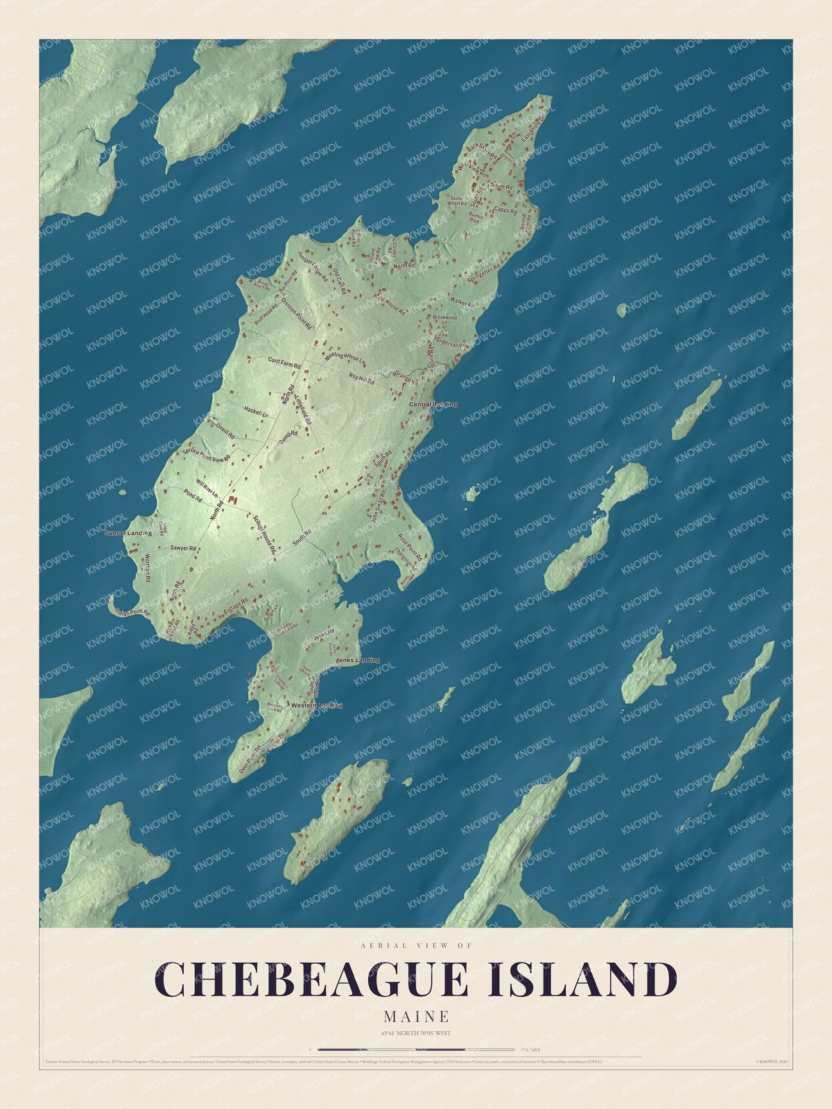
Click to explore a larger preview. The digital watermark does not appear on printed maps.
See it on a wall
The Chebeague Island map as a framed print. Swipe for more.


Along South Road and North Road
South Road and North Road are printed on the map. Together they link the roads across the island, and as of 2010 Great Chebeague had about nine miles of paved road and three miles of gravel, some of it only one car wide. Most year-round islanders drive “island cars” that need registration but no license plates.
On South Road near the island’s northern tip is the Chebeague Island Inn, built in the 1880s as the Hillcrest Hotel. It burned in the early 20th century, was rebuilt in 1925 and got its current name in 2000. The inn overlooks part of the Great Chebeague Golf Club, nine holes laid out in the 1920s, whose clubhouse is a Cape built around 1807, probably one of the oldest buildings in the nation used for that purpose. Close by is the Stone Wharf, where the ferry leaves for Cousins Island.
The schoolhouse built in 1871 still stands and holds a museum of Chebeague Island history. The Chebeague Community Church, the island’s only house of worship, traces its roots to 1802, and its building dates to 1855.
Central Landing and Jenks Landing are printed on the map, and so are Sunset Landing and Western Landing. John Small Road, Littlefield Road, Cottage Road and Roy Hill Road are printed too. Little Chebeague, joined to Great Chebeague by a sandbar at low tide, is open to the public as part of the Maine Island Trail.
This Chebeague Island map makes a fine addition to an office, library or den, and it can help teach children the geography and history of the area. It’s made for everyone who calls Chebeague Island home, from Central Landing to Roy Hill Road, as it looks today. Zoom in on the preview above to explore the details, then click here to get your copy of the Chebeague Island, Maine map.

Sources