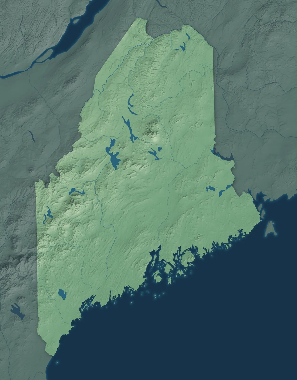
Maine Town Maps A to Z
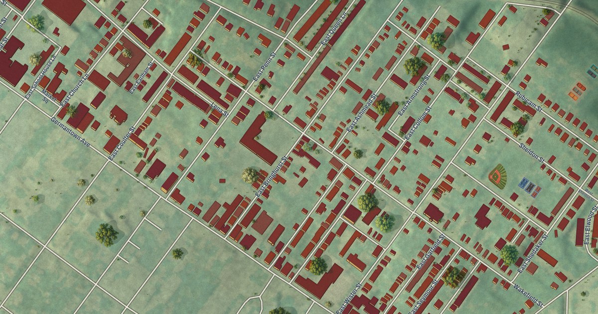
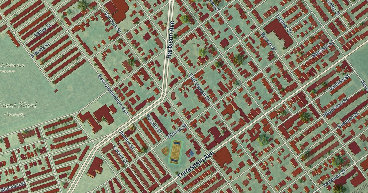
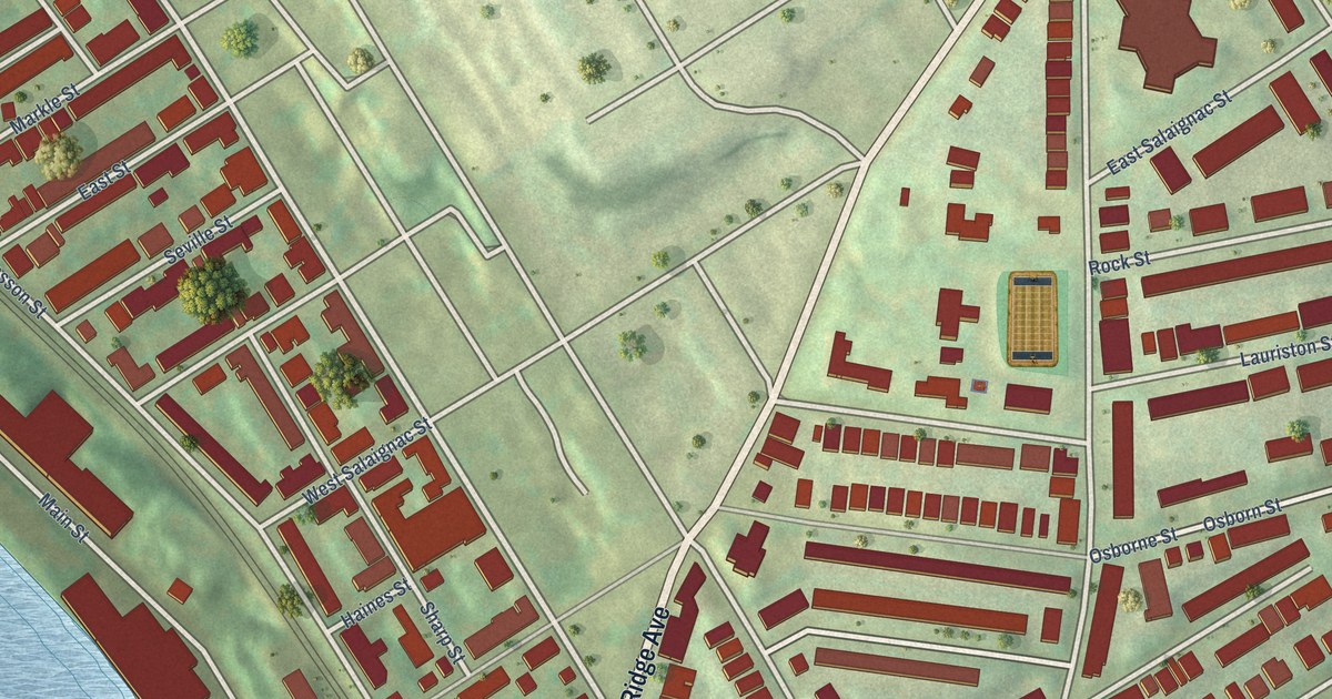
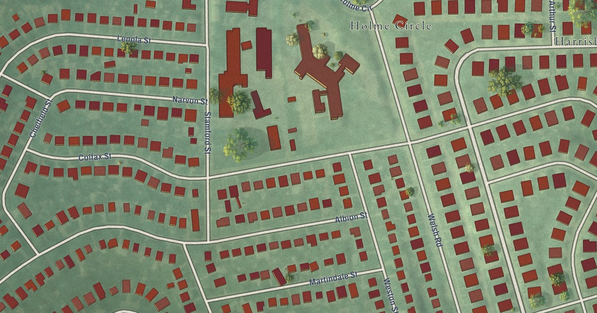
All 519 town maps, from Abbot to York Harbor. Each one opens its own page with the whole map.
A
B
- Baileyville
- Baldwin
- Bangor
- Bar Harbor
- Baring
- Bath
- Beals
- Beaver Cove
- Beddington
- Belfast
- Belgrade
- Belmont
- Benton
- Berwick
- Bethel
- Biddeford
- Bingham
- Blaine
- Blue Hill
- Blue Point
- Bonny Eagle
- Boothbay
- Boothbay Harbor
- Bowdoin
- Bowdoinham
- Bowerbank
- Bradford
- Bradley
- Bremen
- Brewer
- Bridgewater
- Bridgton
- Brighton
- Bristol
- Brooklin
- Brooks
- Brooksville
- Brownfield
- Brownville
- Brownville Junction
- Brunswick
- Buckfield
- Bucksport
- Burlington
- Burnham
- Buxton
- Buxton Center
- Byron
C
- Calais
- Cambridge
- Camden
- Canaan
- Canton
- Cape Elizabeth
- Cape Neddick
- Caratunk
- Caribou
- Carmel
- Carrabassett Valley
- Carroll
- Carthage
- Casco
- Castine
- Castle Hill
- Caswell
- Chapman
- Charleston
- Charlotte
- Chebeague Island
- Chelsea
- Cherryfield
- Chester
- Chesterville
- China
- Chisholm
- Clifton
- Clinton
- Columbia
- Columbia Falls
- Cooper
- Coplin
- Corinna
- Corinth
- Cornish
- Cornville
- Cousins Island
- Cranberry Isles
- Crawford
- Crystal
- Cumberland
- Cumberland Center
- Cushing
- Cutler
- Cyr
D
E
F
G
H
I
J
K
L
M
- Machias
- Machiasport
- Macwahoc
- Madawaska
- Madison
- Manchester
- Mapleton
- Maranacook
- Mariaville
- Mars Hill
- Marshfield
- Masardis
- Mast Landing
- Matinicus
- Matinicus Isle
- Mattawamkeag
- Maxfield
- Mechanic Falls
- Meddybemps
- Medford
- Medway
- Mercer
- Merrill
- Mexico
- Milbridge
- Milford
- Millinocket
- Milo
- Minot
- Monhegan
- Monmouth
- Monroe
- Monson
- Monticello
- Montville
- Moose River
- Moro
- Morrill
- Moscow
- Mount Chase
- Mount Desert
- Mount Vernon
N
O
P
R
S
- Sabattus
- Saco
- Sandy River
- Sanford
- Sangerville
- Scarborough
- Searsmont
- Searsport
- Sebago
- Sebec
- Seboeis
- Sedgwick
- Shapleigh
- Sherman
- Shirley
- Sidney
- Skowhegan
- Smithfield
- Smyrna
- Solon
- Somerville
- Sorrento
- South Berwick
- South Bristol
- South Eliot
- South Paris
- South Portland
- South Thomaston
- South Windham
- Southport
- Southwest Harbor
- Springfield
- St. Agatha
- St. Albans
- St. Francis
- St. George
- St. John
- Stacyville
- Standish
- Starks
- Steep Falls
- Stetson
- Steuben
- Stockholm
- Stockton Springs
- Stoneham
- Stonington
- Stow
- Stratton
- Strong
- Sullivan
- Sumner
- Surry
- Swans Island
- Swanville
- Sweden
T
U
V
W
- Wade
- Waite
- Waldo
- Waldoboro
- Wales
- Wallagrass
- Waltham
- Warren
- Washburn
- Washington
- Waterboro
- Waterford
- Waterville
- Wayne
- Webster
- Weld
- Wellington
- Wells
- Wesley
- West Bath
- West Forks
- West Gardiner
- West Kennebunk
- West Paris
- Westbrook
- Westfield
- Westmanland
- Weston
- Westport Island
- Whitefield
- Whiting
- Whitneyville
- Willimantic
- Wilton
- Windham
- Windsor
- Winn
- Winslow
- Winter Harbor
- Winterport
- Winterville
- Winthrop
- Wiscasset
- Woodland
- Woodstock
- Woodville
- Woolwich
Y
Don’t see your town? Ask us to draw it.
About Maine
Maine is the most forested state in the country. Its coast stretches from the sand beaches of York County to Lubec at the Canadian border, with thousands of islands offshore. Inland are lakes, mountains and the North Woods. Maine was part of Massachusetts until 1820, when it became the 23rd state as part of the Missouri Compromise.
Nearly 4 in 10 Mainers live around Portland. Elsewhere, towns grew up as fishing harbors and shipyards on the coast, mill towns at the falls of the big rivers, and farm and logging towns inland. The Wabanaki nations, the Penobscot, Passamaquoddy, Maliseet and Mi'kmaq, have lived here for thousands of years.
- Statehood
- March 15, 1820
- Capital
- Augusta
- Population
- 1,414,8742025 Census estimate
- Highest point
- Mount Katahdin, 5,270 feet
- Lowest point
- Atlantic Ocean, sea level
- Size
- 35,380 square miles, the 39th largest state
Portland and Southern Maine
Kittery, York, Ogunquit, Wells and the Kennebunks line the sand beaches of the south coast, and Portland sits on Casco Bay to the north. The Portsmouth Naval Shipyard is actually in Kittery, and the Navy has worked there since 1800. Portland Head Light in Cape Elizabeth, first lit in 1791, is the oldest lighthouse in Maine. In 1912, L.L.Bean opened in Freeport selling just one thing, a hunting boot.


The Midcoast and Islands
The Midcoast runs from Bath to Belfast, a coast of rocky points and harbor towns like Boothbay Harbor, Damariscotta, Rockland and Camden. English colonists came to Popham, in what's now Phippsburg, in 1607. They built the Virginia there, the first English oceangoing ship made in the Americas. Bath has built ships since 1743 and still builds Navy warships, and painters have spent summers on Monhegan Island since the 1800s.


Down East and Acadia
Down East runs from Ellsworth and Mount Desert Island to the Canadian border, past fishing harbors, islands and blueberry fields. The name comes from sailing days, when ships from Boston sailed downwind and east to get here. Bar Harbor is the gateway to Acadia, the first national park east of the Mississippi. In 1775, Machias men captured the British ship Margaretta in one of the Revolution's first sea fights, and Lubec's West Quoddy Head is the easternmost point of the lower 48.


Bangor and the Maine Highlands
Bangor, Brewer, Orono and Old Town sit along the Penobscot River, and north of them the land climbs through forest to Moosehead Lake and Katahdin. By 1860, Bangor was the world's largest lumber port, with logs floated down the river to its sawmills. The Penobscot Nation's home is Indian Island, in the river at Old Town. Millinocket grew up around a paper mill begun in 1899, and it's the closest town to Katahdin.


Aroostook County
Mainers just call it the County. It's about the size of Connecticut and Rhode Island together, a land of potato farms and forest, and Presque Isle, Caribou and Houlton are its biggest towns. Acadian families landed in the St. John Valley near Madawaska in 1785, and many people there still speak French. Swedish settlers founded New Sweden in 1870, and U.S. Route 1 begins in Fort Kent and runs all the way to Key West.


Augusta and the Kennebec Valley
The Kennebec River flows south from The Forks, where the Dead River joins it, past Skowhegan and Waterville to Augusta, the capital. Fort Western, built in Augusta in 1754, still stands, and it's one of the oldest wooden forts in the country. Colby College has been in Waterville since 1813. Skowhegan was the hometown of Margaret Chase Smith, the first woman to serve in both houses of Congress.


The Western Lakes and Mountains
Lewiston and Auburn face each other across the Androscoggin River. Lewiston's mills at the falls drew thousands of workers from Quebec, and many families there still speak French. Farther west and north are the Rangeley Lakes, the ski country around Bethel, and farm towns like Farmington and Fryeburg. Chester Greenwood of Farmington invented earmuffs in 1873, and the Fryeburg Fair, first held in 1851, is Maine's biggest farm fair.


- 12 × 18 inPrint $39.99Framed $79.99
- 18 × 24 inPrint $49.99Framed $119.99
- 24 × 36 inPrint $89.99Framed $189.99

Sizes and Prices
Every map comes in three sizes on archival matte paper. Framed prints come in black or white wood.
How each map is made
It starts with the real place
Streets, buildings, terrain and water form the map, drawn the way Maine looks today.
Then the details
Local research and an old atlas style give each town its character.
Then it's yours
Look around the map, then pick a print to keep or give.