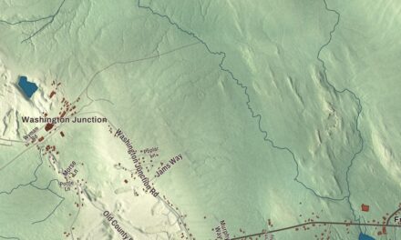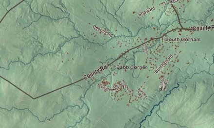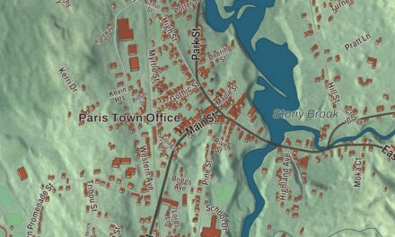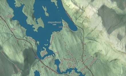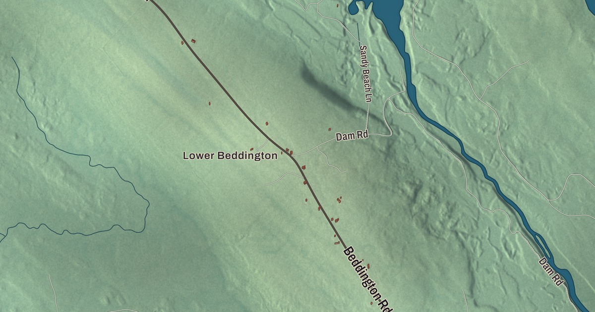
Four bodies of water carry their names across this map of Beddington: Beddington Lake, Pleasant River Lake, Spruce Mountain Lake and Bog Brook Flowage. It prints Lower Beddington too, along with Beddington Road, Beddington Lake Road, East Beddington Lake Road, West Pleasant River Lake Road, Spruce Mount Lake Road and Dam Road. Click here to purchase a print of this map for your wall.
Beddington is a town in Washington County, and it counted 60 people at the 2020 census.
KNOWOL made this map in 2026 from public survey data and finished it in the style of an old atlas. United States Geological Survey elevation data gives the land its shading. The roads and the town line come from the Census Bureau, which measures the town at 37.86 square miles, 3.27 of them water.
A small town among the lakes
Beddington was incorporated in 1833, and it has stayed small. Its town page calls it the third-smallest organized town in Maine, after Frye Island and Frenchboro. Most of the land is blueberry fields. The page also notes that salmon pass through the town’s rivers and lakes on their way upstream to spawn.
The Narraguagus River leaves Eagle Lake in Hancock County and runs 55.3 miles southeast to the sea at Milbridge, and along the way it passes Lead Mountain and flows into and out of Beddington Lake. Downstream in Cherryfield, the river was once well known for fly fishing for Atlantic salmon, though its page says the native run is much smaller now.
Lead Mountain stands north of the town, on the line between Hancock and Washington counties. It rises 1,479 feet, and its page says you can see it from miles away along routes 9 and 193. The rock there holds small specks of pyrrhotite, a mineral that can be mistaken for lead. The mountain is on private land, but the public can hike it, and on a clear day the summit looks south to Acadia National Park and the Gulf of Maine. On its southern slopes the University of Maine runs the Bear Brook Watershed, an experimental forest where monitoring began in 1987 and scientists study how acid deposition affects a landscape.
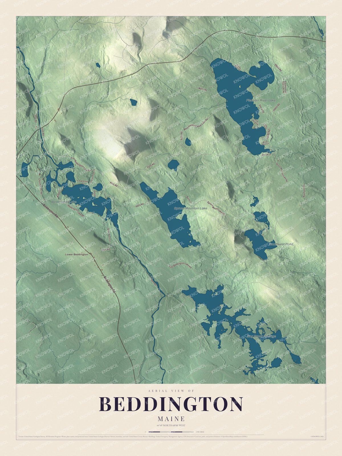
Click to explore a larger preview. The digital watermark does not appear on printed maps.
See it on a wall
The Beddington map as a framed print. Swipe for more.


Roads to the lakes
Beddington Lake is printed on the map. Its own page places the lake less than half a mile east of the Hancock County line, near the place where routes 9 and 193 meet, with unpaved roads and private homes around its shore. Route 9 is the old Airline from Bangor to Calais, a name its page traces back to the early 1850s, when it was set against the shoreline route. Route 193 runs 19.08 miles up from Cherryfield to meet it. That road once ran closer to Beddington Lake, but the old way wasn’t fit for heavy traffic, and a new connector was built in 1956.
Beddington Road, Beddington Lake Road and East Beddington Lake Road are printed too, and so are West Pleasant River Lake Road, Spruce Mount Lake Road and Dam Road. Find Lower Beddington, then follow those roads out to Pleasant River Lake, Spruce Mountain Lake and Bog Brook Flowage.
This Beddington map makes a fine addition to an office, library or den, and it can teach children the geography and history of a small Washington County town. It’s made for anyone who calls Beddington home, from Lower Beddington to Spruce Mountain Lake, as it looks today. Zoom in on the preview above to explore the details, then click here to get your copy of the Beddington, Maine map.

Sources