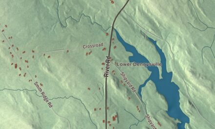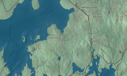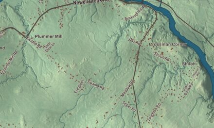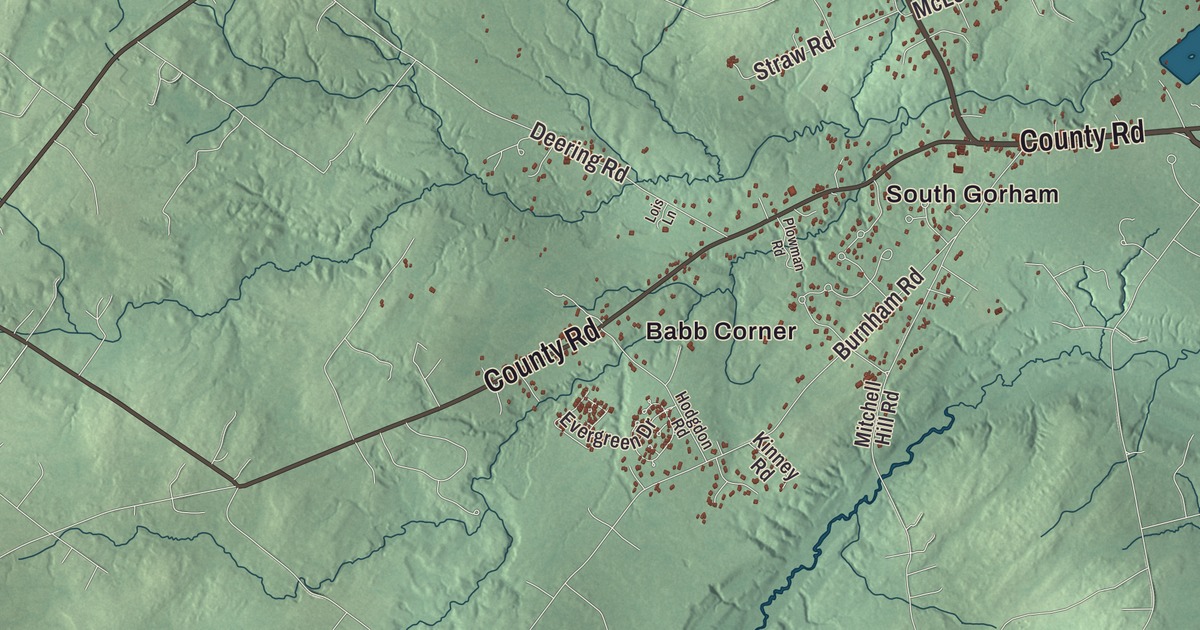
Babb Corner and Dog Corner may be the places you look for first on this Gorham map. Main Street, Fort Hill Road and the other printed names let you explore the town from there. Click here to purchase a print of this map for your wall.
Gorham is a town in Cumberland County.
KNOWOL made this map in 2026 from public survey records, combining modern geography with the look of a vintage atlas. United States Geological Survey elevation data shapes the terrain, and Census Bureau files supply the roads and municipal boundary. Buildings, ponds and waterways complete the aerial view.
From a land grant to a college town
Gorham began as Narragansett Number 7, one of the townships granted to veterans and heirs of a seventeenth-century campaign. John Phinney settled here in 1736, and the town incorporated in 1764. Gorham later supported mills and manufacturers, with canal transport beginning in 1829 and railroad service in 1851.
Gorham Academy was incorporated in 1803, and its building was completed in 1806 by builder Samuel Elder. It educated boys and girls and later became part of the town’s teacher-training history. The academy building now belongs to the University of Southern Maine campus and entered the National Register of Historic Places in 1973. Gorham had 18,336 residents at the 2020 census.
A physicist from Gorham
Edwin Hall was born in Gorham in 1855. He graduated from Bowdoin College in 1875 and earned his doctorate at Johns Hopkins in 1880. While studying there, he discovered the Hall effect in 1879.
Hall’s experiment showed a voltage developing across an electrical conductor in a magnetic field, at right angles to the current. He later taught at Harvard and became a professor there in 1895. The discovery happened beyond Gorham, but his life began in this town.
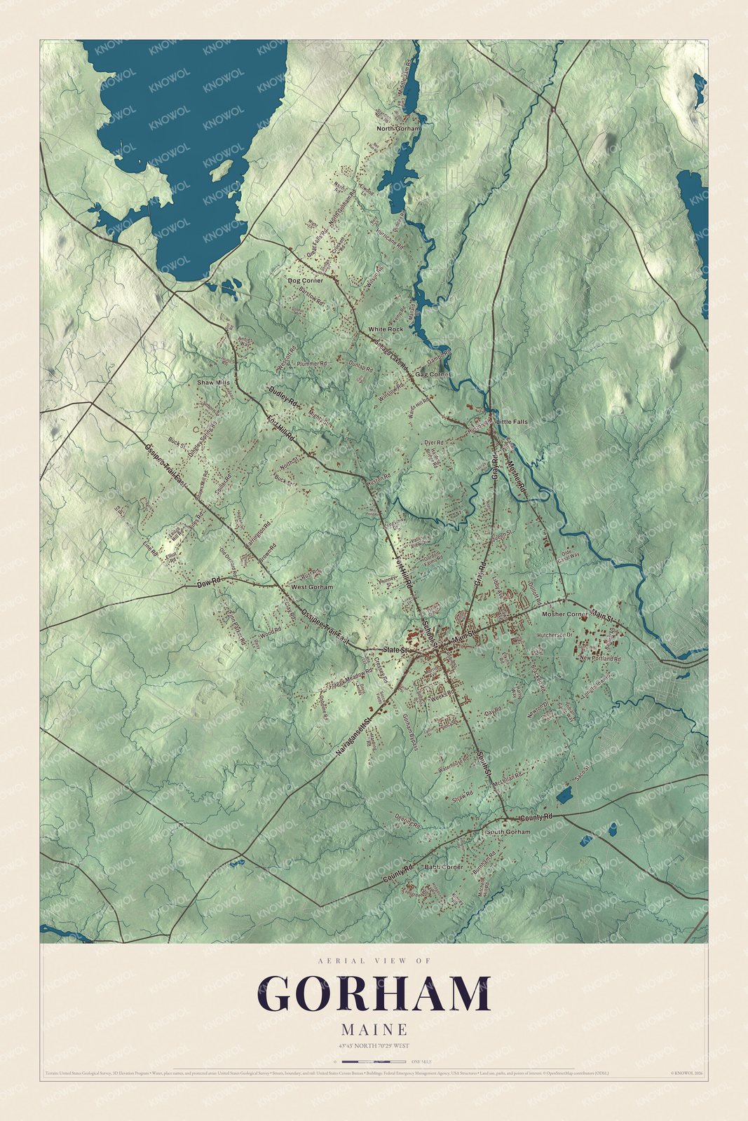
Click to explore a larger preview. The digital watermark does not appear on printed maps.
See it on a wall
The Gorham map as a framed print. Swipe for more.


Exploring the Gorham map
Find Babb Corner and Dog Corner, then look for Gag Corner, Little Falls, Mosher Corner, North Gorham and Shaw Mills. Fort Hill Road, State Street, School Street, Gray Road, Narragansett Street and Main Street are printed by name. Those local names make the town’s different parts easy to revisit in the aerial view.
For people who call Gorham home, the map brings familiar roads and places together as it looks today. Hang it in an office, library or den, or use it to teach children the geography and history of the area. Zoom in on the preview above to explore the details, then click here to get your copy of the Gorham, Maine map.

Sources