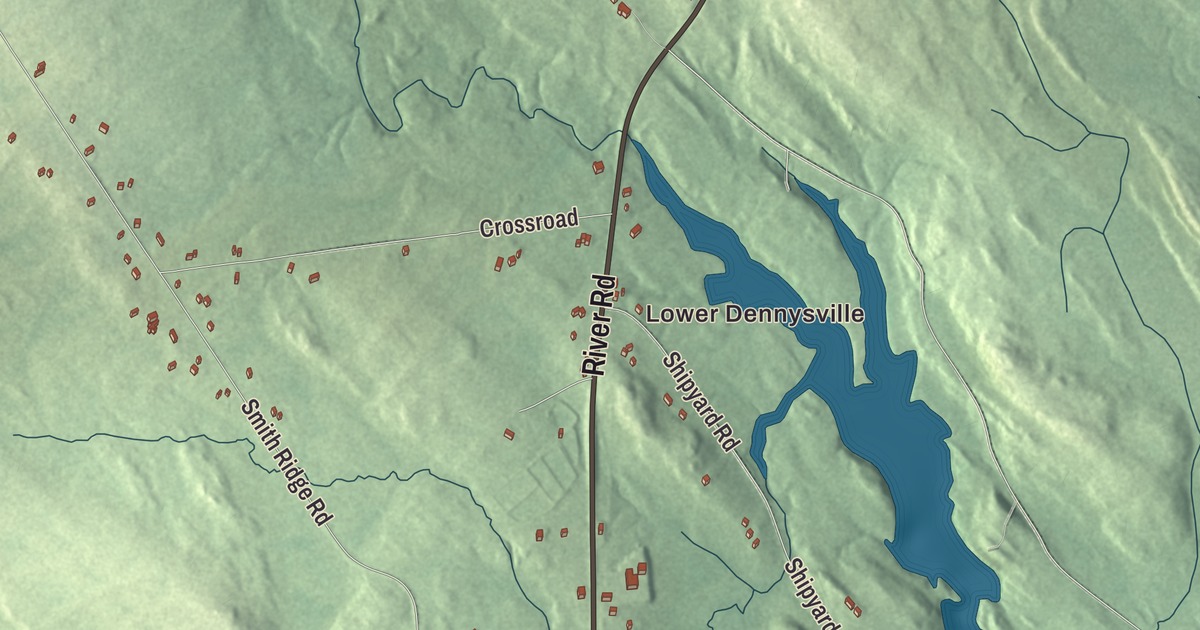
Main Street along the river and King Street are the first names to look for on this map of Dennysville, Maine. Lower Dennysville, River Road, Water Street, Shipyard Road, Shipyard Lane and the Hardscrabble River fill in the rest. Click here to purchase a print of this map for your wall.
Dennysville is a town in Washington County, with 300 people at the 2020 census.
KNOWOL made this map in 2026 from public survey data and gave it the look of an old atlas. The Census Bureau measures the town at 15.28 square miles, 0.36 of them water, and its files give the roads and the town line. United States Geological Survey elevation data shades the ground, and Dennysville has a listed elevation of 154 feet.
Sixteen men from Hingham
The town takes its name from the Dennys River, which its page says was named for a Native American hunter. The river runs about 23 miles from Meddybemps Lake to Dennysville, where it turns tidal and soon meets the Hardscrabble River estuary to form Dennys Bay.
The land was part of a 10,000-acre grant to a group of Massachusetts proprietors led by General Benjamin Lincoln, a veteran of the Revolutionary War. In 1786 Lincoln sent his son Theodore with a party of settlers, sixteen men who came by boat from Hingham, Massachusetts, and reached the river shore on May 17, 1786. The town was incorporated in 1818. The next year after the landing, Hingham builder Joshua Chubbuck put up a house for Theodore Lincoln, the first frame house in what’s now Dennysville. Today the Lincoln House stands on King Street, overlooking the Dennys River at the north edge of the village, and it’s the community’s oldest standing building. John James Audubon’s wife stayed there with the Lincolns in 1833 while he went to Labrador. A later resident, Anna Maxwell Brown, sang with the D’Oyly Carte Opera Company and married into the family.
The village on Main Street
The town center grew up on the banks of the river, which powered the mills that took the area’s timber to market. The town did well in the lumber trade until the region’s virgin timber was used up, and the main mill burned in the 1930s. The old center is now the Dennysville Historic District, listed on the National Register in 1982: 22 historic properties on about 30 acres, strung along the west side of Main Street, The Lane and Mahar’s Lane on the river’s west bank. Most of its houses went up before 1850 in the Federal or Greek Revival style. The church of 1834 still has its original box pews, the Dennysville Academy building dates to 1846, and the town library of 1923 is a Bungalow-style building of stuccoed brick. The American Legion Hall, once a Masonic lodge, dates to about 1885, and Allan’s Stage and Livery Stable, a horse barn, to about 1875.
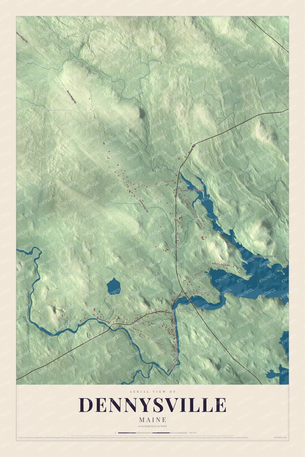
Click to explore a larger preview. The digital watermark does not appear on printed maps.
See it on a wall
The Dennysville map as a framed print. Swipe for more.


Around the map
Main Street and King Street are printed on the map, along with River Road, Water Street, Shipyard Road and Shipyard Lane. Lower Dennysville is printed too, and the Hardscrabble River is labeled on the map. The smaller roads off them are drawn in as well.
This Dennysville map makes a fine addition to an office, library or den, and it can help teach children the geography and history of the area. It’s made for everyone who calls Dennysville home, from King Street to Lower Dennysville, as it looks today. Zoom in on the preview above to explore the details, then click here to get your copy of the Dennysville, Maine map.

Sources