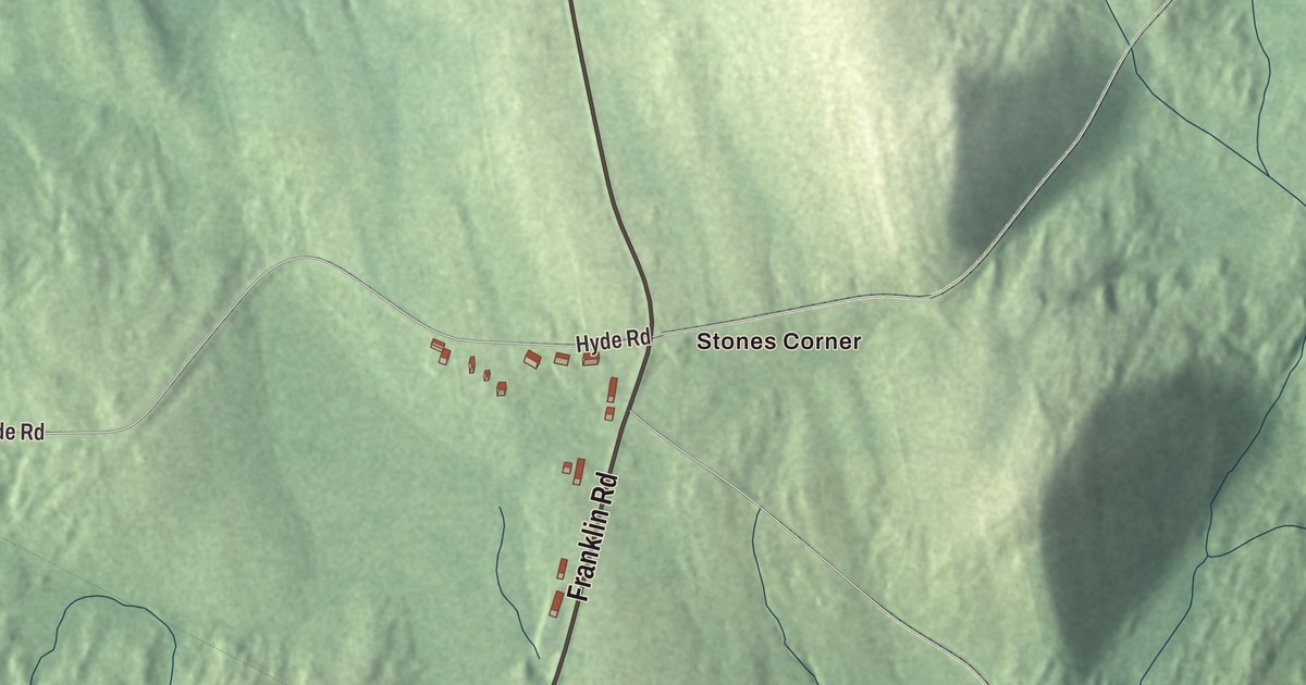
If you grew up in Chisholm, you’ll know Main Street, Franklin Road and Riverview Street, and all three are printed on this map of Chisholm, Maine. Hyde Road, Lavoie Street and Jewell Street are there too, along with Stones Corner and the Jay Recreation Area. Click here to purchase a print of this map for your wall.
Chisholm is a named community in the town of Jay, Franklin County, with 1,343 people at the 2020 census.
KNOWOL made this map in 2026 from public survey data and gave it the look of an old atlas. The community is mapped with its own boundary, the census-designated place the Census Bureau draws along the southern edge of Jay, and the finished artwork gives Chisholm its own place title. The Bureau counts 2.19 square miles inside that line, all of it land, and United States Geological Survey elevation data shades the terrain.
A village built around a paper mill
Chisholm is an industrial village, and it takes its name from Hugh J. Chisholm, who built the Otis Falls Pulp and Paper Company mill here in 1888 to use the water power of the Androscoggin River. When it opened, the mill in southern Jay was the third largest paper mill in the country, and the mill town of Chisholm grew up beside it. In 1898 it became one of the founding mills of International Paper.
Hugh Chisholm’s own story starts far from Maine. He was born in 1847 in what was then Canada West and left school at thirteen to help support his family, selling newspapers to passengers on the Grand Trunk Railway, where he became friends with a young Thomas Edison, a newsboy on a nearby line. His news business grew into a publishing company in Portland, and from there he moved into pulp and paper across western Maine. He co-founded International Paper in 1896, served as its second president from 1899 to 1907, and started the company’s first forest management program. The Androscoggin’s average drop, about eight feet a mile, made it a strong source of water power, and Chisholm is one of the Maine mill towns that grew along it.
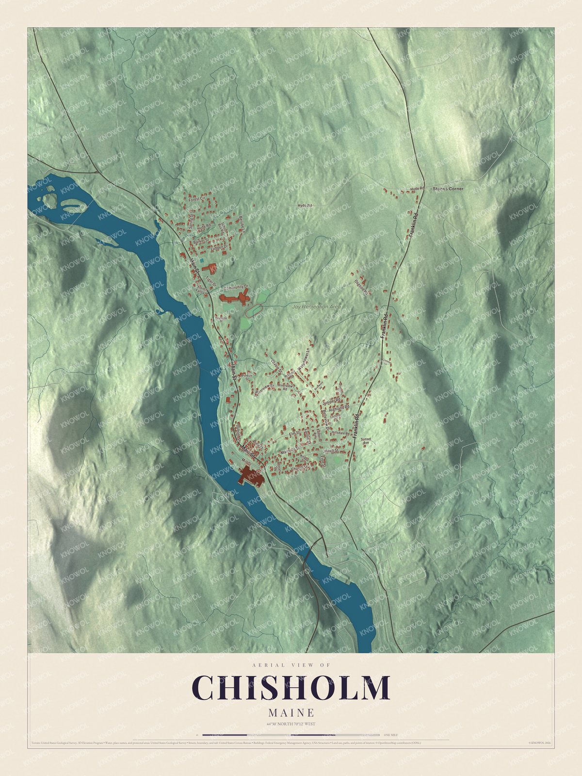
Click to explore a larger preview. The digital watermark does not appear on printed maps.
See it on a wall
The Chisholm map as a framed print. Swipe for more.


Getting around Chisholm
Chisholm sits on the east side of the Androscoggin River. To the south it runs straight into the town of Livermore Falls, in Androscoggin County, and the two form one continuous built-up center. State Routes 4 and 17 run together through Jay along the east bank of the river, coming up from Livermore Falls.
Main Street, Franklin Road and Riverview Street are printed on the map, and so are Hyde Road, Lavoie Street and Jewell Street. Stones Corner is printed too, and the Jay Recreation Area is labeled on the map.
This Chisholm map makes a fine addition to an office, library or den, and it can help teach children the geography and history of the area. It’s made for everyone who calls Chisholm home, from Stones Corner to Riverview Street, as it looks today. Zoom in on the preview above to explore the details, then click here to get your copy of the Chisholm, Maine map.

Sources