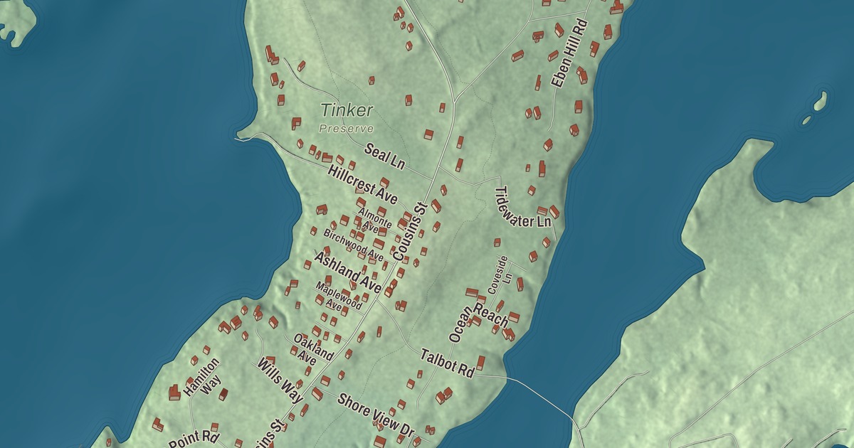
If you live on Cousins Island, you cross the bridge on Cousins Street, and that’s the first name to find on this map of Cousins Island, Maine. Wharf Road, Spruce Point Road, Cornfield Point Road, Groves Road and Sea Meadows Lane carry their names too. Click here to purchase a print of this map for your wall.
Cousins Island is a named community in the town of Yarmouth, Cumberland County, with 490 people at the 2010 census.
KNOWOL made this map in 2026 from public survey data and gave it the look of an old coastal atlas. The community is mapped with its own boundary, the census-designated place the Census Bureau draws around the island, and the finished artwork gives Cousins Island its own place title. That boundary takes in 2.0 square miles, and nearly half of it, 0.93 square miles, is the water of Casco Bay. United States Geological Survey elevation data shades the island itself.
John Cousins and the Hogg Islands
The island is named for John Cousins, an Englishman from Marlborough in Wiltshire who lived from about 1596 to 1682. He bought it in 1645 from Richard Vines, steward general for Sir Ferdinando Gorges, and two years later he sold about half of it to Richard Bray, who settled there with William Wise. The island, Littlejohn Island and the Cousins River, all named for him, were known together at the time as the Hogg Islands. He was also one of the first European settlers of North Yarmouth. Littlejohn Island is still joined to Cousins Island by a causeway.
The Ellis C. Snodgrass Memorial Bridge, better known as the Cousins Island Bridge, was built in 1955 to help with the construction of the Wyman Power Station. It runs about two thousand feet across inner Casco Bay from Drinkwater Point on the mainland to Sandy Point on the island, carrying Cousins Street, and it’s still the only way on or off the island other than by boat.
The power station and the ferry
Wyman Power Station, on the island’s southwestern peninsula, was finished in 1957. It’s named for William F. Wyman, a former president of Central Maine Power, and it can produce up to 823 megawatts. It’s a peaking plant, fired up only when demand runs high, on hot summer days or when another big plant goes offline. Its newest unit, with a 421-foot chimney, went online in 1978. In 2016 a battery storage system was added, and the island’s page calls it the largest and the first of its kind in New England when it was commissioned.
From Wharf Road, the Chebeague Transportation Company runs a 15-minute ferry to the Stone Wharf on Great Chebeague Island, and Chebeague’s year-round residents have a parking lot on Cousins Island. The island has its own radio station, too: Gary King started WYAR in the basement of his Cousins Island home in 1998, and it’s still broadcasting.
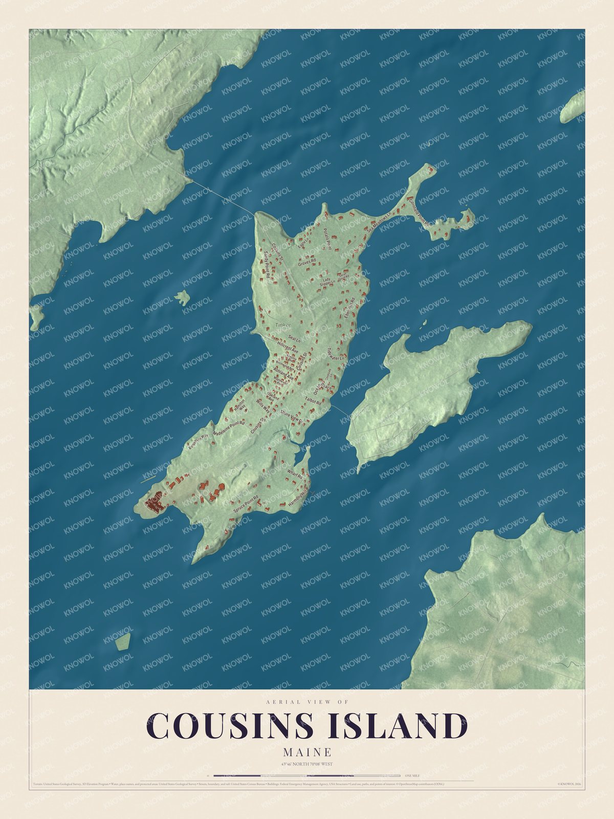
Click to explore a larger preview. The digital watermark does not appear on printed maps.
See it on a wall
The Cousins Island map as a framed print. Swipe for more.


Around the island
The Cousins Island Chapel, built in 1895 as a Baptist church, stands at 414 Cousins Street and has held non-denominational services since 1954. The Cousins Island Cemetery, at Cousins Street and Hillcrest Avenue, holds about eighteen unmarked graves of early settlers. Sandy Point Beach is on Cousins Street too, Camp SOCI has been on Sandy Point Road since 1957, and the Katherine Tinker Preserve is off Seal Lane. Cousins Street is printed on the map, and so are Wharf Road, Spruce Point Road, Cornfield Point Road, Groves Road and Sea Meadows Lane.
This Cousins Island map makes a fine addition to an office, library or den, and it can help teach children the geography and history of the area. It’s made for everyone who calls Cousins Island home, from the bridge at Cousins Street to the ferry on Wharf Road, as it looks today. Zoom in on the preview above to explore the details, then click here to get your copy of the Cousins Island, Maine map.

Sources