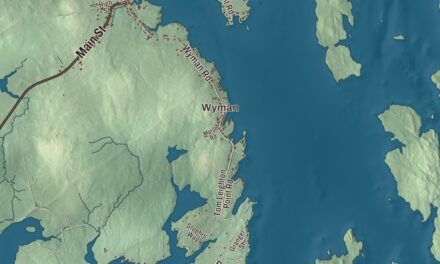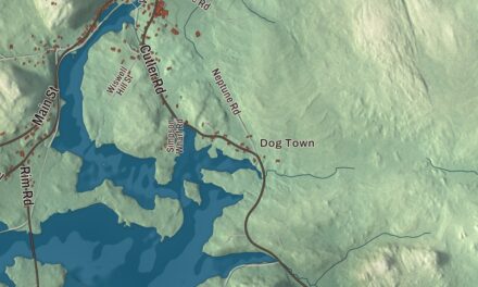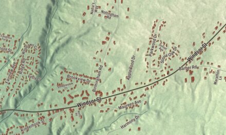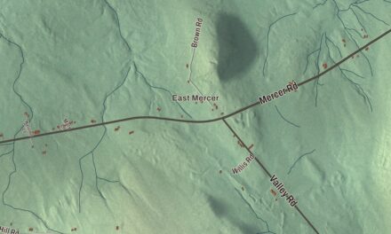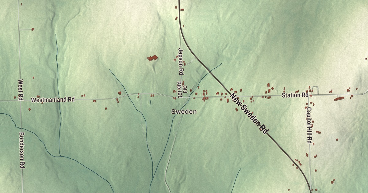
New Sweden Road, Station Road and Jemtland Road lead across this map of New Sweden, out toward Jemtland, New Sweden Station and Fogelin Pond. Click here to purchase a print of this map for your wall.
New Sweden is a town in Aroostook County.
KNOWOL made this map in 2026 from public survey records, United States Geological Survey elevation data and Census Bureau files. Its atlas layout brings together New Sweden’s roads, buildings, ponds and waterways, and terrain, the town boundary and the pattern of buildings.
The Swedish colony
In 1861 the state of Maine set out to draw immigrants to its rural north, and William W. Thomas Jr., who had served as American consul in Gothenburg, led the effort that brought Swedish colonists here and founded New Sweden in 1870. Each family was given 100 acres, and the state was supposed to provide a log house, but only six cabins had been built when the first small band arrived. By 1880 the Swedish colony had 163 households, and the program had drawn more than 1,000 immigrants to places across Maine.
The settlers began Lutheran services the year after they arrived. The Gustaf Adolph Lutheran Church on Capitol Hill Road was built in 1879 and 1880 and dedicated in 1881 as the First Swedish Evangelical Church in Maine, and in 1896 it took the name of King Gustavus Adolphus of Sweden. New Sweden was incorporated as a town in 1895, and it still keeps St. Lucia Day and Midsommar, with Founders Day on July 23 each year.
Log houses built the Swedish way
Several of the settlers’ buildings are on the National Register of Historic Places. On Station Road, northeast of the town center, the Larsson-Noak Historic District keeps the Larsson-Ostlund House of about 1888, the only known two-story log house in Maine built with Swedish methods, its logs joined with dovetails right up into the gables. Across the road, the Noak Blacksmith Shop of about 1900 holds its original forge, anvil and tools. The Nicholas P. Clase House, also on Station Road, is a log house built about 1874 by one of the first settlers.
Pehr J. Jacobson’s log house of about 1870 stands at 452 New Sweden Road, and on West Road the Anders and Johanna Olsson Farm has the only barn known to survive from the early years of Swedish settlement here. Off Jemtland Road, Timmerhuset, a log cabin probably built between 1871 and 1875, looks over the Little Madawaska River. It’s the oldest known surviving example of Swedish immigrant log construction in the state.
Jimmy
Einar Gustafson was born in New Sweden in 1935 and grew up on a potato farm. At 12 he was the cancer patient known on the radio as “Jimmy,” and the 1948 broadcast raised $231,485.51 and started the Jimmy Fund for the Dana-Farber Cancer Institute, which the Boston Red Sox adopted as their official charity in 1953.
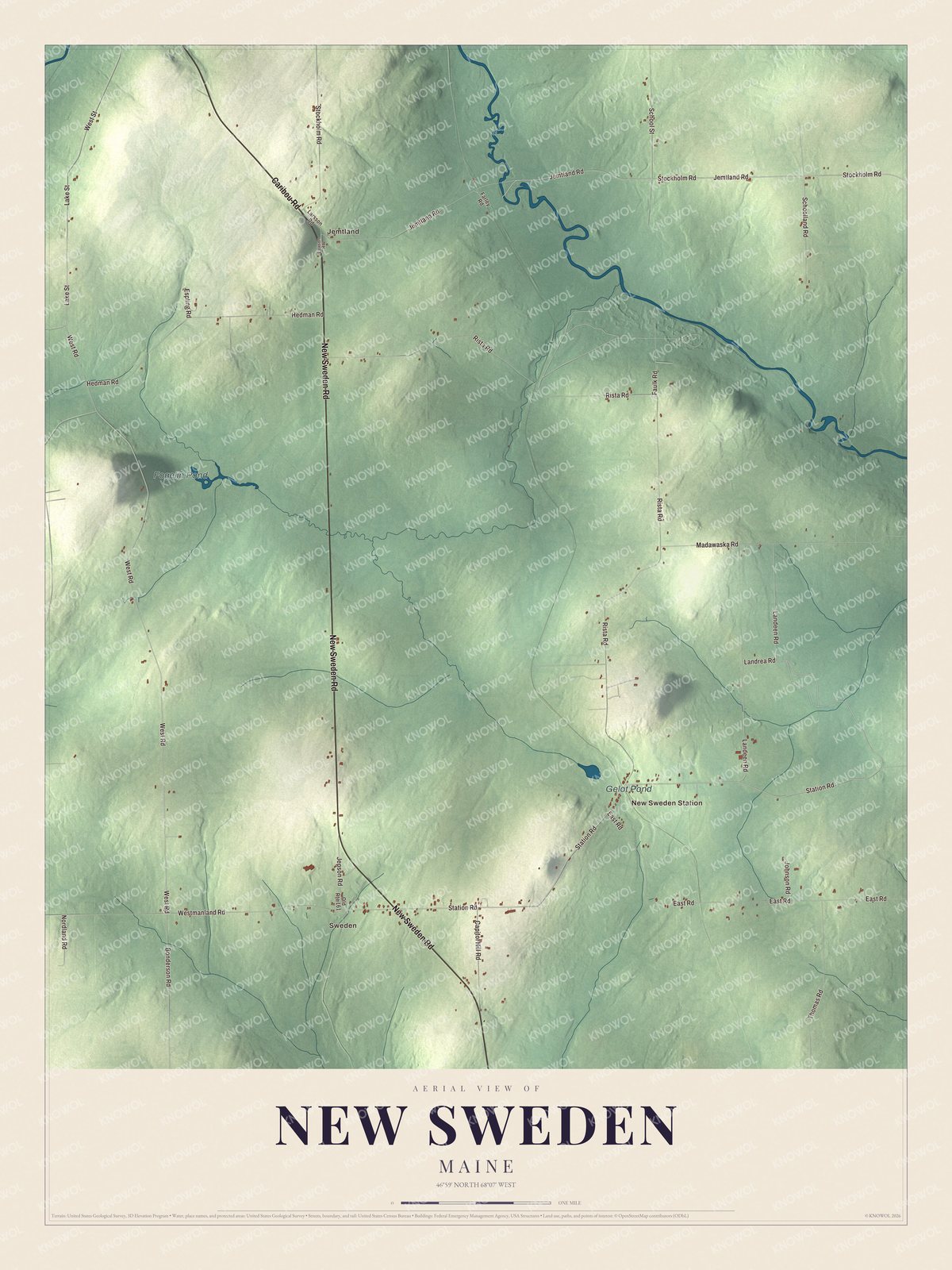
Click to explore a larger preview. The digital watermark does not appear on printed maps.
See it on a wall
The New Sweden map as a framed print. Swipe for more.


Explore the New Sweden map
Start with Sweden, then follow Caribou Road, New Sweden Road, Station Road, Jemtland Road, Stockholm Road and West Road across town. Those are printed names, and Jemtland and New Sweden Station sit farther out.
Fogelin Pond and Gelot Pond are labeled as well. Station Road, New Sweden Road, West Road and Jemtland Road all pass the old log homesteads. Trace them across the town and compare the farm clearings with the woods.
For people who call New Sweden home, this map shows the town as it looks today. Put it in your office, library, or den, or use it to teach children the geography and history of the area. Zoom in on the preview above to explore the details, then click here to get your copy of the New Sweden, Maine map.

Sources
- New Sweden, Maine, Wikipedia
- William Widgery Thomas Jr., Wikipedia
- Gustaf Adolph Lutheran Church, Wikipedia
- Larsson-Noak Historic District, Wikipedia
- Nicholas P. Clase House, Wikipedia
- Pehr J. Jacobson House, Wikipedia
- Anders and Johanna Olsson Farm, Wikipedia
- Timmerhuset, Wikipedia
- Einar Gustafson, Wikipedia