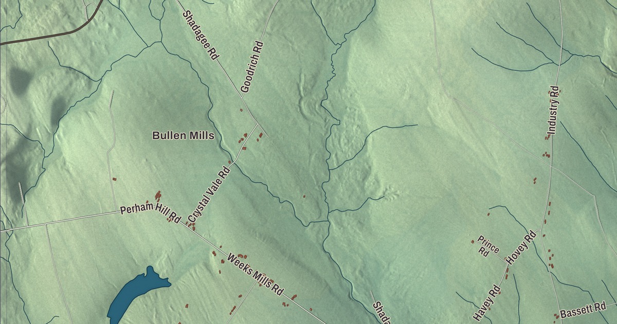
If you know New Sharon, you know Cape Cod Hill Road and Farmington Falls Road, and this map sets them among Bullen Mills, Weeks Mills, Crowell Pond and McIntire Pond. Click here to purchase a print of this map for your wall.
New Sharon is a town in Franklin County.
KNOWOL made this map in 2026 from public survey records, United States Geological Survey elevation data and Census Bureau files. Its atlas layout brings together New Sharon’s roads, buildings, ponds and waterways, and terrain, the town boundary and the pattern of buildings.
On the Sandy River
New Sharon was incorporated in 1794, and the Sandy River, a tributary of the Kennebec, roughly cuts it in half. The river flows northeast from Farmington Falls through New Sharon and meets the Kennebec in Norridgewock. U.S. Route 2 follows it downstream to New Sharon, where the road makes the last bridged crossing of the river before it reaches the Kennebec. The 2020 census counted 1,458 people here.
An iron truss bridge built in 1916 once carried the road over the river beside the town center. It was one of only three pin-connected Pennsylvania truss bridges in the state. A modern span downstream took over Route 2 in 1959, the old bridge was closed in the 1990s, and it was taken down in 2014.
The church on Cape Cod Hill Road
The New Sharon Congregational Church stands at 21 Cape Cod Hill Road, on a rise overlooking the town’s residential center. The brick Greek Revival church was built in 1845 to replace a wooden meeting house of 1816 that was lost to fire. That first building was shared by four denominations, and the Baptists, Methodists and Unitarians each built their own church in time, leaving it to the Congregationalists. The grassy rise around the church is the nearest thing New Sharon has to a town common, and the church is on the National Register of Historic Places.
The science fiction writer Barry B. Longyear lived in New Sharon. His 1979 novella “Enemy Mine” won the Hugo and Nebula awards and was made into a movie, and he was the only writer to win the Hugo, Nebula and Campbell awards in the same year until 2018.
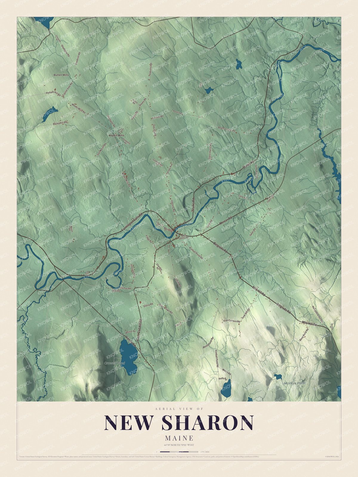
Click to explore a larger preview. The digital watermark does not appear on printed maps.
See it on a wall
The New Sharon map as a framed print. Swipe for more.


Explore the New Sharon map
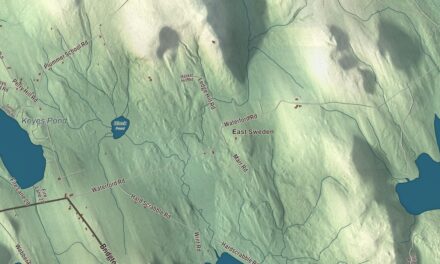
Start with Bullen Mills, then follow Farmington Falls Road, Starks Road, Vienna Road, Belgrade Road, Mile Hill Road and Cape Cod Hill Road across town. Those are printed names, and Weeks Mills sits farther out.
Crowell Pond and McIntire Pond are labeled as well. Find Cape Cod Hill Road near the town center, where the brick church stands on its rise, and follow the Sandy River as it crosses the town.
For people who call New Sharon home, this map shows the town as it looks today. Put it in your office, library, or den, or use it to teach children the geography and history of the area. Zoom in on the preview above to explore the details, then click here to get your copy of the New Sharon, Maine map.

Sources