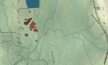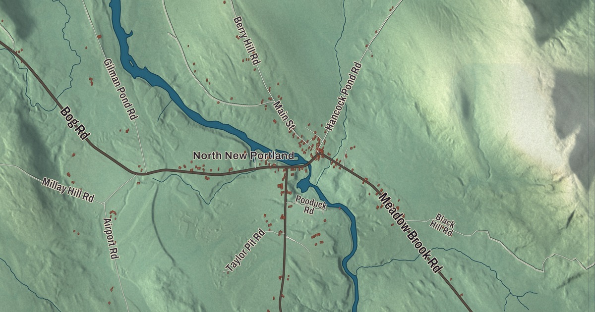
The Carrabassett River, Lemon Stream Road and River Road run through this map of New Portland, along with North New Portland and East New Portland. Click here to purchase a print of this map for your wall.
New Portland is a town in Somerset County.
KNOWOL made this map in 2026 from public survey records, United States Geological Survey elevation data and Census Bureau files. Its atlas layout brings together New Portland’s roads, buildings, ponds and waterways, and terrain, the town boundary and the pattern of buildings.
A grant for Falmouth
New Portland began as a repayment. After the British fleet burned Falmouth, now Portland, in 1775, the Massachusetts legislature gave this township to Falmouth’s residents for their loss. The Carrabassett River flows through the villages of West New Portland and East New Portland, while Gilman Stream, slower and good for kayaking and canoeing, runs through North New Portland. The town sits on Route 27 next to Kingfield, its annual fair is held in September, and the 2020 census counted 765 people.
The Wire Bridge
New Portland’s Wire Bridge carries Wire Bridge Road across the Carrabassett River a short way north of the village center, just upstream of the mouth of Lemon Stream. It’s a one-lane suspension bridge 188 feet long, with towers covered in wooden shingles set on abutments of rough granite, and its towers and cable are original. Accounts of its building differ. One local tradition credits Colonel F. B. Morse in the early 1840s, with cables ordered from Sheffield, England, and hauled overland from Hallowell by oxen, and says doubters called it Morse’s Fool Bridge. The official town history says David Eider and Captain Charles Clark built it, finishing in 1866.
It’s one of four 19th-century suspension bridges in Maine. The bridge was listed on the National Register of Historic Places in 1970 and named a Maine Historic Civil Engineering Landmark in 1990.
From New Portland to the wider world
Abram P. Williams, born in New Portland in 1832, later served as a U.S. senator from California. Joseph T. Copeland was appointed postmaster for North New Portland in 1837, before he became a justice of the Michigan Supreme Court and a general in the Union Army.
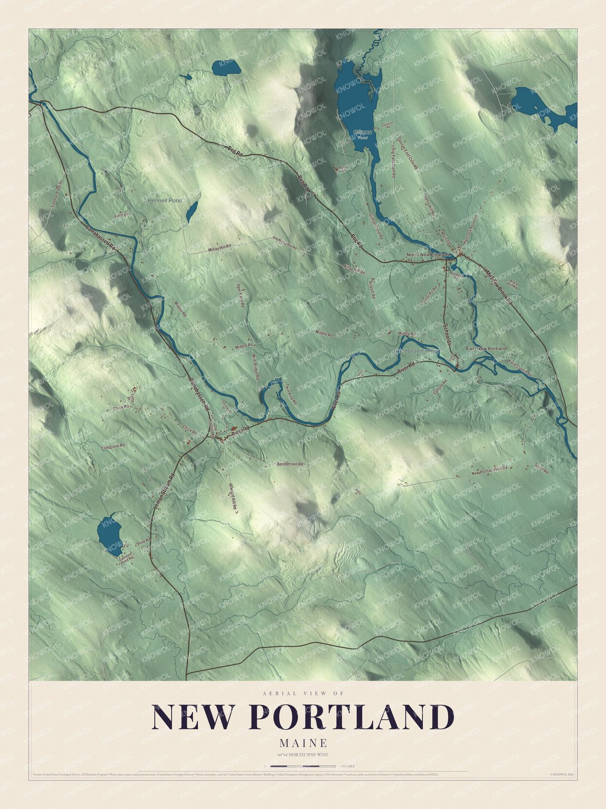
Click to explore a larger preview. The digital watermark does not appear on printed maps.
See it on a wall
The New Portland map as a framed print. Swipe for more.


Explore the New Portland map
Start with North New Portland, then follow Bog Road, Carrabassett Road, Lemon Stream Road, Meadow Brook Road, River Road and School Street across town. Those are printed names, and East New Portland sits farther out.
Pennell Pond and the Carrabassett River are labeled as well. Follow the river through town to find where Lemon Stream comes in, just below the Wire Bridge, and compare the rocky, swift Carrabassett with the quieter country along the roads.
For people who call New Portland home, this map shows the town as it looks today. Put it in your office, library, or den, or use it to teach children the geography and history of the area. Zoom in on the preview above to explore the details, then click here to get your copy of the New Portland, Maine map.

Sources