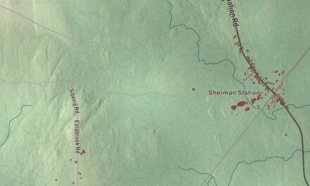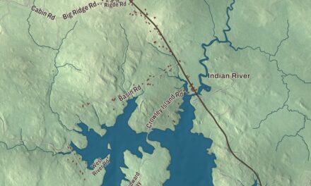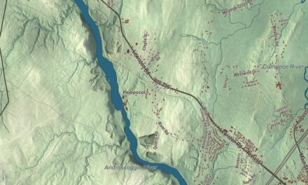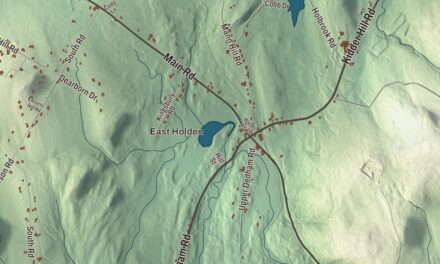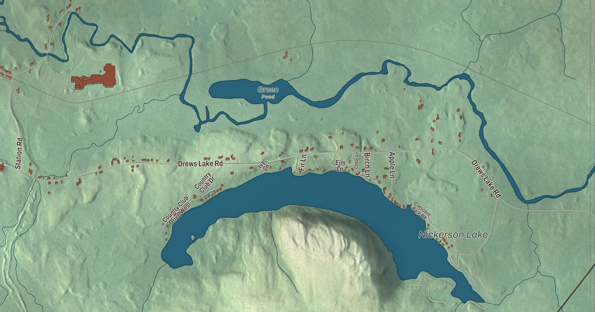
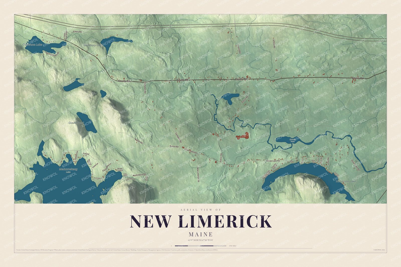
County Road, Drews Lake Road and North Shore Road wind among Nickerson Lake, Cochrane Lake and Bradbury Lake on this map of New Limerick. Click here to purchase a print of this map for your wall.
New Limerick is a town in Aroostook County.
KNOWOL made this map in 2026 from public survey records, United States Geological Survey elevation data and Census Bureau files. Its atlas layout brings together New Limerick’s roads, buildings, ponds and waterways, and terrain, the town boundary and the pattern of buildings.
Named for a town in York County
New Limerick was incorporated on March 18, 1837, from New Limerick Plantation. It took its name from Limerick in York County, at the southern end of the state, where many of its settlers had lived before; that town was probably named for the Irish city of Limerick. The 2020 census counted 574 people here, and of the town’s 19.53 square miles, 1.09 are water.
Dora Bradbury was born in New Limerick in 1891, and her family moved to Fort Kent the next year. As Dora Pinkham, she became the first woman elected to the Maine Legislature in 1922, the only one elected of nine women who ran that year. In 1926 she and Katherine Allen became the first women to serve in the Maine Senate.
Click to explore a larger preview. The digital watermark does not appear on printed maps.
Names on this map
These names are printed on this map.
Places: Nickerson Lake, Cochrane Lake, Gould Pond, Bradbury Lake, Green Pond and Meduxnekeag Lake.
Streets and roads: County Road, Loon Lane, Drews Lake Road, North Shore Road, Station Road, Campbell Road, Burton Road, French Road, Emery Road, Cochran Lake Road, Jeffery Road, New Limerick Road.
More street names, A to Z
Apple Lane, Birch Lane, Brown Trout Lane, Cedar Lane, Chickadee Lane, Country Club Drive, Country Club Drive West, Crescent Park Road, Drews Mill Road, Elm Lane, Emery Road South, Fir Lane, Hummingbird Lane, Ivy Lane, Mourning Dove Lane, Pickerel Lane, Public Landing, Salmon Lane, South Shore Road.
See it on a wall
The New Limerick map as a framed print. Swipe for more.


Explore the New Limerick map
Start with County Road, then follow Loon Lane, Drews Lake Road, North Shore Road, Station Road and Campbell Road across town. All of those names are printed on the artwork.
Nickerson Lake, Cochrane Lake, Gould Pond and Bradbury Lake are labeled as well. Follow the shorelines and compare the buildings along the water with the fields and woods inland.
For people who call New Limerick home, this map shows the town as it looks today. Put it in your office, library, or den, or use it to teach children the geography and history of the area. Zoom in on the preview above to explore the details, then click here to get your copy of the New Limerick, Maine map.

Sources