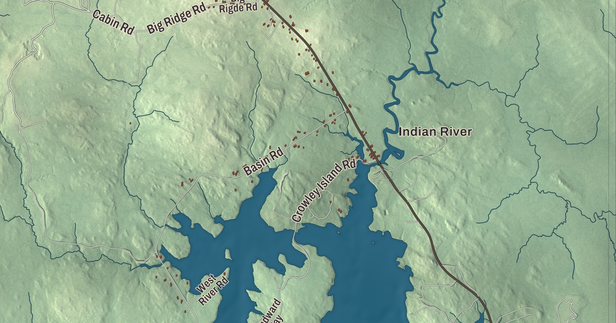
Addison is a coast town where the water outweighs the land. This map prints Indian River Road, East Side Road and Mooseneck Road, Water Street, Wharf Road and Big Ridge Road, along with Indian River, South Addison and the West River. Click here to purchase a print of this map for your wall.
Addison is in Washington County, and it had 1,148 people at the 2020 census.
KNOWOL made this map in 2026 from public survey data and gave it the look of an old atlas. The shaded terrain comes from United States Geological Survey elevation data, and the roads and the town line come from the Census Bureau. By the Census Bureau’s count the town covers 100.47 square miles, and 58.03 of them are water, leaving 42.44 square miles of land.
Named for a writer
Addison was incorporated in 1797 and named for the English author Joseph Addison. The Pleasant River comes down 44.8 miles from Pleasant River Lake in Beddington and reaches Pleasant Bay at the line between Addison and Harrington, and its West Branch meanders 2.3 miles south from Columbia to the river’s estuary at Addison. Today the town page points to its walking trails, beaches, islands and parks.
The village of Addison Point lies in the northwestern part of town, on the banks of the Pleasant River. Its Captain John Plummer House, at 23 Pleasant Street, a short road between Water Street and School Street, was built about 1842 for an Addison native who went to sea as a ship’s captain, then turned to trade, lumbering and politics and served in the state senate during the Civil War. Its steep Gothic Revival entry vestibule, with lancet-arched windows, is a style found nowhere else in town, its page says, and the family kept the house until about the turn of the 20th century. On Water Street itself, the David and Hadassah Wass House, at number 293, joined the National Register of Historic Places in 2022.
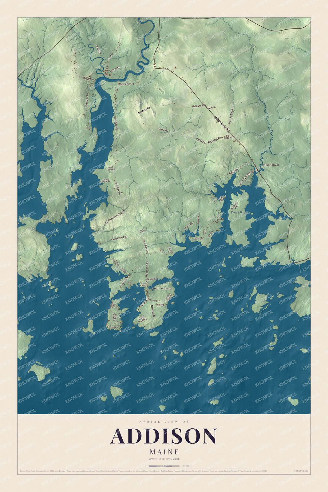
Click to explore a larger preview. The digital watermark does not appear on printed maps.
See it on a wall
The Addison map as a framed print. Swipe for more.


Two churches
Indian River is printed on the map. On Indian River Road, near where the road crosses the Indian River close to its mouth, stands the Indian River Baptist Church. The congregation’s beginnings are uncertain, but by 1853 it had grown enough to accept the land as a gift from Susannah K. Emerson, and Norman Ward, a local builder, began raising the church in 1853. Its page calls it one of the community’s most sophisticated buildings, mixing Greek Revival and Italianate styles in a town whose 19th-century buildings are mostly plain houses. The square tower, added in the years after 1905, is the only major change. When the church was nearly inactive, local volunteers kept it up, and in 1986 they took ownership as a community association.
West of the village center, the Union Evangelical Church stands on a rise over the Pleasant River where Ridge Road meets Church Hill Lane, with views of the Maine coast. It’s the third church on the site. The first went up in 1789 and was lost to a gale in 1839, and the second to a lightning fire in 1860. The present one, built about 1860 in a mix of Greek Revival and Gothic Revival, has no known designer, but its page says it looks much like a church in nearby Columbia.
This Addison map is a good addition to an office, library or den, and it can teach children the geography and history of a town that’s more than half water. It’s made for anyone who calls Addison home, from South Addison to the Indian River. Zoom in on the preview above to explore the details, then click here to get your copy of the Addison, Maine map.

Sources
- Addison, Maine, Wikipedia
- List of municipalities in Maine, Wikipedia
- Pleasant River (Pleasant Bay), Wikipedia
- West Branch Pleasant River (Addison, Maine), Wikipedia
- Capt. John Plummer House, Wikipedia
- National Register of Historic Places listings in Washington County, Maine, Wikipedia
- Indian River Baptist Church (Addison, Maine), Wikipedia
- Union Evangelical Church, Wikipedia