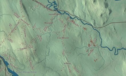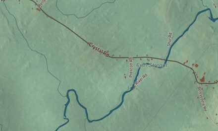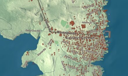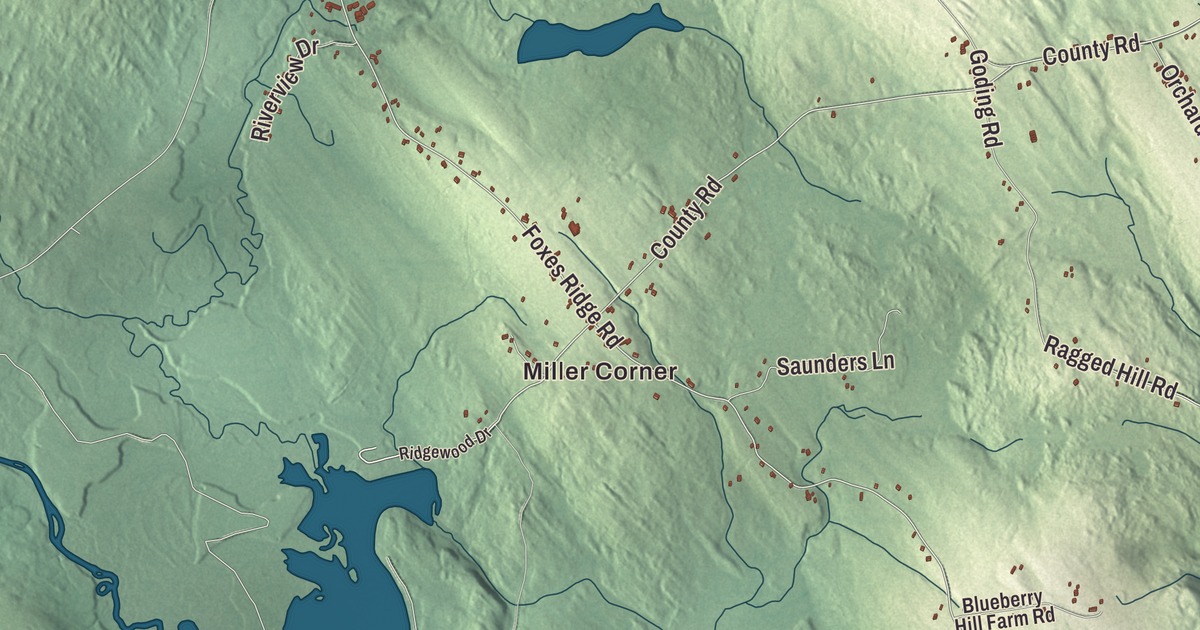
Acton sits on the New Hampshire line, a town of lakes and ridges. This map prints three of the lakes by name: Great East Lake, Mousam Lake and Wilson Lake. It prints the ridge roads too, Youngs Ridge Road, Acton Ridge Road and Foxes Ridge Road, along with Canal Road, Hopper Road, Wyman Point Road and the villages of Miller Corner and South Acton. Click here to purchase a print of this map for your wall.
Acton is in York County, and it had 2,671 people at the 2020 census.
KNOWOL made this map in 2026 from public survey data and gave it the look of an old atlas. The shaded terrain comes from United States Geological Survey elevation data, and the roads and the town line come from the Census Bureau. The Census Bureau counts 41.11 square miles in town, and 3.39 of them are water. The high ground is Hussey Hill, at 1,051 feet, which the town page calls the only point in Acton above 1,000 feet and Maine’s southernmost 1,000-foot mountain.
From Shapleigh’s west end
The land was part of the Ossipee Tract, which the Newichawannock chief Captain Sunday, also called Wesumbe, sold on November 28, 1668, to Francis Small, a trader from Kittery. Small sold half of it to Major Nicholas Shapleigh of Eliot. In 1770 heirs found the unrecorded deed and divided the land, and Shapleigh’s descendants received all of what became Parsonsfield and Shapleigh and half of Limerick. Shapleigh, first called Hubbardstown Plantation, was incorporated in 1785, and its western portion was set off on March 6, 1830, as Acton, named for Acton in England.
Benjamin Kimens, Clement Steele and John York, all from York, settled at Acton village in 1776, and in 1779 Joseph Parsons built a gristmill on the Salmon Falls River near Wakefield, New Hampshire. Other mills followed at the town’s water power sites: sawmills and gristmills, a hemp mill, a carding mill, a felt mill, a tannery and a shoe factory. A vein of silver turned up in 1877 near Goding Creek and the Lebanon line, and prospectors dug mines through the 1880s before the venture faded. Much of the soil was poor for farming, the town page says, but the ridges yielded good crops. In 1866 the Shapleigh & Acton Agricultural Society was formed and began holding a yearly fair and cattle show, and it still goes on every late summer as the Acton Fair, at the Acton Fairground.
Acton people
Ralph Farnham, the last living member of the Battle of Bunker Hill, lived in Acton for 80 years and died in 1860 at the age of 104. Nathan Clifford Ricker was born on a farm near Acton in 1843. On March 12, 1873, he received his graduation certificate from the University of Illinois, which his page says made him the first person to receive a degree in architecture in the United States. He created the school’s Department of Architecture and serve as dean of its College of Engineering. Closer to home, the Lincoln School on Orchard Road, a one-room schoolhouse built in 1884, was the last of Acton’s district schools still teaching when it closed in 1957, and it’s on the National Register of Historic Places.
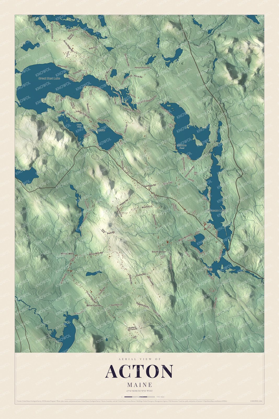
Click to explore a larger preview. The digital watermark does not appear on printed maps.
Names on this map
These names are printed on this map.
Places: Miller Corner.
Streets and roads: Dandy Rd, Hanson Pond Rd, Peacock Rd, Pond Rd, Peck Rd, Saunders Ln, County Rd, Ragged Hill Rd and Goding Rd.
See it on a wall
The Acton map as a framed print. Swipe for more.


The canal and the lakes
Canal Road is printed on the map. It crosses the Newichawannock Canal on an unmortared stone-arch bridge built at the same time as the canal. The canal joins Great East Lake to Horn Pond, the head of the Salmon Falls River, and it marks the state line between Acton and Wakefield. The Great Falls Company began it in the 1850s to send more water to its textile mills at Somersworth, New Hampshire, and its page calls it unusual, a canal built strictly for industry far from the mills it served. Hiram Paul, a Wakefield civil engineer who also kept a tavern, built it, and it wasn’t finished until the 1860s, in part because of the Civil War. The canal and bridge were added to the National Register in 2014.
Great East Lake covers 1,825 acres, and 45 percent of it lies in Acton. It’s the farthest upstream and the largest of the five headwater lakes of the Salmon Falls River, which the Abenaki called Newichawannock, “river with many falls.” Wilson Lake is a spring-fed lake of 308 acres that also drains to Horn Pond. Mousam Lake is printed too. The Mousam River is one of the three rivers that drain the town. Milton Mills is printed across the line. It’s a village in the northern part of Milton, New Hampshire.
This Acton map is a fine addition to an office, library or den, and it can teach children the geography and history of a town at the headwaters of the Salmon Falls River. It’s made for anyone who calls Acton home, from Miller Corner to the shore of Great East Lake. Zoom in on the preview above to explore the details, then click here to get your copy of the Acton, Maine map.

Sources