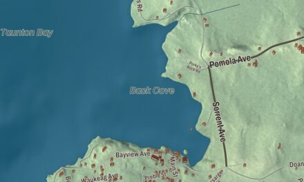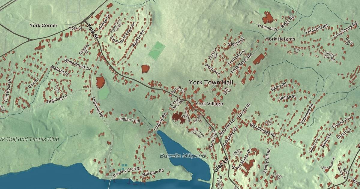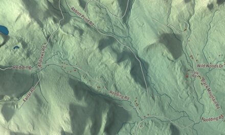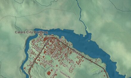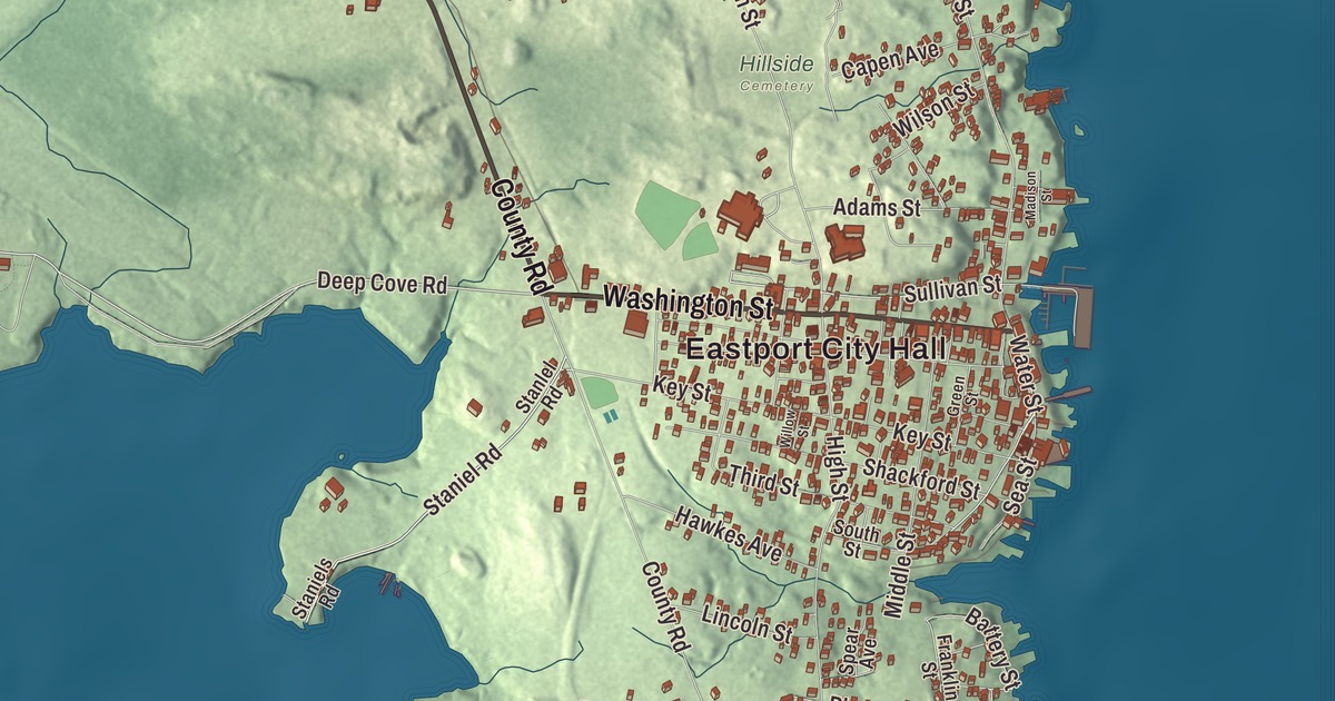
Water Street, Washington Street and County Road lead the way on this map of Eastport, Maine. Quoddy, Deep Cove Road, Snyder Road and Perkins Road are here too, and so is the Atlantic Ocean. Click here to purchase a print of this map for your wall.
Eastport is a city in Washington County, with 1,288 people at the 2020 census.
KNOWOL made this map in 2026 from public survey data and gave it the look of an old atlas. Eastport is a city of islands, and the Census Bureau measures it at 12.34 square miles, 8.71 of them water; its files give the streets and the city line. United States Geological Survey elevation data shades the land, which has a listed elevation of 52 feet.
The easternmost port
The Passamaquoddy have called this place home for at least 10,000 years, and some archaeologists put it at 20,000. Moose Island, the main island, was first settled in 1772 by James Cochrane of Newburyport, Massachusetts, and fishermen from Newburyport and Portsmouth, New Hampshire, joined him. On February 24, 1798, the Massachusetts General Court incorporated the town and named it Eastport, for being the easternmost port in the United States. It’s still the easternmost city in the country; neighboring Lubec reaches farther east, but Lubec is a town. It’s also the least populous city in Maine.
The War of 1812 reached the island. Fort Sullivan had been built on a hill in the village in 1808 or 1809, and on July 11, 1814, a British fleet under Sir Thomas Hardy took it. Britain claimed Moose Island as its own and kept troops there, and Eastport didn’t return to American control until June 30, 1818. The Barracks Museum, one of the fort’s old officers’ quarters, now stands at 74 Washington Street, where the Border Historical Society shows the fort’s story along with the area’s sardine and fishing history.
Sardines and Water Street
By the town page’s account, Eastport was the second largest trading port in the country after New York City in 1833. Its harbor stayed free of ice year round, with tides of about 25 feet. The first sardine factory was built here about 1875, and by 1886 there were 13, running day and night in season, packing about 5,000 cases a week with some 800 men, women and children at work. Eastport became a city in 1893. The Seacoast Canning Company plant at 15 Sea Street was built in 1908 for what was then the world’s largest sardine cannery company.
Downtown is the Eastport Historic District, five blocks of Water Street rebuilt after a fire swept the business district in October 1886. Twenty-six of its buildings went up in 1887, and fourteen of them are the work of, or credited to, Henry Black, an architect who had worked for some years in Saint John, New Brunswick, and arrived in Eastport in February 1887. The Peavey Memorial Library of 1893 stands among them, a Romanesque building named for Albert Peavey and built with money his son Frank left to Eastport. Frank Peavey had moved to Minnesota, founded a major grain company and invented the concrete grain elevator. Just off Water Street, three Federal houses on Boynton Street form their own historic district, and John James Audubon stayed in one of them, the 1810 Jonathan Weston House, before his trip to Labrador. North of downtown, where Capen Avenue meets Water Street, the Todd House of about 1775 is believed to be the city’s oldest surviving building.
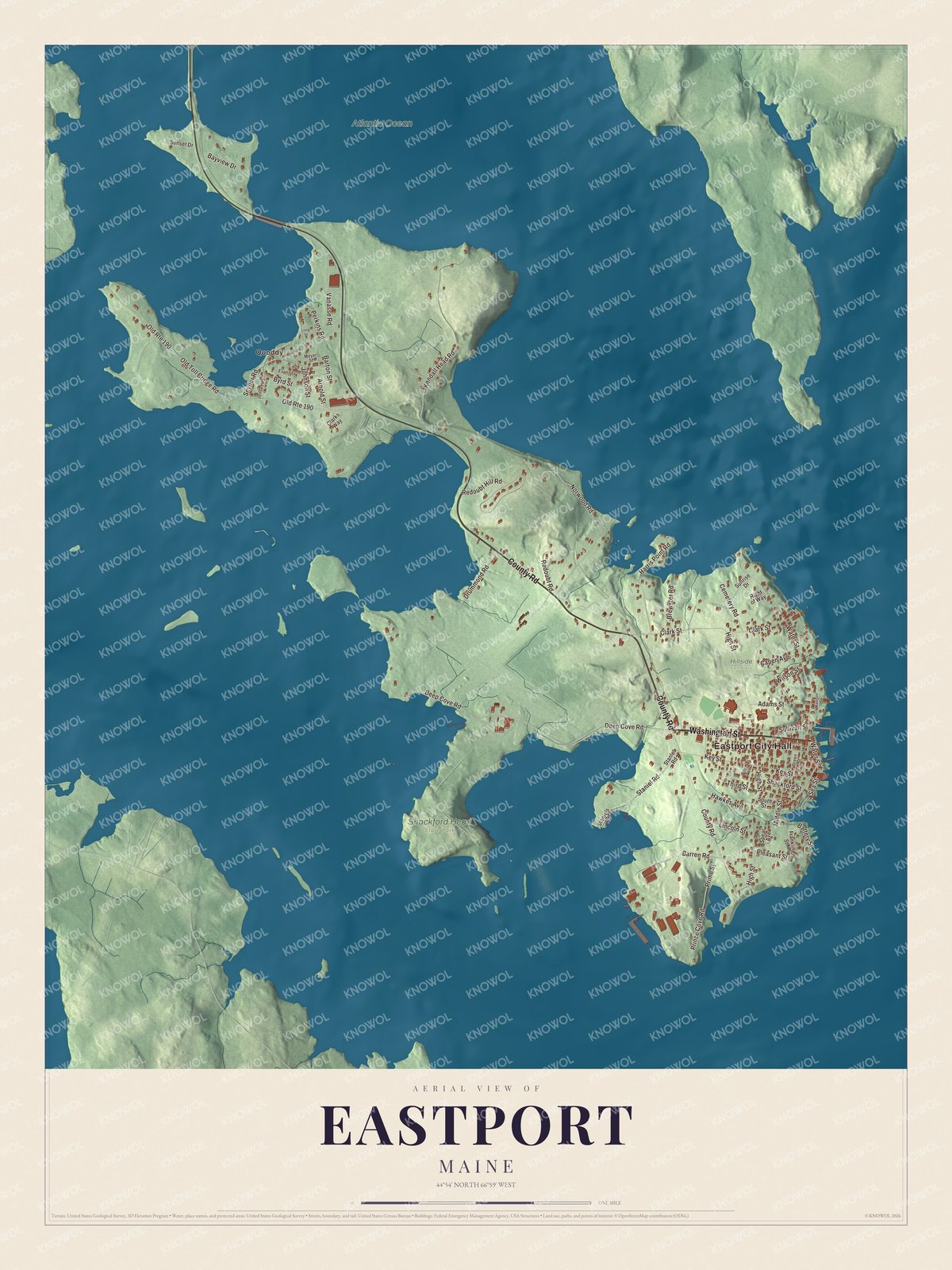
Click to explore a larger preview. The digital watermark does not appear on printed maps.
See it on a wall
The Eastport map as a framed print. Swipe for more.


Tides, festivals and a writer
Off the island’s northeast shore, Old Sow churns between Moose Island and Deer Island, New Brunswick; its page calls it the largest tidal whirlpool in the Western Hemisphere. A 1935 plan, the Quoddy Dam project, set out to make power from the tides of Cobscook and Passamaquoddy bays, and some dikes were built before Congress withdrew its support and the plan was dropped. The Quoddy Dam Model Museum in Eastport keeps a large model of it. In September 2012 a turbine set in Cobscook Bay at the Eastport and Lubec line became, by its page’s account, the first commercial tidal energy project in North America to send power to the grid.
Each summer a ferry crosses to Deer Island, and each Fourth of July Eastport fills with thousands of visitors. The town page calls it the largest Fourth of July celebration in Maine, part of an Old Home Week that traditionally runs from Canada Day to the Fourth, with a parade, fireworks over the bay and Navy and Coast Guard ships making port calls, as they have since 1905. Since 2004 the city has welcomed the new year by dropping a sardine and a maple leaf, and every September it holds the Maine Salmon Festival downtown. Mary Hayden Pike was born in Eastport in 1824. Her antislavery novel Ida May, published in 1854 under the name Mary Langdon, sold 60,000 copies in its first two years and was promoted by Frederick Douglass’ Paper.
Around Eastport
State Route 190 starts downtown where Water Street meets Washington Street, follows Washington Street west past houses and churches, and turns north onto County Road at Deep Cove Road, which leads to the Eastport Municipal Airport. It skirts the east side of Quoddy, a settlement within the city, and leaves Moose Island by causeway. Water Street, Washington Street, County Road and Deep Cove Road are printed on the map, and so are Snyder Road and Perkins Road. Eastport City Hall and Quoddy are printed as well, and the Atlantic Ocean is labeled on the map. The building that carries the city hall name was built in the 1840s as Boynton High School, later held a summer art school run by George Pearse Ennis, and served as city hall from 1974; its page says it has since been converted to housing. The side streets of the island are drawn in too.
This Eastport map makes a fine addition to an office, library or den, and it can help teach children the geography and history of the area. It’s made for everyone who calls Eastport home, from Water Street to Quoddy, as it looks today. Zoom in on the preview above to explore the details, then click here to get your copy of the Eastport, Maine map.

Sources
- Eastport, Maine, Wikipedia
- Fort Sullivan (Maine), Wikipedia
- Eastport Historic District, Wikipedia
- Peavey Memorial Library, Wikipedia
- Boynton Street Historic District, Wikipedia
- Todd House (Eastport, Maine), Wikipedia
- Old Sow, Wikipedia
- Cobscook Bay, Wikipedia
- Mary Hayden Pike, Wikipedia
- Maine State Route 190, Wikipedia
- Eastport City Hall, Wikipedia