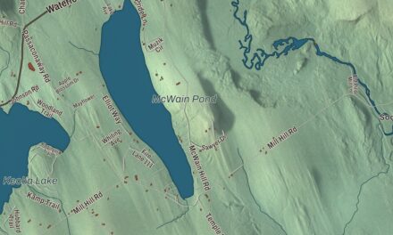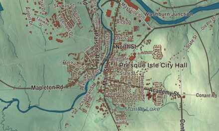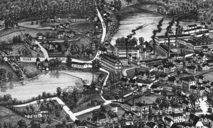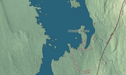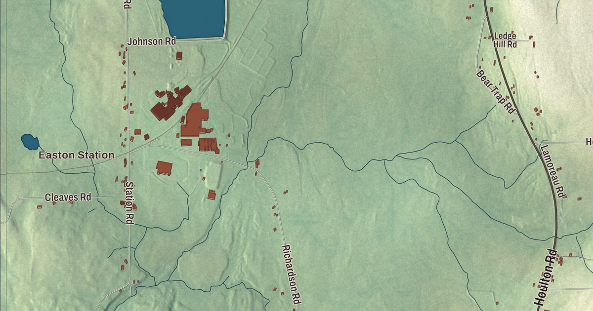
Center Road runs through Easton Center on this map of Easton, Maine, and Ladner Road heads east toward the border. Look for Easton Station, Powers Corner and Houlton Road, then for Lake Josephine, Lindsay Lake, Bennett Lake and Dilling Lake. Click here to purchase a print of this map for your wall.
Easton is a town in Aroostook County, with 1,320 people at the 2020 census.
KNOWOL made this map in 2026 from public survey data and gave it the look of an old atlas. The Census Bureau measures the town at 38.93 square miles, almost all of it land, with just 0.22 square miles of water, and its files give the roads and the town line. United States Geological Survey elevation data shades the ground, which sits at a listed elevation of 807 feet.
Lots of 160 acres
Easton started as wilderness. Henry Wilson, who had taught school in Presque Isle, built the first known home here in 1851, and when Solomon Bolster arrived in 1854 he found only Wilson and Augustus Rackliffe living in the township. In 1855 and 1856 Noah Barker divided it into 142 lots of 160 acres each, a survey that set the town’s layout. The state opened the land to settlers, and on July 26, 1856, it was organized as Fremont Plantation.
A schoolhouse went up in 1858, and the first of several lumber mills followed. By 1860 there were 320 people. Growth was slow at first, and an 1862 record says taxes could be paid in grain or shingles. The first store opened in 1863, growth slowed during the Civil War, and the town was incorporated as Easton in 1865. A starch factory came in 1877 and a steam shingle mill in 1879, and Easton came to be called “one of the greatest potato producing towns in the County.” The 1880s brought Methodists, Free Will Baptists and the Odd Fellows, and the population reached 835 in 1880 and 978 in 1890.
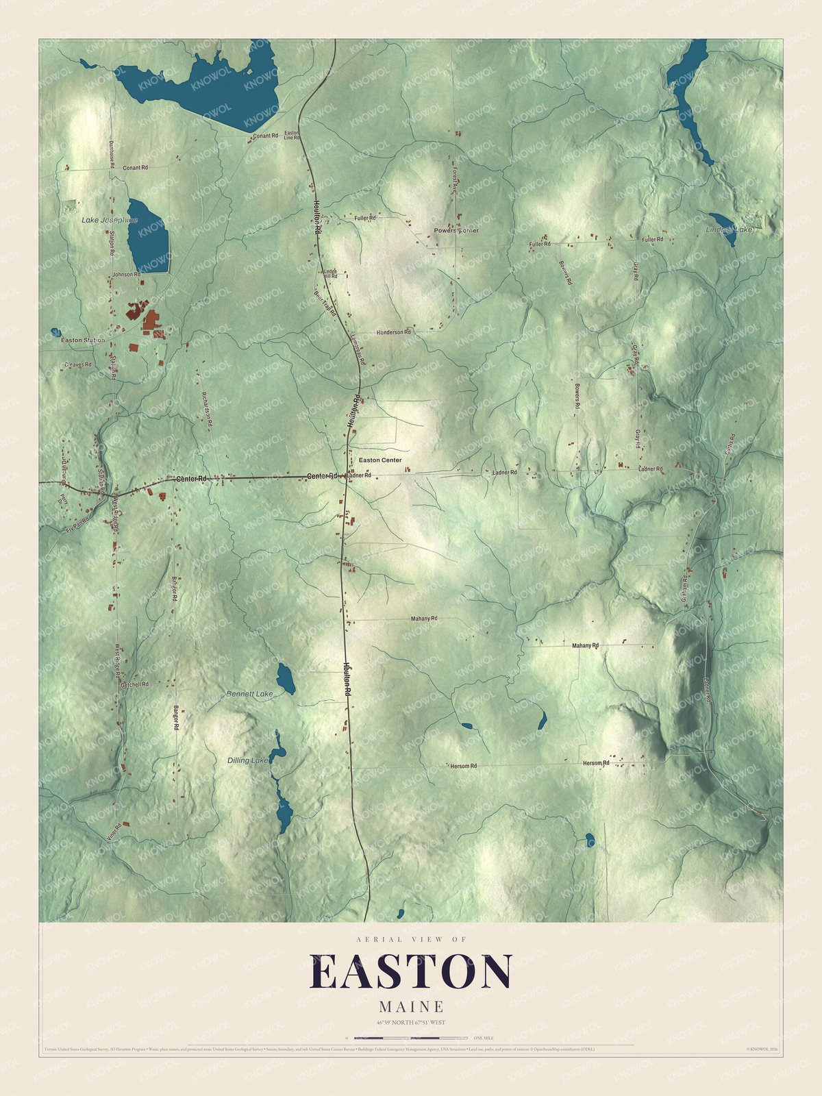
Click to explore a larger preview. The digital watermark does not appear on printed maps.
See it on a wall
The Easton map as a framed print. Swipe for more.


Potatoes and a planetarium
McCain Foods bought a potato processing plant in Washburn in 1975 and opened another in Easton the year after. On Houlton Road, at number 776, the Francis Malcolm Science Center has a planetarium, listed among the town’s places of interest. Easton has its own school system. Daniel Wathen, born in Easton in 1939, was Chief Justice of the Maine Supreme Judicial Court from 1992 to 2001.
Around Easton
Center Road is State Route 10, which once carried U.S. Route 1 through Easton Center. When Route 1 was moved in 1940, the old stretch through the village was left behind and became Route 10, and it ends at U.S. Route 1A two miles west of the Canada border. Past that corner the road goes on as Ladner Road to the Easton and River de Chute border crossing into New Brunswick. Center Road, Houlton Road and Ladner Road are printed on the map, and so are West Ridge Road, Fuller Road and Mahany Road. Easton Station, Easton Center and Powers Corner are printed too, and Lake Josephine, Lindsay Lake, Bennett Lake and Dilling Lake are labeled on the map. The smaller roads are drawn in as well.
This Easton map makes a fine addition to an office, library or den, and it can help teach children the geography and history of the area. It’s made for everyone who calls Easton home, from Easton Station to Easton Center, as it looks today. Zoom in on the preview above to explore the details, then click here to get your copy of the Easton, Maine map.

Sources