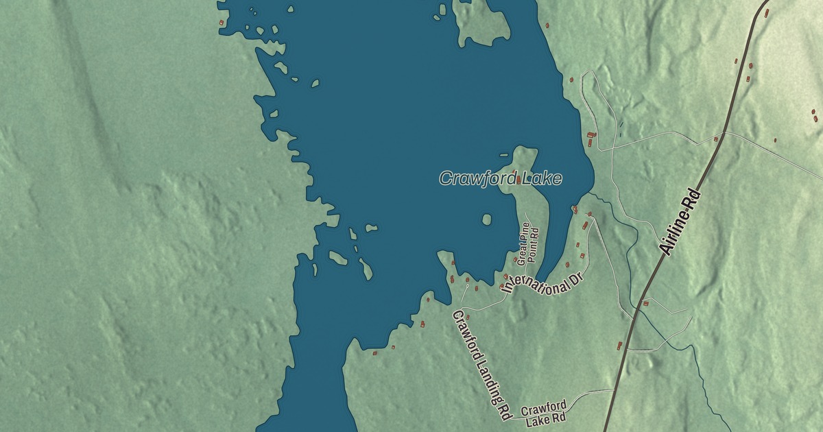
Airline Road is the first name to find on this map of Crawford, Maine, and then comes the water: Crawford Lake, Indian Lake and Beaver Pond. Love Lake Road, Sucker Brook Road, Crawford Arm Road, Pokey Dam Road and Crawford Landing Road fill in the rest of town. Click here to purchase a print of this map for your wall.
Crawford is a town in Washington County, with 93 people at the 2020 census.
KNOWOL made this map in 2026 from public survey data and gave it the look of an old atlas. The town line and roads come from the Census Bureau, which measures Crawford at 37.78 square miles, 3.26 of them under water, and United States Geological Survey elevation data shades the land. The town’s listed elevation is 131 feet. Alexander lies to the east, Cooper to the southeast and Wesley to the southwest.
Adams for seventeen days
Crawford dates to 1828, and it started out under another name. The town was incorporated on February 11, 1828, as Adams, presumably for John Quincy Adams, who was President at the time. Seventeen days later, on February 28, the name was changed to Crawford, in honor of William H. Crawford of Georgia, the former Secretary of the Treasury.
The two names have a history together. William H. Crawford was born in Virginia and grew up in Georgia, where he became one of the state’s most popular politicians. He served Georgia in the United States Senate, went to France as minister during the War of 1812, and then served as Secretary of War and as Secretary of the Treasury, holding the Treasury through the rest of James Madison’s presidency and all of James Monroe’s. In the 1824 election no candidate won a majority of the electoral vote, and the House of Representatives chose among Andrew Jackson, John Quincy Adams and Crawford. The House picked Adams, who asked Crawford to stay on at the Treasury. Crawford said no and went home to Georgia, where he took a seat on the state superior court.
The Airline
State Route 9 runs 289 miles across Maine, and the stretch from Bangor to Calais has long been called “The Airline.” The name goes back to the early 1850s, when it set the inland road apart from the shoreline route; before air travel, an airline meant a shortcut. The last section of the Airline was paved in 1973 in Crawford, and many old sections of the road can still be seen beside the present roadway. Crawford’s own Airline Road shares that old name.
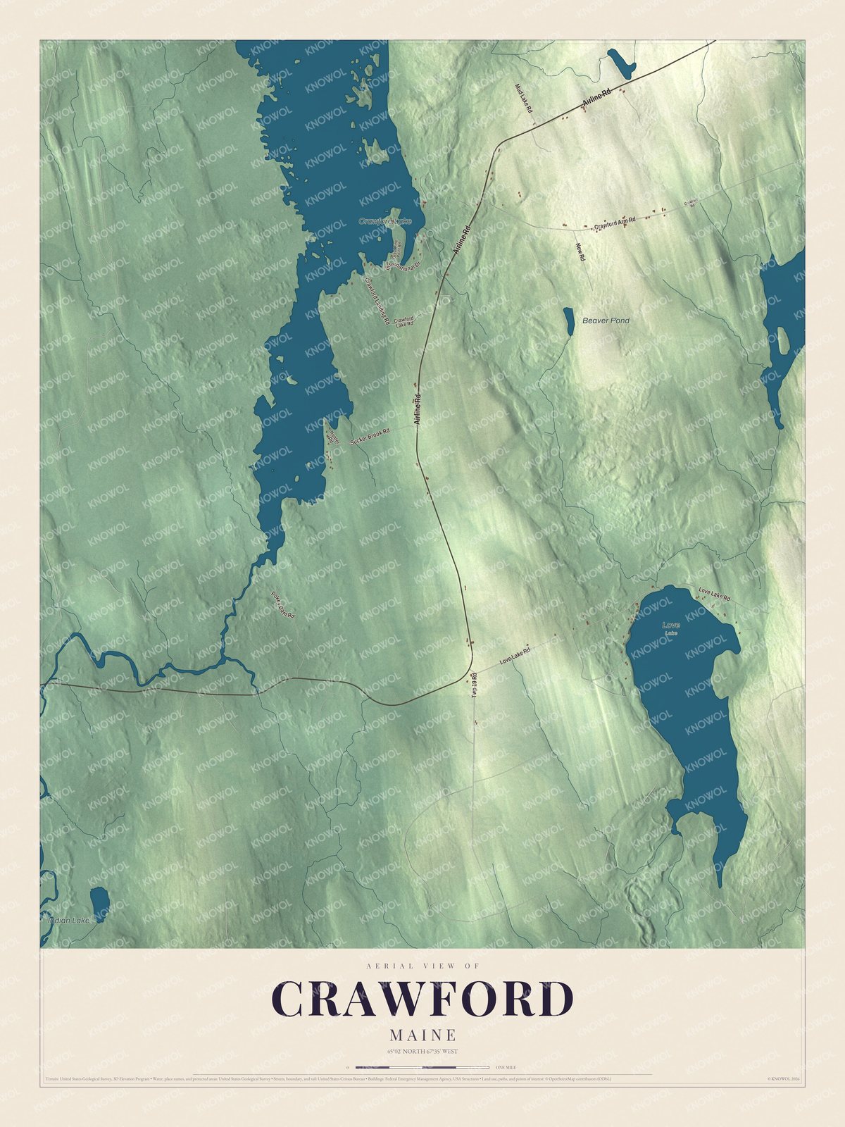
Click to explore a larger preview. The digital watermark does not appear on printed maps.
See it on a wall
The Crawford map as a framed print. Swipe for more.


Around Crawford
Airline Road is printed on the map, and so are Love Lake Road, Sucker Brook Road and Crawford Arm Road. Pokey Dam Road and Crawford Landing Road are printed as well. Crawford Lake, Indian Lake and Beaver Pond are labeled on the map, and the smaller roads around them are drawn in too.
This Crawford map makes a fine addition to an office, library or den, and it can help teach children the geography and history of the area. It’s made for everyone who calls Crawford home, from Airline Road to the shore of Crawford Lake, as it looks today. Zoom in on the preview above to explore the details, then click here to get your copy of the Crawford, Maine map.

Sources