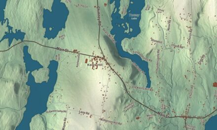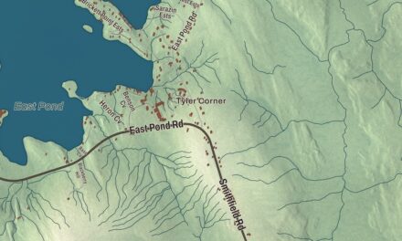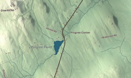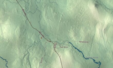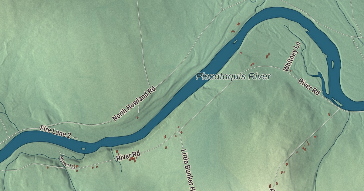
River Road, Bunker Hill Road and the Piscataquis River give you a place to start on this map of Maxfield, with Seboeis Stream close by. Click here to purchase a print of this map for your wall.
Maxfield is a town in Penobscot County.
KNOWOL made this map in 2026 from public survey records, United States Geological Survey elevation data and Census Bureau files. Its atlas layout brings together Maxfield’s roads, buildings, ponds and waterways, and terrain, the town boundary and the pattern of buildings.
A small town on the Piscataquis
Maxfield lies along the Piscataquis River. Maxfield was incorporated in 1824 from part of the Bridgton Academy Grant, and the 2020 census counted 89 residents.
In the early 1890s Maxfield was part of the range of Old Ranger, a wild black bear said to weigh 400 pounds, who raided orchards for years and survived many earlier attempts to bring him down before a local hunting party shot him. His obituary in the New York Sun said the whole of Penobscot County knew the bear.
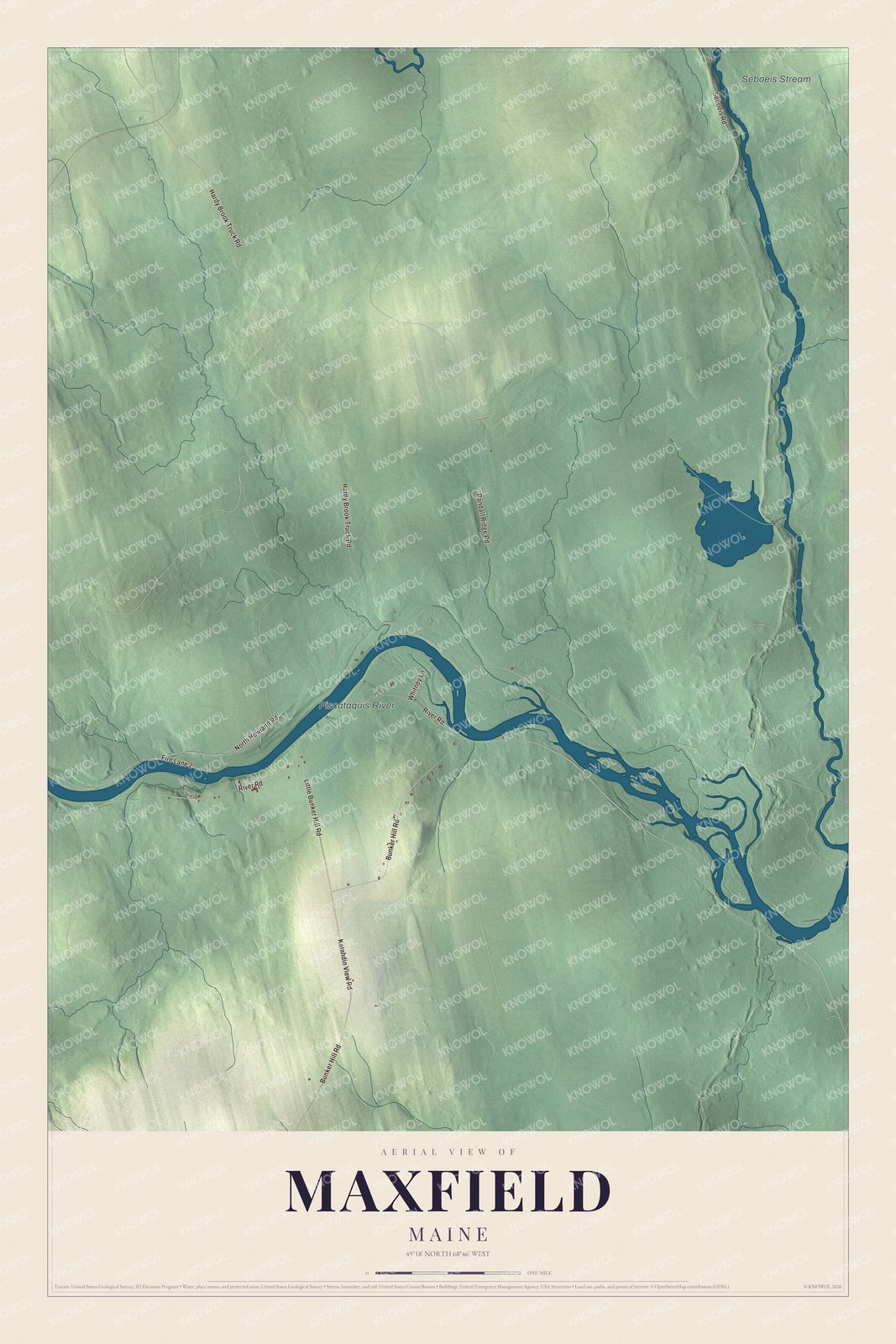
Click to explore a larger preview. The digital watermark does not appear on printed maps.
See it on a wall
The Maxfield map as a framed print. Swipe for more.


Explore the Maxfield map
Start with Hardy Brook Truck Road, then follow North Howland Road, River Road, Randall Ridge Road, Bunker Hill Road and Katahdin View Road across town. Those are printed names, and the Piscataquis River and Seboeis Stream are labeled too.
Compare the scattered buildings with the woods and the river valley. Enlarge the preview to follow the roads you drive.
For people who call Maxfield home, this map shows the town as it looks today. Put it in your office, library, or den, or use it to teach children the geography and history of the area. Zoom in on the preview above to explore the details, then click here to get your copy of the Maxfield, Maine map.

Sources