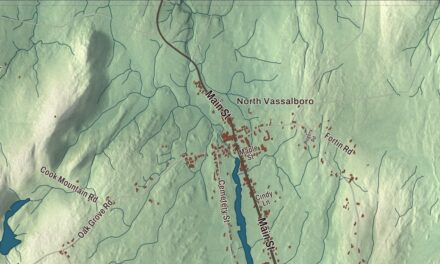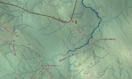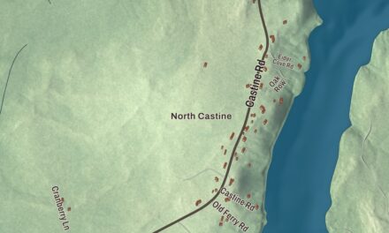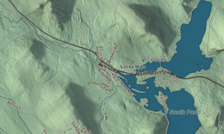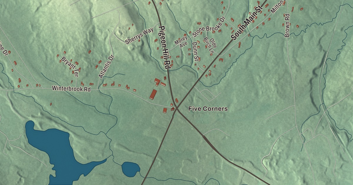
If you grew up around Five Corners, you’ll know Lewiston Street and Elm Street, and this map follows them out from the Little Androscoggin River. Click here to purchase a print of this map for your wall.
Mechanic Falls is a town in Androscoggin County.
KNOWOL made this map in 2026 from public survey records, United States Geological Survey elevation data and Census Bureau files. Its atlas layout brings together Mechanic Falls’s streets, buildings, ponds and waterways, and terrain, the town boundary and the pattern of buildings.
A mill village on both banks
Mechanic Falls grew up astride the Little Androscoggin River, which once formed the dividing line between Poland and Minot. Dean Andrews settled the Minot side in 1836, drawn by its good farm soil and the water power for mills at the falls. The town takes its name from the mechanics who ran its early industrial works.
The St. Lawrence and Atlantic Railroad reached the village in the late 1840s and opened it to business and trade on the direct line between Portland and Montreal. The first paper mill started in 1850. The Evans Rifle Manufacturing Company, organized in 1873, made repeating rifles popular with frontiersmen such as Kit Carson and Buffalo Bill Cody, and John Witham Penney began building steam engines and machinery in 1872. His sons joined him in 1886 as J.W. Penney and Sons.
Mechanic Falls was set off and incorporated as a town on March 22, 1893. Its last paper mill closed in 1981.
Two inventors with Mechanic Falls roots
Frank Haven Hall was born in Mechanic Falls in 1841. As superintendent of the Illinois Institution for the Blind, he introduced the Hall Braille Writer in 1892, and the machine, together with his advocacy, helped make braille the main written form for people who are blind.
Freelan Oscar Stanley, later the inventor of the Stanley Steamer, served as headmaster of the high school in Mechanic Falls. He met his wife, Flora, a teacher and pianist, while he lived here.
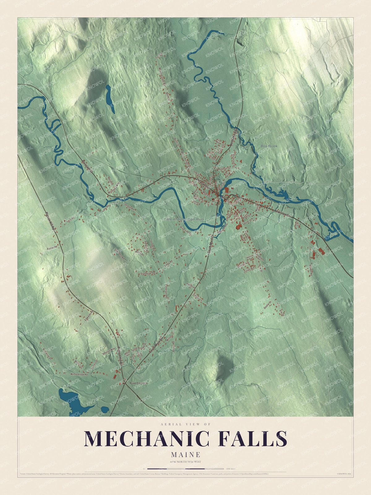
Click to explore a larger preview. The digital watermark does not appear on printed maps.
See it on a wall
The Mechanic Falls map as a framed print. Swipe for more.


Explore the Mechanic Falls map
Start at Five Corners. Lewiston Street, North Main Street, Pleasant Street, South Main Street, Pigeon Hill Road and Elm Street are printed names that lead out from the center.
The Little Androscoggin River and Bog Brook are labeled on the map. Follow the river through the village and compare the tight downtown blocks with the farms and woods beyond.
For people who call Mechanic Falls home, this map shows the town as it looks today. Put it in your office, library, or den, or use it to teach children the geography and history of the area. Zoom in on the preview above to explore the details, then click here to get your copy of the Mechanic Falls, Maine map.

Sources