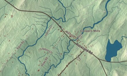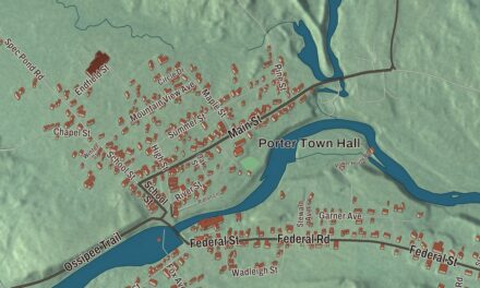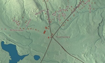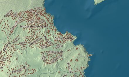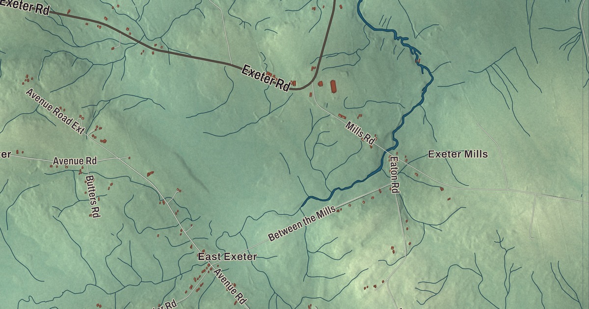
Exeter Mills, Exeter Corners, East Exeter and South Exeter are all printed on this map of Exeter, Maine, along with Stubbs Corner. Exeter Road, Valley Avenue Road, Stetson Road and Garland Road are here too. Click here to purchase a print of this map for your wall.
Exeter is a town in Penobscot County, with 963 people at the 2020 census.
KNOWOL made this map in 2026 from public survey data and gave it the look of an old atlas. The Census Bureau measures the town at 38.59 square miles, nearly all of it land, with just 0.03 square miles of water, and its files give the roads and the town line. United States Geological Survey elevation data shades the ground, which has a listed elevation of 243 feet.
Blaisdelltown
Exeter’s land was first granted to a school. In 1793 the Commonwealth of Massachusetts granted the township to Marblehead Academy in Marblehead, Massachusetts, and in 1800 Moses Hodsdon of Kenduskeag divided it into lots. Dr. John Blaisdell served as agent for the early proprietors, among them Benjamin Jay and William Turner of Boston, and until it was incorporated the place was known as Blaisdelltown. Lemuel Tozier made the first settlement in 1801.
Anna M. Stevens taught the first school in 1804. The town was incorporated on February 16, 1811, and took the name Exeter in memory of Exeter, New Hampshire, where some of its settlers had come from. Levi Stevens built the first mill two years later, in 1813. By 1859 Exeter had 1,853 people, and by 1880 the count had dropped to 1,274; the 2010 census found 1,092.
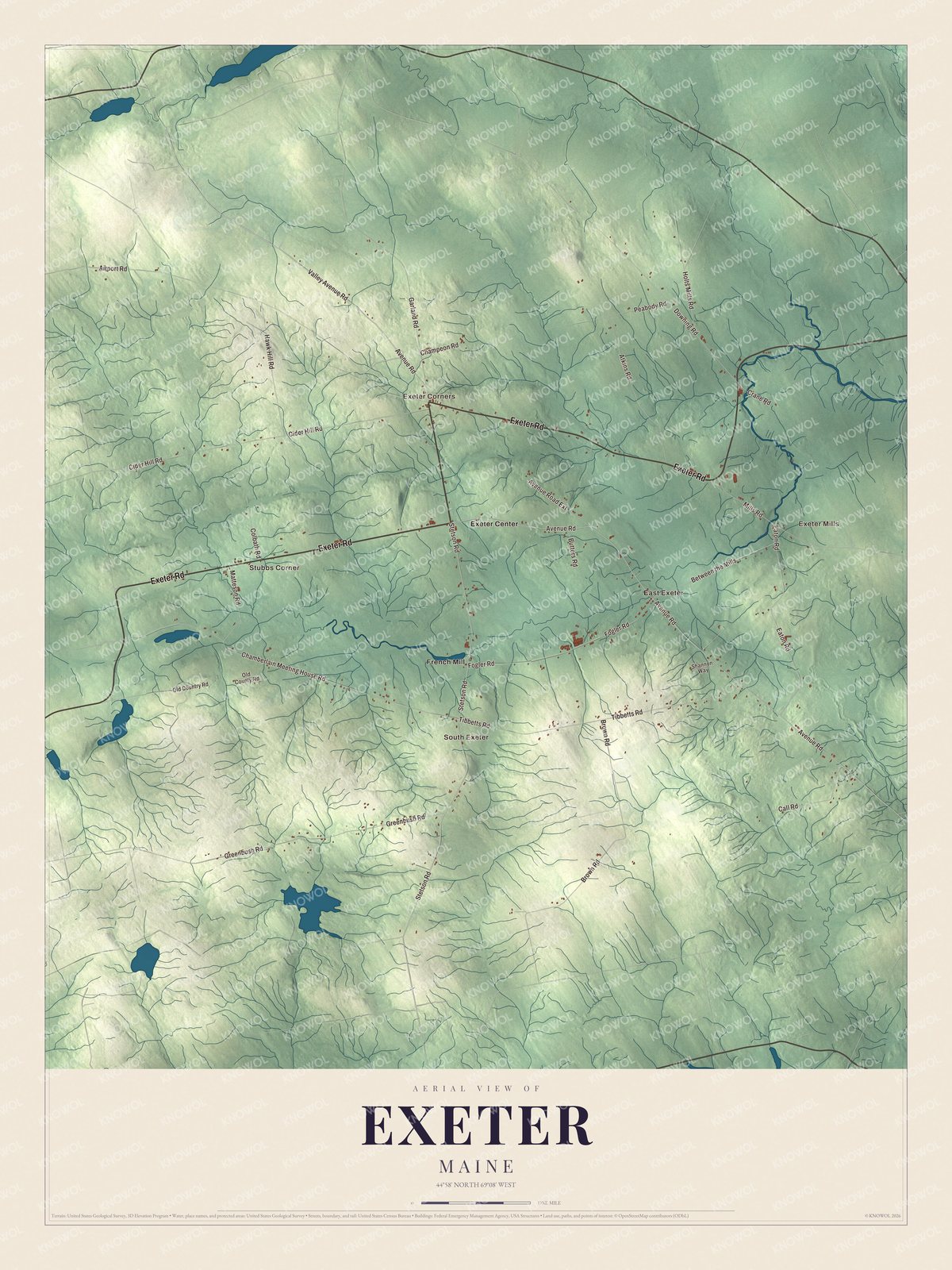
Click to explore a larger preview. The digital watermark does not appear on printed maps.
See it on a wall
The Exeter map as a framed print. Swipe for more.


A scientist from Exeter
Charles Branch Wilson was born in Exeter on October 20, 1861. He studied at Colby College, taught science for decades at what is now Westfield State University in Massachusetts, and became an expert on copepods, minute crustaceans. In 1901 the United States National Museum of the Smithsonian Institution trusted him with its entire collection of copepods, and he worked for years with the federal fisheries service on surveys of lakes and rivers. His page counts three monographs on copepods as his greatest works, one of them on the copepods gathered by the research ship Albatross on voyages from 1887 to 1910. The museum named him an Honorary Collaborator in 1933.
Around Exeter
Exeter Road and Valley Avenue Road are printed on the map, and so are Avenue Road, Stetson Road, Garland Road and Downing Road. Exeter Mills, Exeter Corners, East Exeter, South Exeter and Stubbs Corner are printed too. The smaller roads are drawn in as well.
This Exeter map makes a fine addition to an office, library or den, and it can help teach children the geography and history of the area. It’s made for everyone who calls Exeter home, from Exeter Mills to South Exeter, as it looks today. Zoom in on the preview above to explore the details, then click here to get your copy of the Exeter, Maine map.

Sources