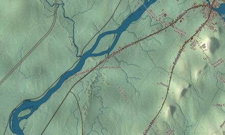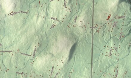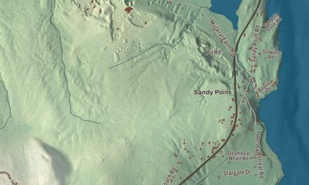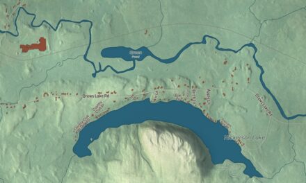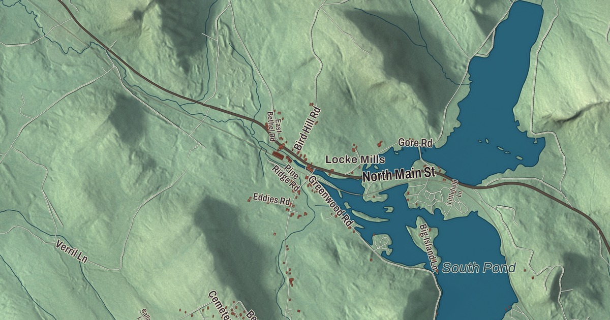
Locke Mills and Willis Mill are two names to find on this Greenwood map. South Pond, Twitchell Pond and Hicks Pond bring the town’s water features into view. Click here to purchase a print of this map for your wall.
Greenwood is a town in Oxford County.
KNOWOL made this map in 2026 from public survey records, with modern geography and the look of a vintage atlas. United States Geological Survey elevation data gives the terrain its shading. Census Bureau files supply the roads and municipal boundary, with buildings and water features brought together in the aerial view.
A town of farms and mills
Greenwood’s municipal history gives its incorporation date as February 2, 1816. The earlier township included land granted to Phillips Academy in 1800, and residents organized a plantation government in 1813. They petitioned to call the incorporated town Russia, but Greenwood was the name approved.
The town history considers Alexander Greenwood, a regional surveyor, the probable source of the name, while noting another explanation based on the forests. Farming and manufacturing were early occupations. A saw and shingle mill was built at Greenwood City in 1805, and the wood industry later concentrated at Locke Mills. The 2020 census counted 774 residents.
An inventor and a naturalist
Leon Leonwood Bean was born in Greenwood in 1872. His later business was established in Freeport, where he developed boots combining leather uppers with rubber bottoms and sold outdoor equipment by mail.
Addison Emery Verrill was born here in 1839 and collected rocks, plants, shells and insects as a boy. He later studied at Harvard and taught zoology at Yale from 1864 to 1907. His scientific work included marine invertebrates and museum collections, and Yale’s Peabody Museum established a medal in his name in 1959.
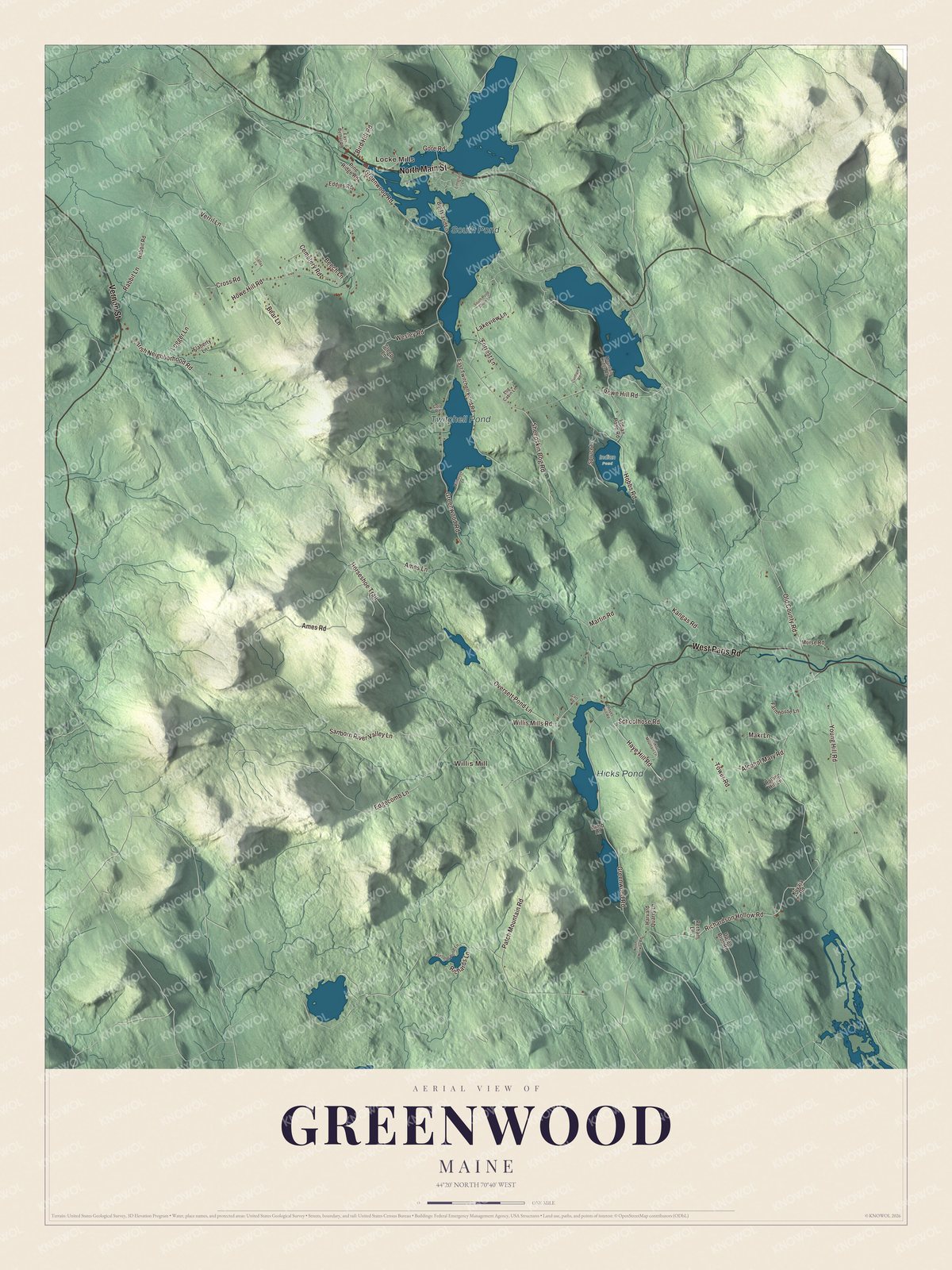
Click to explore a larger preview. The digital watermark does not appear on printed maps.
See it on a wall
The Greenwood map as a framed print. Swipe for more.


A closer look at Greenwood
Locke Mills and Willis Mill are printed on the artwork. North Main Street, West Paris Road, Vernon Street, Richardson Hollow Road, Young Hill Road and Greenwood Road carry names too.
South Pond, Twitchell Pond and Hicks Pond are all named on the map. Start with one of the ponds or a road you know, then explore the surrounding buildings and terrain within Greenwood’s town boundary.
For people who call Greenwood home, the map brings familiar places together as it looks today. It can hang in an office, library or den, or help teach children the geography and history of the area. Zoom in on the preview above to explore the details, then click here to get your copy of the Greenwood, Maine map.

Sources