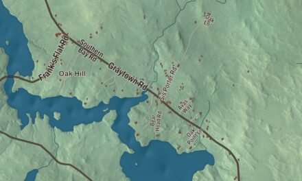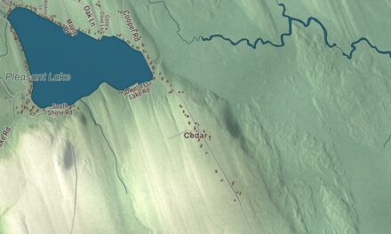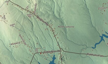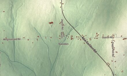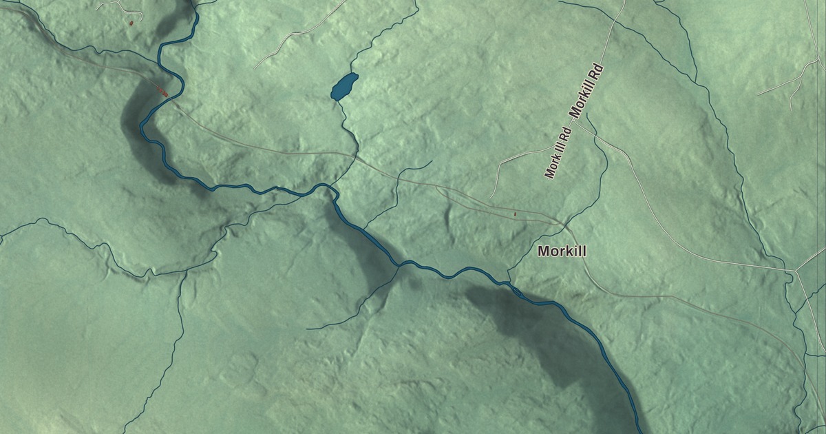
Morkill, Greenville Junction and The Highlands give you familiar places to begin on the Greenville map. Pritham Avenue and Moosehead Lake Road are named too, along with the local ponds. Click here to purchase a print of this map for your wall.
Greenville is a town in Piscataquis County, at the lower end of Moosehead Lake.
KNOWOL made this map in 2026 from public survey records, with modern geography and the look of a vintage atlas. United States Geological Survey elevation data gives the terrain its shading. Census Bureau files supply the roads and municipal boundary, with buildings and water features brought together in the aerial view.
From Wilson Stream to the lake
The land that became Greenville was granted to Thornton Academy in Saco around 1812. Nathaniel Haskell bought the grant in 1824 and began clearing land near Wilson Pond with Oliver Young and John Smith. A sawmill followed on Wilson Stream in 1829, and a gristmill the next year.
Henry Gower began developing land beside Moosehead Lake in 1835, putting up a hotel and store. Greenville incorporated from Haskell Plantation in 1836, taking a name connected to its green forests. The town had 1,437 residents at the 2020 census.
Travel by water and rail
A small steamboat launched in 1836 to tow logs on the lake. Later lake vessels included several named Katahdin; the present vessel bearing that name was built in 1914. Lake travel became part of the region’s tourism as well as its lumber history.
The Bangor and Piscataquis Railroad reached Greenville Junction in 1884. The International Railway of Maine followed through the village in 1888. Inns and hotels accommodated travelers coming for hunting, fishing and the lake landscape.
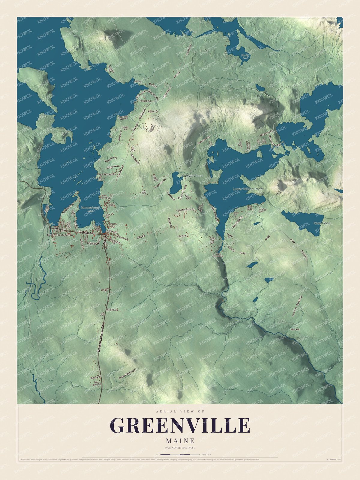
Click to explore a larger preview. The digital watermark does not appear on printed maps.
See it on a wall
The Greenville map as a framed print. Swipe for more.


A closer look at Greenville
Find Morkill and Greenville Junction, then look for The Highlands. Moosehead Lake Road, West Street, Pritham Avenue, Main Street, Lily Bay Road and Craft Street are printed by name. These roads let you explore the town’s buildings and terrain from a familiar starting point.
Lower Wilson Pond, Rum Pond and Sawyer Pond have their own printed names. Greenville is drained by Wilson Stream and sits beside Moosehead Lake. The ponds and roads give you several ways into the same aerial view.
For people who call Greenville home, the map brings familiar places together as it looks today. It can hang in an office, library or den, or help teach children the geography and history of the area. Zoom in on the preview above to explore the details, then click here to get your copy of the Greenville, Maine map.

Sources