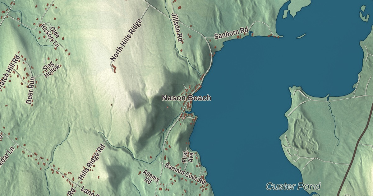
Nason Beach and Foggs Corner give this Greene map a familiar place to begin. Allen Pond and the other printed water names let you explore more of the town. Click here to purchase a print of this map for your wall.
Greene is an inland town in Androscoggin County.
KNOWOL made this map in 2026 from public survey records, combining modern geography with the look of a vintage atlas. United States Geological Survey elevation data shapes the terrain, and Census Bureau files supply the roads and municipal boundary. Buildings, ponds and waterways complete the aerial view.
A name and changing boundaries
Greene incorporated in 1788 and was named for Nathanael Greene. Some of its land became part of Lewiston in 1852, and another portion went to Webster, now Sabattus, in 1895. The town had 4,376 residents at the 2020 census.
Aaron Daggett was born in Greene in 1837 and studied at the Maine State Seminary, later Bates College. He served as a Union Army officer and continued his military career after the Civil War. His biography also records his support for abolition and temperance, alongside the career that took him beyond his hometown.
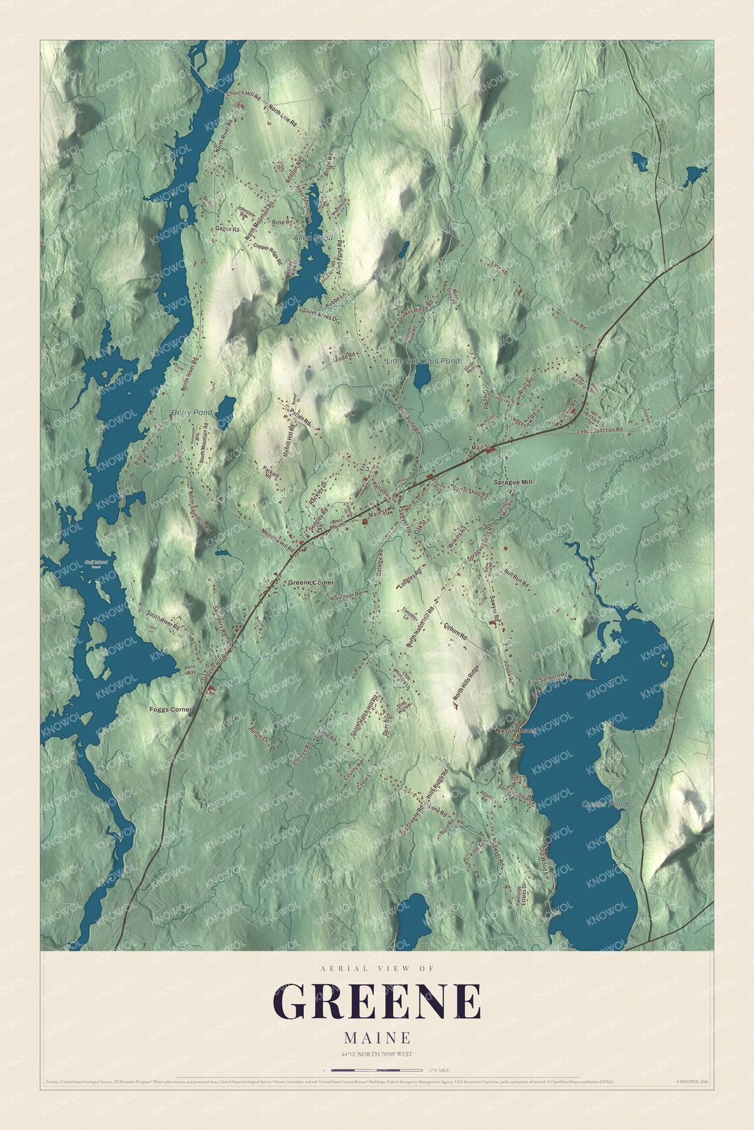
Click to explore a larger preview. The digital watermark does not appear on printed maps.
See it on a wall
The Greene map as a framed print. Swipe for more.


Exploring the Greene map
Find Nason Beach, Foggs Corner, Greene Corner and Sprague Mill. College Road, Barrel Shop Road, North Line Road, Church Hill Road, Leeds Junction Road and Allen Pond Road are printed on the map. These names give you a way to explore the roads and building patterns within Greene’s present boundary.
Custer Pond, Allen Pond, Berry Pond and Little Sabattus Pond have printed names of their own. The ponds, roads and terrain are brought together in one aerial view.
For people who call Greene home, the map brings familiar roads and places together as it looks today. Hang it in an office, library or den, or use it to teach children the geography and history of the area. Zoom in on the preview above to explore the details, then click here to get your copy of the Greene, Maine map.

Sources