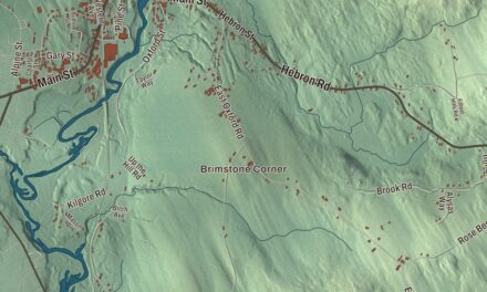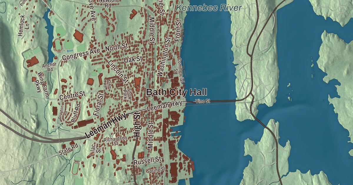
Bath is the City of Ships, on the Kennebec, where the shipyards have launched vessels since the 1740s. This map prints Bath City Hall and North Bath, Washington Street, High Street, Middle Street, Centre Street, Leeman Highway and Old Brunswick Road, with the Kennebec River, the Androscoggin River and Sewall Woods. Click here to purchase a print of this map for your wall.
Bath is a city in Sagadahoc County, and it had 8,766 people at the 2020 census.
KNOWOL made this map in 2026 from public survey data and gave it the look of an old atlas. The shaded terrain comes from United States Geological Survey elevation data, and the roads and the city line come from the Census Bureau, which counts 13.22 square miles here, 4.12 of them water. Bath is one of the towns bordering Merrymeeting Bay, a large freshwater tidal bay, and it’s the county seat.
Sagadahoc
The Abenaki called this place Sagadahoc, “mouth of big river,” for the Kennebec. The Popham Colony was set up downstream in 1607, and though it failed, its colonists built the Virginia of Sagadahoc, which the city page calls the New World’s first oceangoing vessel built by English shipwrights. Settlers came back around 1660. Bath was incorporated as part of Georgetown in 1753 and set off as a town of its own on February 17, 1781. Its postmaster, Dummer Sewall, named it for Bath in Somerset, England. It became a city on June 14, 1847, and the county seat in 1854.
The City of Ships
Shipbuilding here began in 1743, when Jonathan Philbrook and his sons built two vessels. Since then about 5,000 vessels have been launched from Bath, and at one time the city had more than 200 shipbuilding firms. By the middle of the 19th century it was the nation’s fifth largest seaport, and its clipper ships sailed to ports around the world. The Sewalls were among the great shipbuilding families. Arthur Sewall, born in Bath in 1835, launched the Roanoke in 1892, in its day the world’s largest wooden ship, and in 1896 he was William Jennings Bryan’s running mate as the Democratic nominee for vice president. Sewall Woods is printed on the map.
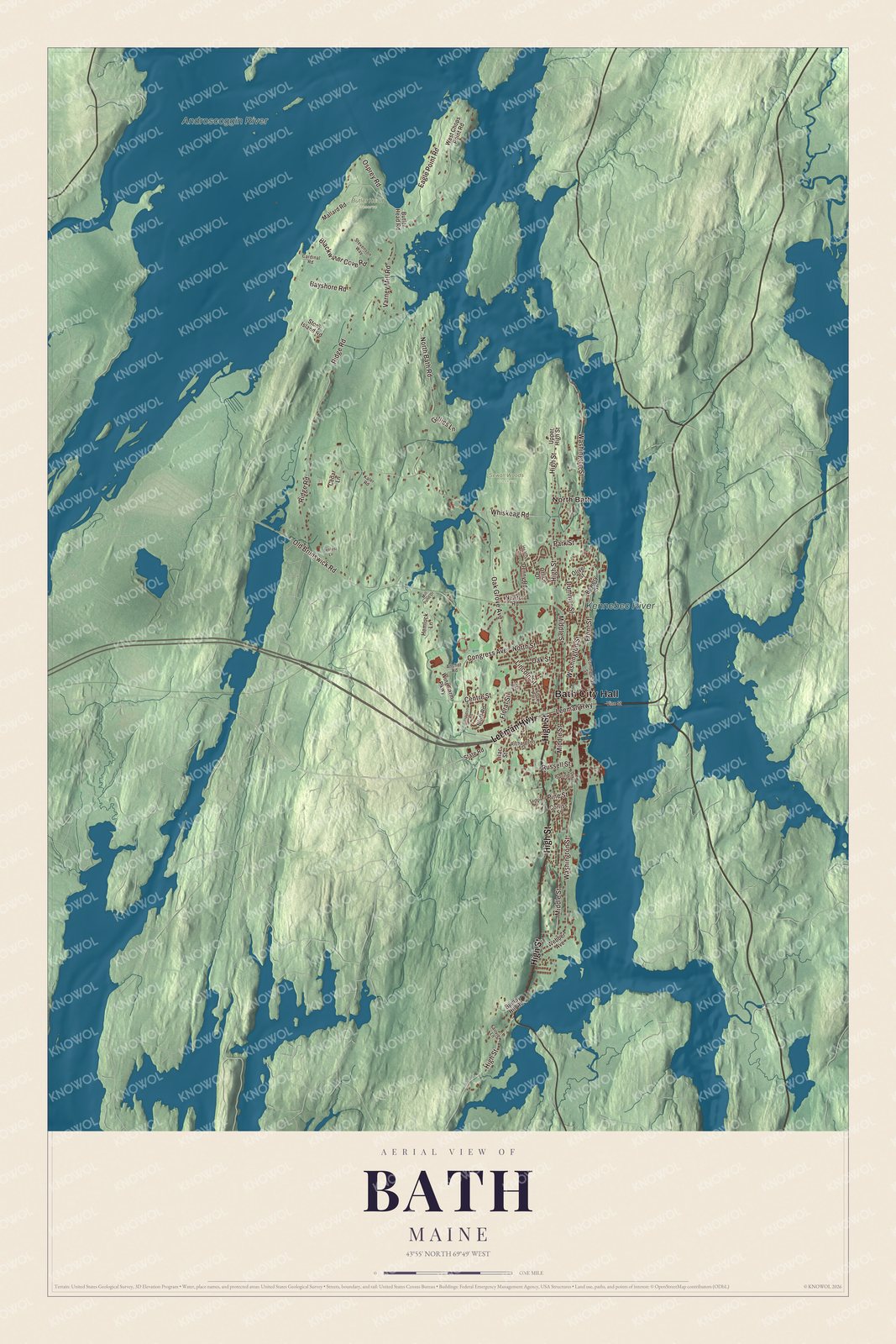
Click to explore a larger preview. The digital watermark does not appear on printed maps.
See it on a wall
The Bath map as a framed print. Swipe for more.


Washington Street is printed on the map. At 451 Washington Street, the Maine Maritime Museum keeps the Percy and Small Shipyard, the last commercial yard to build wooden ships in Bath and, by the museum’s account, the nation’s only surviving site where large wooden sailing vessels were built. The yard launched the six-masted schooner Wyoming in 1909, the largest known wooden ship ever built, and a 444-foot sculpture on the old ways where she was built now evokes her. The museum’s schooner Mary E., launched in Bath in 1906, is the oldest Maine-built fishing schooner still sailing. On Washington Street at the corner of Winter Street, the Winter Street Church of 1843 and 1844 is an important early example of Gothic Revival in New England. Local preservationists saved it from demolition in 1971, and it’s a community center now.
Bath Iron Works stands on the river too. General Thomas W. Hyde, a Bath native and Civil War veteran, built it up from a shop that made windlasses for wooden ships and incorporated it in 1884. Its first ship was the gunboat Machias, and in World War II it launched a destroyer about every 17 days. High Street is printed on the map. At 616 High Street, west of the shipyard, stands the Hyde Mansion of 1913, built for his son John, who bought the works in 1905 and is credited with making it a leading naval shipyard. It’s now the home of the Hyde School.
Middle Street and Centre Street are printed as well. In 1915 Fred Cox, owner of Hallet’s Drug Store on Front Street, bought the Seth Thomas street clock that stood at the corner of Front and Centre streets. The Crooker family later gave it to the city on the condition that it keep running. North Bath is printed on the map. In rural northern Bath, on Whiskeag Road, is the stone house William King built in 1812 as a summer retreat. King led the drive for Maine statehood and became its first governor.
This Bath map makes a handsome addition to an office, library or den, and it can teach children the geography and history of the City of Ships. It’s made for anyone who calls Bath home, from North Bath to Washington Street, as it looks today. Zoom in on the preview above to explore the details, then click here to get your copy of the Bath, Maine map.

Sources
- Bath, Maine, Wikipedia
- Merrymeeting Bay, Wikipedia
- Arthur Sewall, Wikipedia
- Maine Maritime Museum, Wikipedia
- Wyoming (schooner), Wikipedia
- Winter Street Church, Wikipedia
- Bath Iron Works, Wikipedia
- Hyde Mansion, Wikipedia
- Gov. William King House, Wikipedia
- National Register of Historic Places listings in Sagadahoc County, Maine, Wikipedia