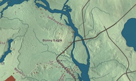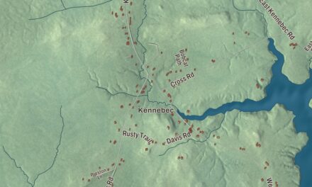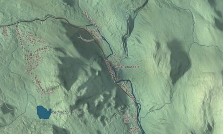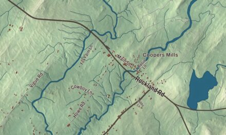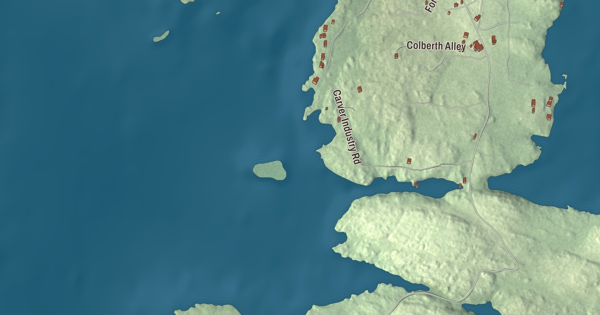
Beals is an island town across Moosabec Reach from Jonesport, and nearly nine tenths of its area lies under the sea. This map prints its roads by name: Bayview Drive, Bridge Street, Black Duck Cove Road, Alleys Bay Road, South Fire Road and Carver Industry Road. Click here to purchase a print of this map for your wall.
Beals is in Washington County, and it had 443 people at the 2020 census.
KNOWOL made this map in 2026 from public survey data and gave it the look of an old atlas. The shaded terrain comes from United States Geological Survey elevation data, and the roads and the town line come from the Census Bureau, which counts 48.33 square miles here, only 5.62 of them land and 42.71 water.
An island town since 1925
Beals takes its name from Manwarren Beal, one of its early settlers. For a long time the island was part of Jonesport, and on April 7, 1925, it was set off and incorporated as a town of its own. The main settlement is on Beals Island, and in 1958 a bridge was built across Moosabec Reach to Jonesport on the mainland. A short bridge to the southeast links Beals Island to Great Wass Island, which is also part of the town. Jonesport and Beals still share their schools: children go to Beals Elementary School, and then to Jonesport-Beals High School, which has about 100 students. Bayview Drive, Bridge Street, Black Duck Cove Road, Alleys Bay Road, South Fire Road and Carver Industry Road are all printed on the map.
Great Wass Island
Great Wass is about five miles long and a mile and a half wide, the biggest of the more than 43 islands in the Great Wass Archipelago off Jonesport. The 1,450-acre Great Wass Island Preserve is on the island. The island’s interior holds coastal Maine’s largest stand of jack pine, along with bakeapple, deer-hair sedge and the dragon’s mouth orchid. The archipelago is a nature preserve that Beals shares with Jonesport, and Jonesport’s page says the many uninhabited islands there give nesting ground to eiders, razorbills, guillemots, loons and eagles.
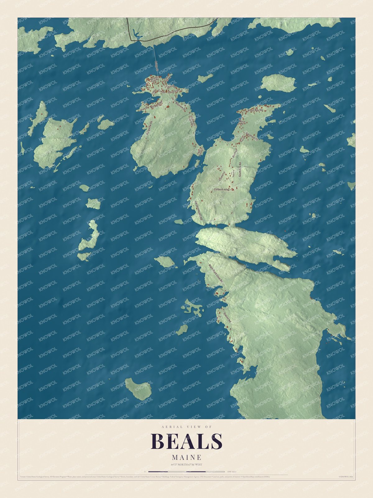
Click to explore a larger preview. The digital watermark does not appear on printed maps.
See it on a wall
The Beals map as a framed print. Swipe for more.


A boat named Emma
The fishing sloop Emma C. Berry, built in Noank, Connecticut, in 1866, ended her fishing days around 1924 on the flats of Beals. Milton Beal bought her in 1926 and used her as a coastal freighter, and Will Beal had put a gasoline engine in her about 1916. She was later restored to her first rig and given to the Mystic Seaport Museum, and she was declared a National Historic Landmark in 1994 as the last known surviving American smack, one of the oldest commercial vessels left in the country.
This Beals map makes a handsome addition to an office, library or den, and it can teach children the geography and history of an island town on the Gulf of Maine. It’s made for anyone who calls Beals home, from Black Duck Cove Road to Alleys Bay Road, as it looks today. Zoom in on the preview above to explore the details, then click here to get your copy of the Beals, Maine map.

Sources