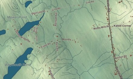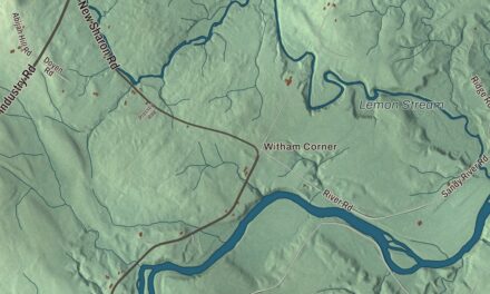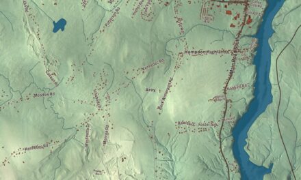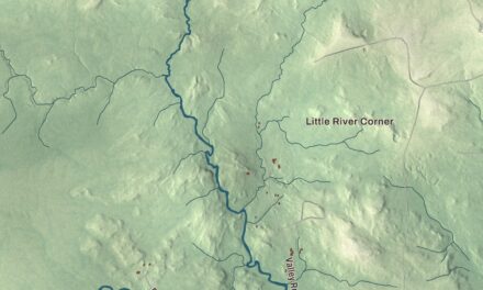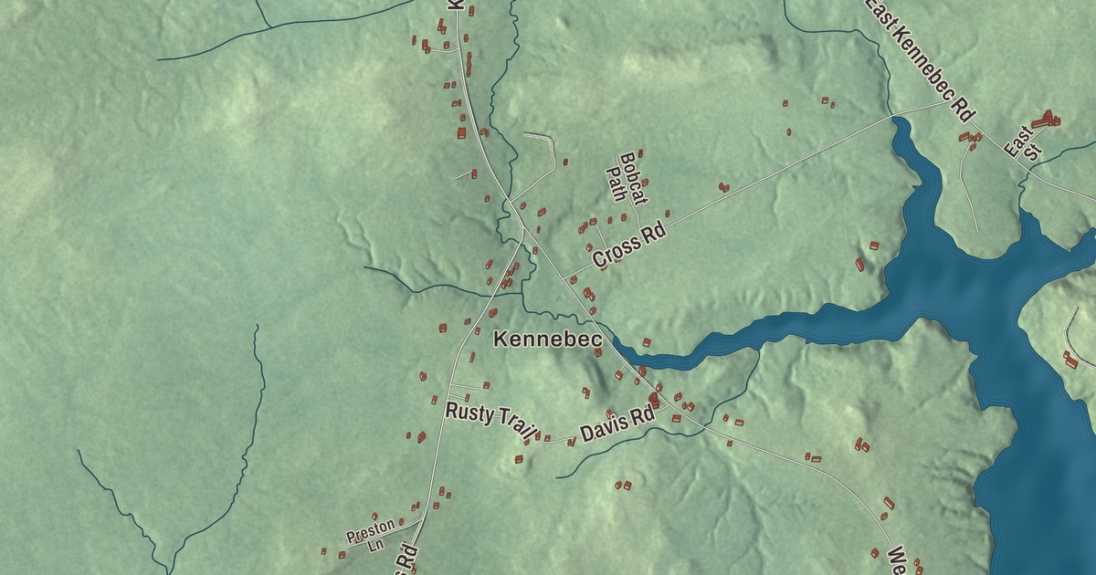
Main Street and Court Street give you roads to begin exploring this Machias map. Find Machias River and the buildings around the familiar parts of town. Click here to purchase a print of this map for your wall.
Machias is a town in Washington County.
KNOWOL made this map in 2026 from public survey records, United States Geological Survey elevation data and Census Bureau files. Its atlas layout brings together Machias’s streets, buildings, neighborhoods, ponds and waterways, and terrain, the town boundary and the pattern of buildings.
A library gift and a teacher-training school
Machias was incorporated in 1784. Mills, lumbering, shipbuilding and other workshops were part of its nineteenth-century economy.
Railroad executive Henry Homes Porter helped fund a permanent home for the town’s library. Designed by Boston architect George A. Clough and completed in 1893, Porter Memorial Library stands on Court Street in a granite Romanesque Revival building.
The University of Maine at Machias began in 1909 as Washington State Normal School, an institution for training teachers. Its later name reflects its place in the University of Maine System.
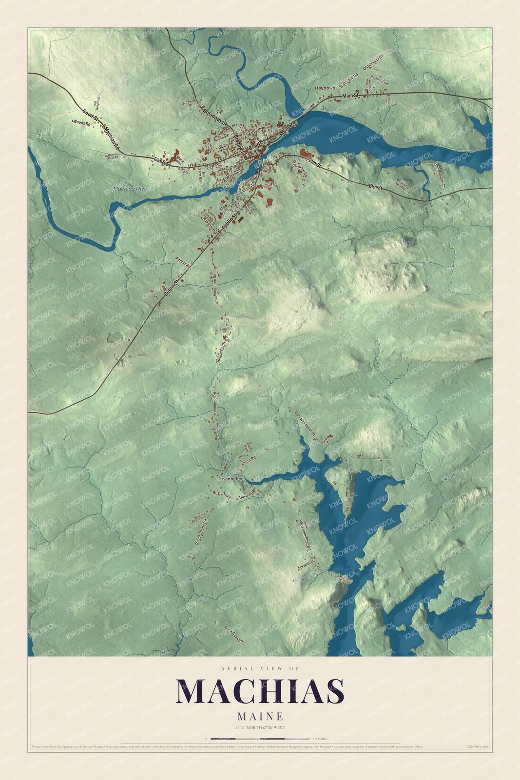
Click to explore a larger preview. The digital watermark does not appear on printed maps.
See it on a wall
The Machias map as a framed print. Swipe for more.


Explore the Machias map
Kennebec and Hoyttown are printed place names on this map. Main Street, Court Street and Broadway give you roads to find in the aerial view.
Dublin Street, Elm Street and Machias Road are printed too, along with Machias River. Look for Court Street, the street where Porter Memorial Library stands, then compare the town’s streets and buildings with the water and terrain.
For people who call Machias home, this map shows the town as it looks today. Put it in your office, library, or den, or use it to teach children the geography and history of the area. Zoom in on the preview above to explore the details, then click here to get your copy of the Machias, Maine map.

Sources