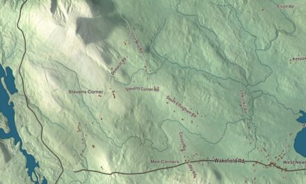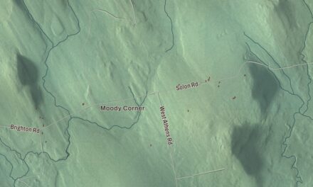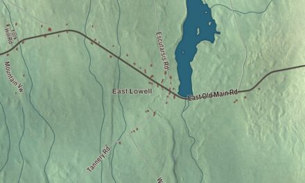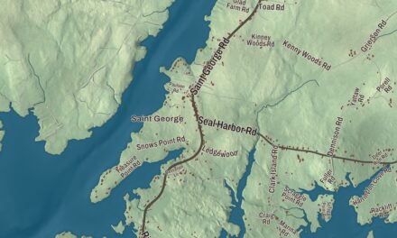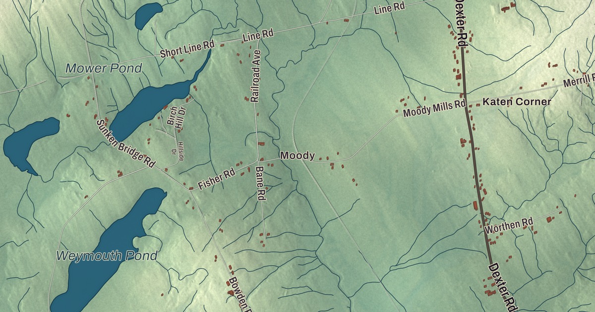
Saint Albans Road, Exeter Road and Dexter Road all come together in Corinna, and all three carry their names across this map of Corinna, Maine. Moody, Corinna Center, Ellis Corner, Katen Corner and Knox Hill Corner are printed too, along with Newport Road, Stetson Road, Airport Road and the water around them. Click here to purchase a print of this map for your wall.
Corinna is a town in Penobscot County, with 2,221 people at the 2020 census.
This map was made by KNOWOL in 2026 from public survey data and dressed in the style of an old atlas. The land is shaded from United States Geological Survey elevation data, and the roads and the town line come from the Census Bureau, which counts 39.46 square miles in Corinna, 0.78 of them water.
Dr. Warren’s daughter
Corinna started out as Township 4, Range 4, North of the Waldo Patent. On June 30, 1804, Dr. John Warren of Boston bought 23,040 acres of it from Massachusetts on speculation, at two cents an acre. To bring in settlers he gave away some land and built a combined gristmill and sawmill. The first homes were built of hewn logs, and when the town was incorporated on December 11, 1816, it took the name Corinna, after Dr. Warren’s daughter.
Corinna grew as a farming town, with water-powered mills at the outlet of Corundel Lake. After the Dexter and Newport Railroad arrived in 1865 and 1866, the village developed into a small mill town, with sawmills, planing mills, woolen mills, a door, sash and blind factory, boot and shoe shops and an iron foundry. The Eastland Woolen Mill made woolen cloth here from the 1930s until it closed in 1997. Corinna also sits on the Newport and Dover-Foxcroft Rail Trail, built along a former Maine Central Railroad line after its tracks and ties came out in 1993.
The Stewart Free Library stands on the west side of the town center. Levi M. Stewart, born here, made a fortune in business in Minnesota and gave the library to his hometown in memory of his parents. The Minneapolis architect William Harrison Grimshaw designed it, a Bangor contractor built it between 1895 and 1898, and when it was finished it was considered one of the finest public buildings in the state. It’s a two-and-a-half-story brick building with granite trim and a four-story clock tower, and the town’s page says it looks more like a midwestern county courthouse than a small-town Maine library. Stewart also gave 3,000 books to start the collection. Today it houses the library and the town offices, and it’s been on the National Register of Historic Places since 1974.
Corinna Union Academy taught the town’s students from 1851 to 1968, and two of its students went far. Gilbert Patten, born in Corinna in 1866, entered the academy at fourteen, started his own newspaper in 1888, the Corinna Owl, and went on to write the Frank Merriwell stories under the name Burt L. Standish, one a week for twenty years. Grenville C. Emery, who also studied at the academy, founded the Harvard School in Los Angeles in 1900, the school that’s now Harvard-Westlake. Sam Fifield, born in Corinna in 1839, became lieutenant governor of Wisconsin.
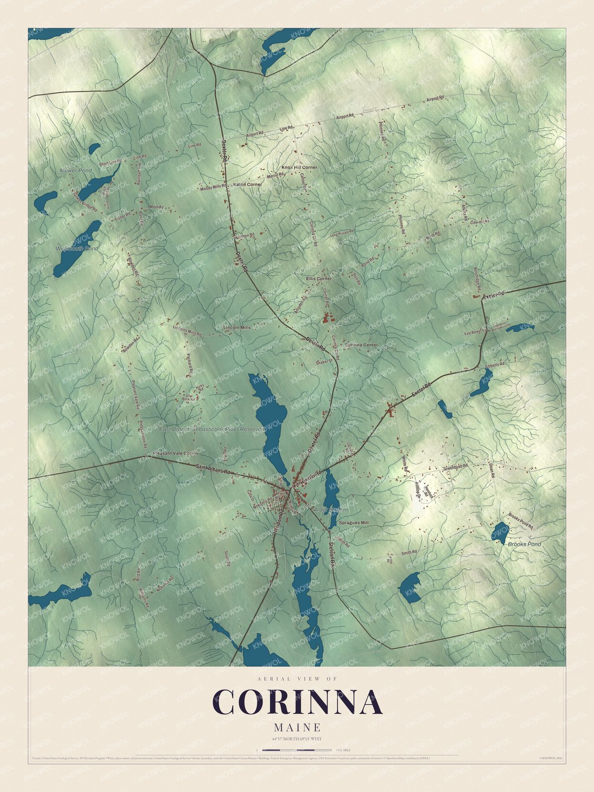
Click to explore a larger preview. The digital watermark does not appear on printed maps.
See it on a wall
The Corinna map as a framed print. Swipe for more.


The crossroads
Corinna sits at the meeting of three state routes, Route 7, Route 11 and Route 43, about eight miles north of Interstate 95, between Exeter, St. Albans, Dexter and Newport. Route 43 is St. Albans Road in town, and the Stewart Free Library faces the small green where it meets Nokomis Road. Route 7 is Dexter Road and Route 11 is Exeter Road. The village is in the southern part of town, beside Corundel Lake, and the town is drained by the East Branch Sebasticook River and Alder Stream, both part of the Kennebec River watershed.
Saint Albans Road, Exeter Road and Dexter Road are printed on the map, and so are Newport Road, Stetson Road and Airport Road. Moody, Corinna Center, Ellis Corner, Katen Corner and Knox Hill Corner are printed as well. The East Branch Sebasticook River Reservoir, Weymouth Pond, Alder Stream and Mower Pond are all labeled on the map.
This Corinna map makes a fine addition to an office, library or den, and it can help teach children the geography and history of the area. It’s made for everyone who calls Corinna home, from Moody to Knox Hill Corner, as it looks today. Zoom in on the preview above to explore the details, then click here to get your copy of the Corinna, Maine map.

Sources