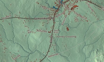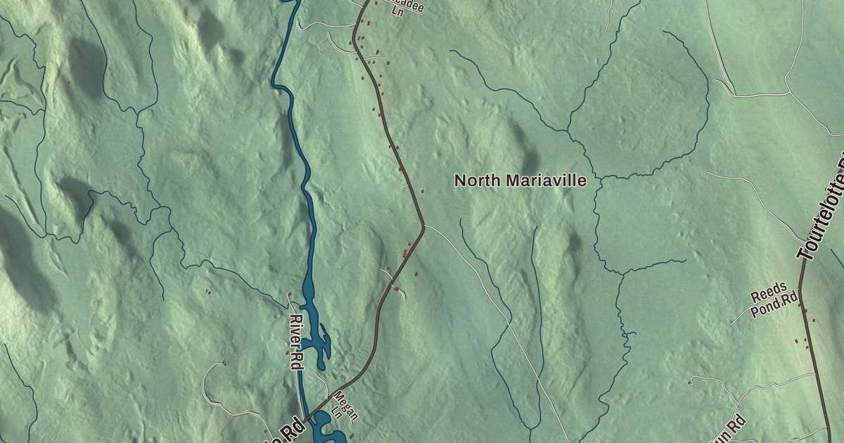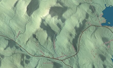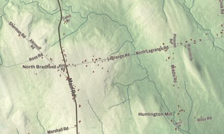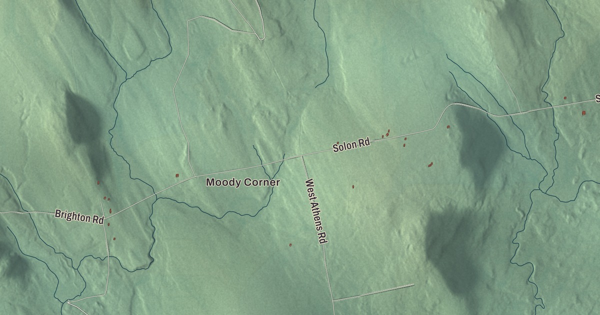
Look for Moody Corner on this map of Brighton, then find Mayfield Road, Brighton Road, Main Street, Old Stagecoach Road, Old Kingsbury Road and Solon Road. Three ponds carry their names as well: Wyman Pond, Smith Pond and Trout Pond. Click here to purchase a print of this map for your wall.
Brighton is a plantation in Somerset County, and 62 people lived here at the 2020 census.
KNOWOL made this map in 2026 from public survey data and gave it the look of an old atlas. The relief is shaded from United States Geological Survey elevation data, and the roads and the plantation line come from the Census Bureau, which counts 40.0 square miles here, 0.7 of them water.
North Hill, then Brighton
Brighton dates to 1816. The land had been known as T2 R1 of Bingham’s Kennebec Purchase, and on May 11, 1816, it was incorporated as the Town of North Hill. On January 29, 1827, the town took the name Brighton. It gave up land to its neighbor Athens in 1838 and again in 1862, and in 1895 it gave up its standing as a town and became a plantation, the form of local government it keeps today. The town of Bingham lies on its western side.
State Route 151 runs through the plantation. It comes north from Athens through rolling hills and woods, and 8 miles past Athens it reaches a small clearing that its page calls the center of Brighton. State Route 154 begins there, and Route 151 keeps going north to end at Mayfield Corner.
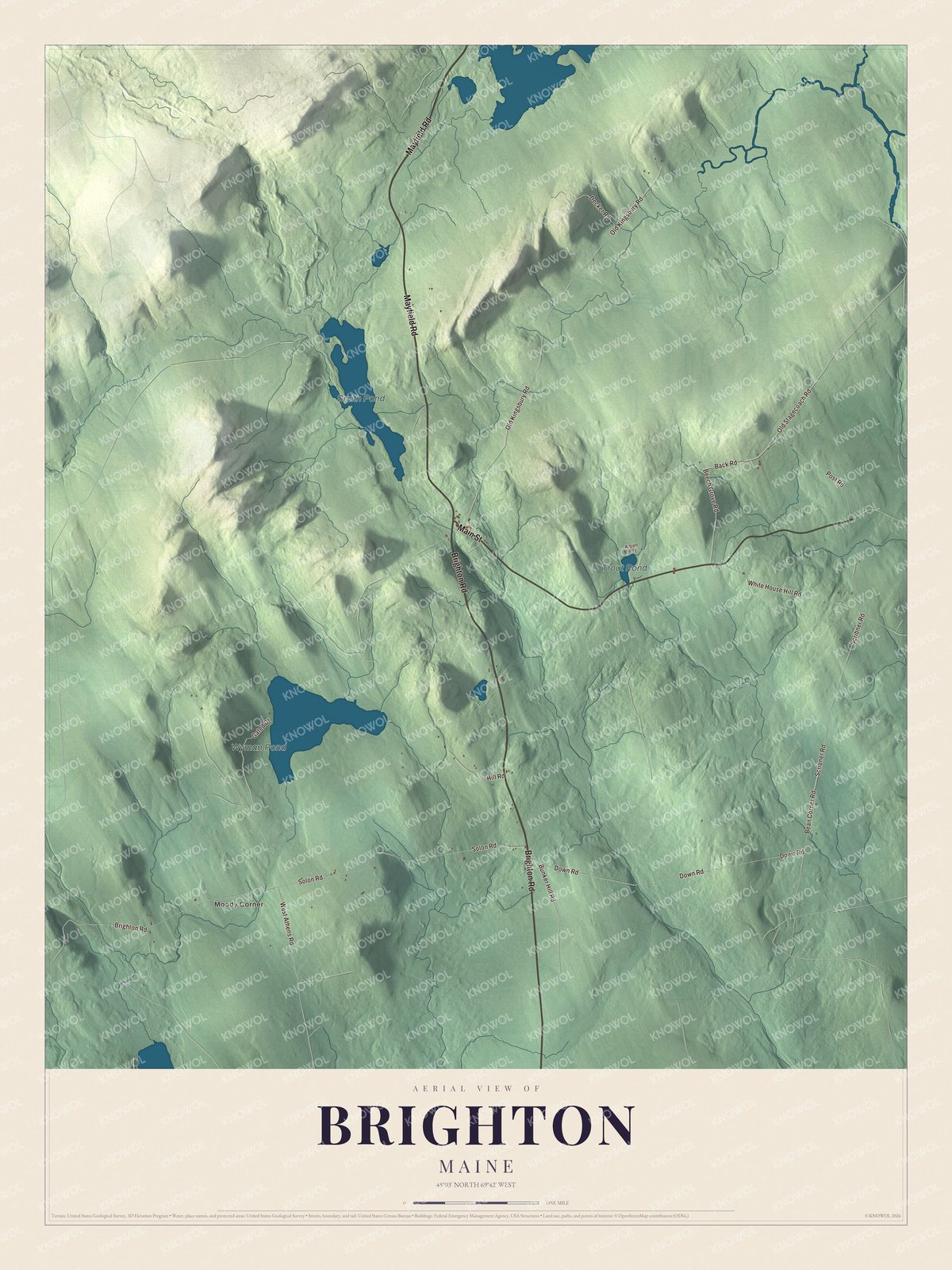
Click to explore a larger preview. The digital watermark does not appear on printed maps.
See it on a wall
The Brighton map as a framed print. Swipe for more.


The ponds and the roads
Moody Corner is printed on the map, and so are Wyman Pond, Smith Pond and Trout Pond. Mayfield Road, Brighton Road and Main Street are printed, along with Old Stagecoach Road, Old Kingsbury Road and Solon Road.
This Brighton map makes a handsome addition to an office, library or den, and it can teach children the geography and history of a small Somerset County plantation. It’s made for anyone who calls Brighton home, from Moody Corner to Trout Pond, as it looks today. Zoom in on the preview above to explore the details, then click here to get your copy of the Brighton, Maine map.

Sources