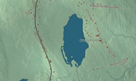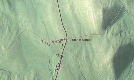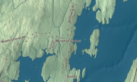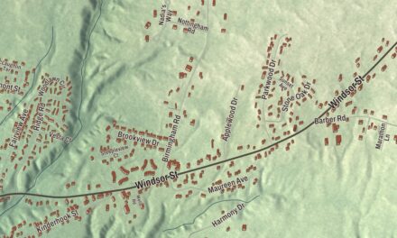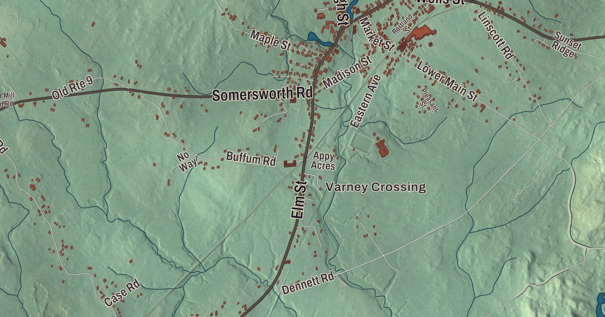
Wells Street and Elm Street meet in North Berwick’s village center, and this map follows them out across the whole York County town. Click here to purchase a print of this map for your wall.
North Berwick is a town in York County.
KNOWOL made this map in 2026 from public survey records, United States Geological Survey elevation data and Census Bureau files. Its atlas layout brings together North Berwick’s roads, buildings, ponds and waterways, and terrain, the town boundary and the pattern of buildings.
From Kittery Commons to North Berwick
North Berwick began as part of Kittery, in an area called Kittery Commons. A Quaker named John Morrell built a log cabin on Wells Street, and land here was granted to John Morrell Sr., whose sons Peter and Jedediah ran mills on the Great Works River. Jedediah’s son Winthrop built the Morrell House on Morrills Mill Road in 1763, a fine local example of Georgian craftsmanship that still stands near the Sanford line.
The area was set off from Kittery in 1713 as part of Berwick, a name taken from Berwick-upon-Tweed on the border between England and Scotland. On March 22, 1831, it was set off again and incorporated as North Berwick. The Thomas Hobbs Jr. House at 8 Wells Street, built in 1763 for a veteran of the French and Indian War, is one of the town’s oldest surviving houses. Hobbs gave food and lodging to travelers, locals knew the house as The Hostelry, and his family served in the legislature and in the 1819 convention that drafted Maine’s constitution.
Blankets, plows and the railroad
Doughty Falls on the Great Works River powered a sawmill, a gristmill and a carding mill, and the small mill town grew quickly after the Revolutionary War. The Portland, Saco & Portsmouth Railroad arrived in 1842 and the Boston & Maine in 1873, and North Berwick became a railroad hub. Boxcars left with lumber, shingles, bricks, carriages, caskets, clocks, stove polish, toboggans and sleds, along with barrels of apples, ice cut from frozen ponds, granite and tins of corn from a canning factory.
In 1834 the legislature incorporated Lang, Hill & Company to weave woolen blankets beside the Great Works River. After its wooden mill burned in 1861, the company rebuilt in brick in 1862 and made blankets for Civil War troops. The Olde Woolen Mill on Canal Street is the only major mill complex in the Berwick region of York County, and one of the earliest steam engines in the United States is preserved at its foundation level. The mill closed in 1955, played the Parrish Shoe Factory in the 1995 movie Jumanji, and became senior housing in 2009.
Mary R. Hurd, daughter of mill owner William Hill, inherited the woolen mill in 1873 and ran it until her death in 1933 at age 94. She paid for a fire station, a fire truck and the D. A. Hurd Library, and she kept the mills running in the early years of the Great Depression. Her 1894 house at 2 Elm Street is architecturally one of the finest Queen Anne and Eastlake houses in southern Maine.
Farmer William Hussey designed a cast iron plow in 1835, which led to the founding of the Hussey Plow Company. The firm went on to make ladders, ski jumps and chair lifts, and later bleachers and auditorium seats as the Hussey Seating Company. In 2003 it was honored as Maine’s oldest family-owned business, and its small 1831 office building on Dyer Street now holds the company museum. On High Street, the 1865 house of stove polish maker J.L. Prescott is one of the largest and most elaborate Italianate houses in southern Maine.
Hilltop and hometown names
Bauneg Beg Mountain is the town’s highest point. It has been used by mariners to navigate the Maine coast, and it’s home to the small whorled pogonia, one of the rarest orchids in the Eastern United States. Paul Chadbourne, who was born in North Berwick in 1823, became president of the University of Wisconsin and of Williams College. Ichabod Goodwin, born in 1794 in the community now known as North Berwick, became a Portsmouth merchant and the 27th governor of New Hampshire.
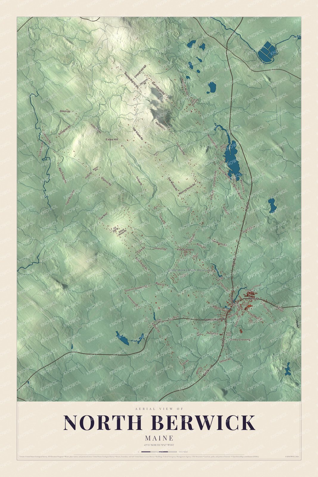
Click to explore a larger preview. The digital watermark does not appear on printed maps.
See it on a wall
The North Berwick map as a framed print. Swipe for more.


Explore the North Berwick map
Start with Varney Crossing and Estes Hill, then follow High Street, Wells Street, Somersworth Road, Elm Street, Governor Goodwin Road and Old Sanford Road across town. Those names are printed on the artwork. Then look outward toward Five Corners, and find the Great Works River Reservoir, which is labeled too.
In the village center the Hobbs house stands on Wells Street just east of Elm Street, and the Hurd house stands on Elm Street near the same corner. The woolen mill sits just south of Wells Street on the Great Works River, with its mill pond just north of the street.
For people who call North Berwick home, this map shows the town as it looks today. Put it in your office, library, or den, or use it to teach children the geography and history of the area. Zoom in on the preview above to explore the details, then click here to get your copy of the North Berwick, Maine map.

Sources
- North Berwick, Maine, Wikipedia
- Morrell House, Wikipedia
- Thomas Hobbs Jr. House, Wikipedia
- Olde Woolen Mill, Wikipedia
- Mary R. Hurd House, Wikipedia
- Hussey Plow Company Building, Wikipedia
- J.L. Prescott House, Wikipedia
- Bauneg Beg Mountain, Wikipedia
- Paul Chadbourne, Wikipedia
- Ichabod Goodwin, Wikipedia